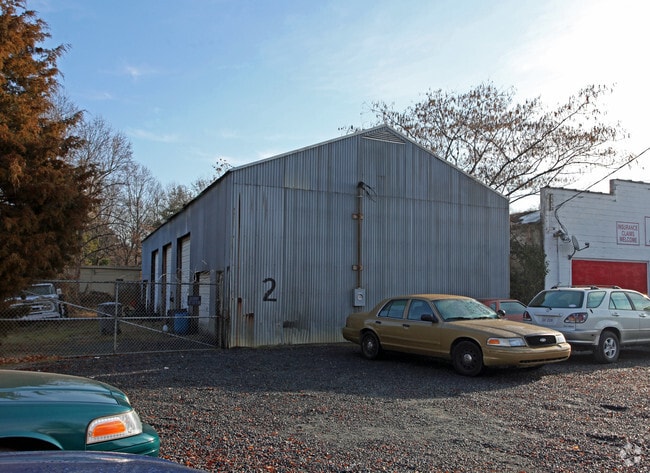
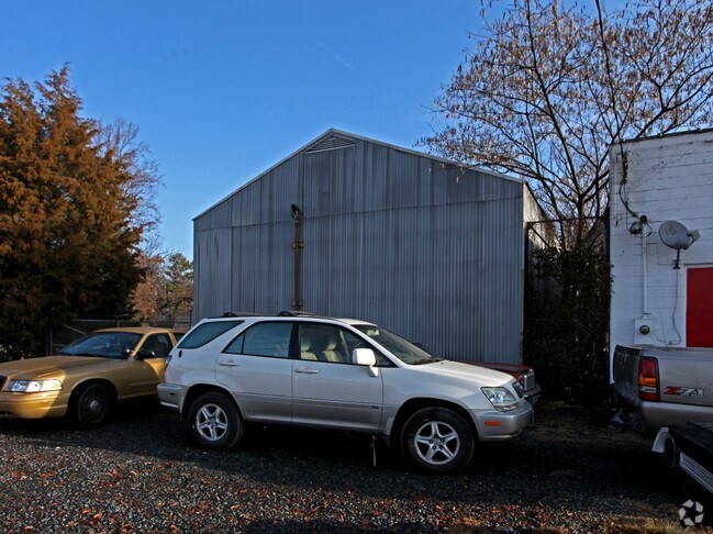
Property Record
3517 Monroe Rd, Charlotte, NC 28205

NEARBY LISTINGS FOR SALE OR LEASE
Property Detail
3517 Monroe Rd
Charlotte-Concord-Gastonia, NC-SC
Washburn Heights
159-026-09
L4 & 5 B3 M3-121 & L1 M3-161
Commercialnec
Mecklenburg
X
North Carolina
3710456300K
4,5,1
2024
0.71 AC
2025
East
001200
Charlotte
3,733 SF
DEMOGRAPHICS near 3517 Monroe Rd
1 Mile
3 Mile
5 Mile
2024 Total Population
12,088
115,683
313,888
2029 Population
12,791
122,465
333,321
Pop Growth 2024-2029
+ 5.82%
+ 5.86%
+ 6.19%
Average Age
35
37
37
2024 Total Households
5,532
52,432
142,413
HH Growth 2024-2029
+ 5.78%
+ 6.05%
+ 6.42%
Median Household Inc
$52,234
$74,172
$70,879
Avg Household Size
2.10
2.10
2.10
2024 Avg HH Vehicles
1.00
2.00
2.00
Median Home Value
$418,750
$513,554
$409,258
Median Year Built
1971
1978
1985
Nearby Places
Map Layers
Map Styles
 Street
 Aerial
- Restaurants
- Banks
- Shops
- Fitness
- Groceries
PUBLIC TRANSPORTATION
AIRPORT
Charlotte/Douglas International
DRIVE
WALK
Distance
Charlotte/Douglas International
22 min
14.2 mi
Freight Ports
Port of Wilmington
DRIVE
WALK
Distance
Port of Wilmington
1 min
176.0 mi
SALE & LEASE HISTORY
LISTING DATE
SALE/LEASE

Apr 26, 2019
For Lease
Nearby Properties
Address
Land Use
TOTAL SIZE
Lot Size
Zoning
Address
Land Use
TOTAL SIZE
Lot Size
Zoning
3,286,640 SF
55.70 AC
O6CD
Address
Land Use
TOTAL SIZE
Lot Size
Zoning
780,000 SF
7.69 AC
UMUD-O
Address
Land Use
TOTAL SIZE
Lot Size
Zoning
1,250,218 SF
17.75 AC
O2
Address
Land Use
TOTAL SIZE
Lot Size
Zoning
852,355 SF
16.72 AC
MUDDO
Address
Land Use
TOTAL SIZE
Lot Size
Zoning
1,017,564 SF
13.91 AC
O2
Address
Land Use
TOTAL SIZE
Lot Size
Zoning
944,863 SF
3.58 AC
UMUD
Address
Land Use
TOTAL SIZE
Lot Size
Zoning
864,694 SF
11.07 AC
MUDDO
Address
Land Use
TOTAL SIZE
Lot Size
Zoning
645,212 SF
3.76 AC
UMUD
Address
Land Use
TOTAL SIZE
Lot Size
Zoning
588,300 SF
1.45 AC
Address
Land Use
TOTAL SIZE
Lot Size
Zoning
768,780 SF
6.84 AC
UMUDO
Address
Land Use
TOTAL SIZE
Lot Size
Zoning
729,709 SF
10.67 AC
B2
Address
Land Use
TOTAL SIZE
Lot Size
Zoning
690,862 SF
136.80 AC
R17MF
Address
Land Use
TOTAL SIZE
Lot Size
Zoning
603,986 SF
1.47 AC
B1
Address
Land Use
TOTAL SIZE
Lot Size
Zoning
831,732 SF
24.50 AC
R3
Address
Land Use
TOTAL SIZE
Lot Size
Zoning
606,594 SF
3.45 AC
MUDDO
Address
Land Use
TOTAL SIZE
Lot Size
Zoning
534,085 SF
0.85 AC
MUDDO
Address
Land Use
TOTAL SIZE
Lot Size
Zoning
429,728 SF
1.08 AC
MUDDO
Address
Land Use
TOTAL SIZE
Lot Size
Zoning
533,477 SF
3.15 AC
I2
Address
Land Use
TOTAL SIZE
Lot Size
Zoning
590,973 SF
6.59 AC
MUDDCD
Address
Land Use
TOTAL SIZE
Lot Size
Zoning
499,729 SF
3.90 AC
I2
Address
Land Use
TOTAL SIZE
Lot Size
Zoning
504,845 SF
2.64 AC
UMUD
Address
Land Use
TOTAL SIZE
Lot Size
Zoning
411,129 SF
2.44 AC
B2
Address
Land Use
TOTAL SIZE
Lot Size
Zoning
386,012 SF
2.67 AC
UMUD
Address
Land Use
TOTAL SIZE
Lot Size
Zoning
252,198 SF
174 SF
O-2
Address
Land Use
TOTAL SIZE
Lot Size
Zoning
335,338 SF
3.37 AC
B1
Address
Land Use
TOTAL SIZE
Lot Size
Zoning
388,364 SF
3.26 AC
I2
Address
Land Use
TOTAL SIZE
Lot Size
Zoning
437,989 SF
4.30 AC
B2
Address
Land Use
TOTAL SIZE
Lot Size
Zoning
328,090 SF
70.27 AC
R3
Address
Land Use
TOTAL SIZE
Lot Size
Zoning
465,134 SF
3.65 AC
I2
Address
Land Use
TOTAL SIZE
Lot Size
Zoning
465,729 SF
2.47 AC
The World's #1 Commercial Real Estate Marketplace
Connect with us
© 2026 CoStar Group
The information above has been obtained from sources believed reliable. While we do not doubt its accuracy we have not verified it and make no guarantee, warranty or representation about it. It is your responsibility to independently confirm its accuracy and completeness. Any projections, opinions, assumptions, or estimates used are for example only and do not represent the current or future performance of the property. The value of this transaction to you depends on tax and other factors which should be evaluated by your tax, financial, and legal advisors. You and your advisors should conduct a careful, independent investigation of the property to determine to your satisfaction the suitability of the property for your needs.