Property Record
3524 Centerville Rosebud Rd, Snellville, GA 30039
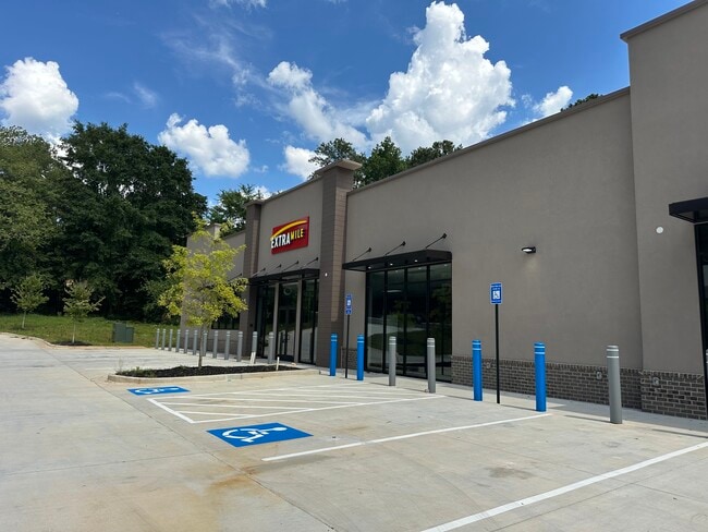

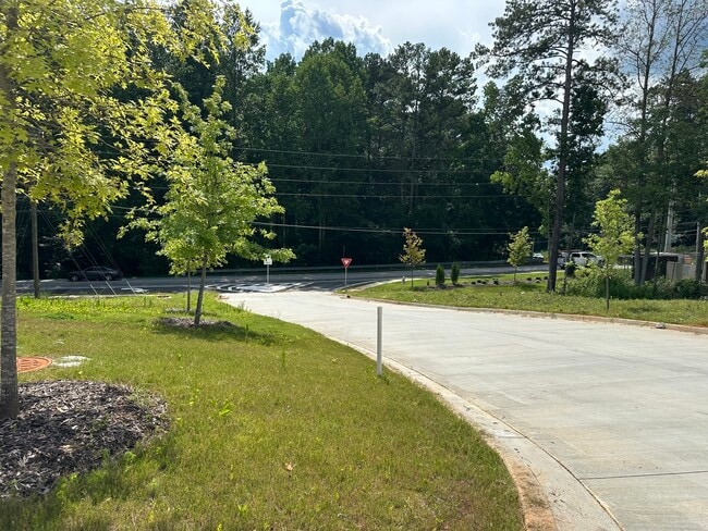
Property Detail
3524 Centerville Rosebud Rd
6-015-016
MINK LIVSEY RD
Residentialacreage
Gwinnett
C1
Georgia
B and X Area of moderate flood hazard, usually the area between the limits of the 100-year and 500-year floods.
15
2025
3.70 AC
2025
Lilburn/Snellville
050738
Atlanta
4,696 SF
Atlanta-Sandy Springs-Roswell, GA
NEARBY LISTINGS FOR SALE OR LEASE
DEMOGRAPHICS near 3524 Centerville Rosebud Rd
1 mile
3 mile
5 mile
2025 Total Population
5,681
53,650
124,635
2030 Population
5,920
55,797
129,734
Pop Growth 2025-2030
+ 4.21%
+ 4.00%
+ 4.09%
Average Age
39
38
39
2025 Total Households
1,816
17,040
40,920
HH Growth 2025-2030
+ 4.30%
+ 4.10%
+ 4.14%
Median Household Inc
$106,303
$88,978
$88,727
Avg Household Size
3.10
3.10
3.00
2025 Avg HH Vehicles
2.00
2.00
2.00
Median Home Value
$366,764
$351,080
$345,292
Median Year Built
1994
1993
1991
Nearby Places
Map Layers
Map Styles
 Street
 Aerial
Transit
 Traffic
 Biking
Places
Listings with unknown addresses are not visible on the map
- Restaurants
- Banks
- Shops
- Fitness
- Groceries
PUBLIC TRANSPORTATION
AIRPORT
Hartsfield - Jackson Atlanta International
Drive
Walk
Distance
Hartsfield - Jackson Atlanta International
49 min
32.7 mi
Nearby Properties
Address
Land Use
TOTAL SIZE
Lot Size
Zoning
Address
Land Use
TOTAL SIZE
Lot Size
Zoning
462,669 SF
102.65 AC
R100
Address
Land Use
TOTAL SIZE
Lot Size
Zoning
3,500 SF
391.26 AC
R100
Address
Land Use
TOTAL SIZE
Lot Size
Zoning
129,843 SF
30.97 AC
R100
Address
Land Use
TOTAL SIZE
Lot Size
Zoning
175,045 SF
13.01 AC
RM
Address
Land Use
TOTAL SIZE
Lot Size
Zoning
23,692 SF
112.46 AC
RA200
Address
Land Use
TOTAL SIZE
Lot Size
Zoning
196,333 SF
23.27 AC
RS180
Address
Land Use
TOTAL SIZE
Lot Size
Zoning
217,730 SF
29.68 AC
C2
Address
Land Use
TOTAL SIZE
Lot Size
Zoning
54.06 AC
R100
Address
Land Use
TOTAL SIZE
Lot Size
Zoning
100,427 SF
22.60 AC
RA200
Address
Land Use
TOTAL SIZE
Lot Size
Zoning
103,821 SF
10.80 AC
M1
Address
Land Use
TOTAL SIZE
Lot Size
Zoning
151,922 SF
18.19 AC
R100
Address
Land Use
TOTAL SIZE
Lot Size
Zoning
91,096 SF
28.67 AC
OI
Address
Land Use
TOTAL SIZE
Lot Size
Zoning
90,000 SF
9.32 AC
M1
Address
Land Use
TOTAL SIZE
Lot Size
Zoning
90,151 SF
2.38 AC
C2
Address
Land Use
TOTAL SIZE
Lot Size
Zoning
57,206 SF
7 AC
C2
Address
Land Use
TOTAL SIZE
Lot Size
Zoning
350.63 AC
R100
Address
Land Use
TOTAL SIZE
Lot Size
Zoning
68,800 SF
9.01 AC
C2
Address
Land Use
TOTAL SIZE
Lot Size
Zoning
1,296 SF
65.93 AC
R100
Address
Land Use
TOTAL SIZE
Lot Size
Zoning
72,148 SF
23.23 AC
R100
Address
Land Use
TOTAL SIZE
Lot Size
Zoning
61,811 SF
10.75 AC
OI
Address
Land Use
TOTAL SIZE
Lot Size
Zoning
3,403 SF
34.69 AC
CI
Address
Land Use
TOTAL SIZE
Lot Size
Zoning
93,914 SF
1.56 AC
C2
Address
Land Use
TOTAL SIZE
Lot Size
Zoning
88,464 SF
8.86 AC
RM
Address
Land Use
TOTAL SIZE
Lot Size
Zoning
18,420 SF
13.92 AC
OI
Address
Land Use
TOTAL SIZE
Lot Size
Zoning
26,866 SF
8.21 AC
OI
Address
Land Use
TOTAL SIZE
Lot Size
Zoning
8,976 SF
23.21 AC
CI
Address
Land Use
TOTAL SIZE
Lot Size
Zoning
36.74 AC
R100
Address
Land Use
TOTAL SIZE
Lot Size
Zoning
38,237 SF
5.86 AC
R100
Address
Land Use
TOTAL SIZE
Lot Size
Zoning
116,970 SF
19.90 AC
C2
Address
Land Use
TOTAL SIZE
Lot Size
Zoning
36,320 SF
15.43 AC
R100
The World's #1 Commercial Real Estate Marketplace
Connect with us
© 2026 CoStar Group
The information above has been obtained from sources believed reliable. While we do not doubt its accuracy we have not verified it and make no guarantee, warranty or representation about it. It is your responsibility to independently confirm its accuracy and completeness. Any projections, opinions, assumptions, or estimates used are for example only and do not represent the current or future performance of the property. The value of this transaction to you depends on tax and other factors which should be evaluated by your tax, financial, and legal advisors. You and your advisors should conduct a careful, independent investigation of the property to determine to your satisfaction the suitability of the property for your needs.