Property Record
3530 Conowingo Rd, Street, MD 21154


Property Detail
3530 Conowingo Rd
05-014735
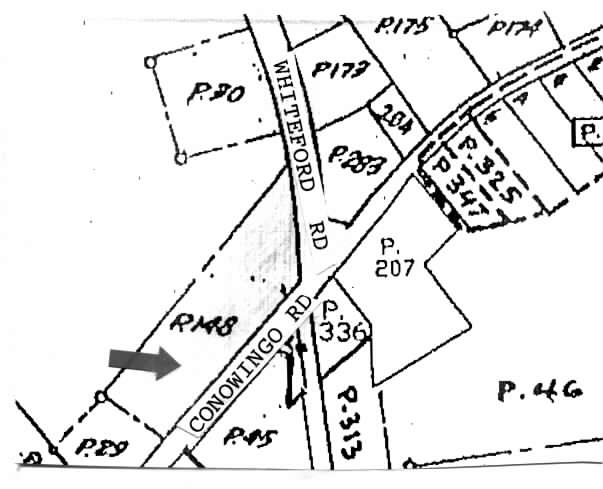
3.91 ACRES 3530 CONOWINGO ROAD 3530 CONOWINGO RD 103/27
Conveniencestore
Harford
B3
Maryland
B and X Area of moderate flood hazard, usually the area between the limits of the 100-year and 500-year floods.
3.91 AC
2025
Outlying Harford County
2025
Baltimore
305200
Baltimore-Columbia-Towson, MD
4,687 SF
NEARBY LISTINGS FOR SALE OR LEASE
-
-
View all Street listings for sale on LoopNet.com
DEMOGRAPHICS near 3530 Conowingo Rd
1 mile
3 mile
5 mile
2025 Total Population
1,114
4,572
12,849
2030 Population
1,137
4,645
12,977
Pop Growth 2025-2030
+ 2.06%
+ 1.60%
+ 1.00%
Average Age
45
45
44
2025 Total Households
434
1,755
4,764
HH Growth 2025-2030
+ 2.07%
+ 1.60%
+ 1.01%
Median Household Inc
$57,499
$70,755
$95,881
Avg Household Size
2.50
2.50
2.60
2025 Avg HH Vehicles
2.00
2.00
3.00
Median Home Value
$447,014
$419,323
$453,404
Median Year Built
1982
1979
1979
Nearby Places
Map Layers
Map Styles
 Street
 Aerial
Layers
 Traffic
 Biking
Places
Listings with unknown addresses are not visible on the map
- Restaurants
- Banks
- Shops
- Fitness
- Groceries
PUBLIC TRANSPORTATION
AIRPORT
Baltimore/Washington International Thurgood Marshall
Drive
Walk
Distance
Baltimore/Washington International Thurgood Marshall
69 min
46.8 mi
Freight Ports
Port Newark Container Terminal
Drive
Walk
Distance
Port Newark Container Terminal
43 min
27.1 mi
Nearby Properties
Address
Land Use
TOTAL SIZE
Lot Size
Zoning
Address
Land Use
TOTAL SIZE
Lot Size
Zoning
73,217.90 AC
Address
Land Use
TOTAL SIZE
Lot Size
Zoning
1,447 SF
39.73 AC
AG
Address
Land Use
TOTAL SIZE
Lot Size
Zoning
1,368 SF
31.10 AC
AG
Address
Land Use
TOTAL SIZE
Lot Size
Zoning
10,500 SF
11.20 AC
B3
Address
Land Use
TOTAL SIZE
Lot Size
Zoning
4.79 AC
AG
Address
Land Use
TOTAL SIZE
Lot Size
Zoning
8,662 SF
54.16 AC
B3
Address
Land Use
TOTAL SIZE
Lot Size
Zoning
12,178 SF
98 AC
GI/AG
Address
Land Use
TOTAL SIZE
Lot Size
Zoning
18,002 SF
13.44 AC
GI
Address
Land Use
TOTAL SIZE
Lot Size
Zoning
9,100 SF
1.43 AC
B3
Address
Land Use
TOTAL SIZE
Lot Size
Zoning
11.12 AC
GI
Address
Land Use
TOTAL SIZE
Lot Size
Zoning
12 AC
AG
Address
Land Use
TOTAL SIZE
Lot Size
Zoning
10,714 SF
6.78 AC
AG
Address
Land Use
TOTAL SIZE
Lot Size
Zoning
320.12 AC
AG
Address
Land Use
TOTAL SIZE
Lot Size
Zoning
7,904 SF
44.48 AC
AG
Address
Land Use
TOTAL SIZE
Lot Size
Zoning
88.94 AC
AG VR
Address
Land Use
TOTAL SIZE
Lot Size
Zoning
6,082 SF
0.57 AC
B3
Address
Land Use
TOTAL SIZE
Lot Size
Zoning
3,283 SF
0.91 AC
B3
Address
Land Use
TOTAL SIZE
Lot Size
Zoning
3,200 SF
7.09 AC
CI
Address
Land Use
TOTAL SIZE
Lot Size
Zoning
1,152 SF
10 AC
AG
Address
Land Use
TOTAL SIZE
Lot Size
Zoning
157.59 AC
AG
Address
Land Use
TOTAL SIZE
Lot Size
Zoning
34.98 AC
B3
Address
Land Use
TOTAL SIZE
Lot Size
Zoning
2,347 SF
3.62 AC
B3 AG
Address
Land Use
TOTAL SIZE
Lot Size
Zoning
3,351 SF
5.79 AC
AG
Address
Land Use
TOTAL SIZE
Lot Size
Zoning
2,796 SF
4.97 AC
RR
Address
Land Use
TOTAL SIZE
Lot Size
Zoning
2.18 AC
VR
Address
Land Use
TOTAL SIZE
Lot Size
Zoning
4.40 AC
AG
Address
Land Use
TOTAL SIZE
Lot Size
Zoning
6,000 SF
9.65 AC
GI
Address
Land Use
TOTAL SIZE
Lot Size
Zoning
4,526 SF
1.01 AC
B3
Address
Land Use
TOTAL SIZE
Lot Size
Zoning
3,992 SF
11.07 AC
AG
The World's #1 Commercial Real Estate Marketplace
Connect with us
© 2026 CoStar Group
The information above has been obtained from sources believed reliable. While we do not doubt its accuracy we have not verified it and make no guarantee, warranty or representation about it. It is your responsibility to independently confirm its accuracy and completeness. Any projections, opinions, assumptions, or estimates used are for example only and do not represent the current or future performance of the property. The value of this transaction to you depends on tax and other factors which should be evaluated by your tax, financial, and legal advisors. You and your advisors should conduct a careful, independent investigation of the property to determine to your satisfaction the suitability of the property for your needs.