Property Record
3531 Royal Cir, Jacksonville, FL 32277

NEARBY LISTINGS FOR SALE OR LEASE
Property Detail
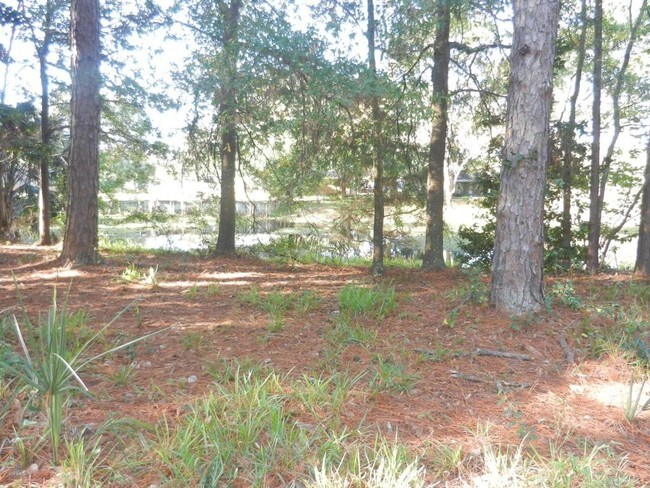
3531 Royal Cir
Jacksonville, FL
Floral Bluff Est 1St Addn
113252-0000
17-95 04-2S-27E 4.7 FIRST ADDN TO FLORAL BLUFF ESTATES PT LOT 41,PT LOT 42 RECD O/R 21521-1416
Residentialacreage
Duval
X
Florida
12031C0376J
41,42
2025
4.69 AC
2026
Arlington
014901
Jacksonville (Florida)
1,117 SF
DEMOGRAPHICS near 3531 Royal Cir
1 mile
3 mile
5 mile
2024 Total Population
17,570
67,591
165,129
2029 Population
18,343
70,634
173,851
Pop Growth 2024-2029
+ 4.40%
+ 4.50%
+ 5.28%
Average Age
36
37
38
2024 Total Households
6,460
25,908
66,683
HH Growth 2024-2029
+ 4.54%
+ 4.60%
+ 5.50%
Median Household Inc
$47,007
$49,431
$43,814
Avg Household Size
2.40
2.50
2.30
2024 Avg HH Vehicles
1.00
2.00
1.00
Median Home Value
$180,012
$192,987
$193,712
Median Year Built
1972
1972
1972
Nearby Places
Map Layers
Map Styles
 Street
 Aerial
Transit
 Traffic
 Biking
Places
Listings with unknown addresses are not visible on the map
- Restaurants
- Banks
- Shops
- Fitness
- Groceries
PUBLIC TRANSPORTATION
AIRPORT
Jacksonville International
Drive
Walk
Distance
Jacksonville International
30 min
18.4 mi
Freight Ports
Jacksonville Port
Drive
Walk
Distance
Jacksonville Port
17 min
8.2 mi
Nearby Properties
Address
Land Use
TOTAL SIZE
Lot Size
Zoning
Address
Land Use
TOTAL SIZE
Lot Size
Zoning
1,146,106 SF
206.66 AC
PBF-2
Address
Land Use
TOTAL SIZE
Lot Size
Zoning
557,032 SF
40.06 AC
PUD
Address
Land Use
TOTAL SIZE
Lot Size
Zoning
488,100 SF
35.32 AC
CRO
Address
Land Use
TOTAL SIZE
Lot Size
Zoning
323,318 SF
19.24 AC
PUD
Address
Land Use
TOTAL SIZE
Lot Size
Zoning
410,225 SF
22.11 AC
PUD
Address
Land Use
TOTAL SIZE
Lot Size
Zoning
324,687 SF
26.60 AC
RMD-D
Address
Land Use
TOTAL SIZE
Lot Size
Zoning
394,122 SF
17.19 AC
RMD-D
Address
Land Use
TOTAL SIZE
Lot Size
Zoning
300,360 SF
14.44 AC
RMD-C
Address
Land Use
TOTAL SIZE
Lot Size
Zoning
328,457 SF
23.99 AC
RMD-D
Address
Land Use
TOTAL SIZE
Lot Size
Zoning
184,221 SF
12.05 AC
PUD
Address
Land Use
TOTAL SIZE
Lot Size
Zoning
305,254 SF
26.77 AC
PUD
Address
Land Use
TOTAL SIZE
Lot Size
Zoning
222,235 SF
14.58 AC
RMD-D
Address
Land Use
TOTAL SIZE
Lot Size
Zoning
164,330 SF
9.04 AC
PUD
Address
Land Use
TOTAL SIZE
Lot Size
Zoning
604,760 SF
11.06 AC
IW
Address
Land Use
TOTAL SIZE
Lot Size
Zoning
231,453 SF
24.55 AC
PUD
Address
Land Use
TOTAL SIZE
Lot Size
Zoning
276,782 SF
50.66 AC
IW
Address
Land Use
TOTAL SIZE
Lot Size
Zoning
229,298 SF
11.74 AC
RMD-D
Address
Land Use
TOTAL SIZE
Lot Size
Zoning
101,206 SF
9.32 AC
PUD
Address
Land Use
TOTAL SIZE
Lot Size
Zoning
252,229 SF
10.74 AC
RMD-D
Address
Land Use
TOTAL SIZE
Lot Size
Zoning
180,180 SF
11.06 AC
CRO
Address
Land Use
TOTAL SIZE
Lot Size
Zoning
211,429 SF
18.27 AC
PUD
Address
Land Use
TOTAL SIZE
Lot Size
Zoning
74,137 SF
59.05 AC
IW
Address
Land Use
TOTAL SIZE
Lot Size
Zoning
259,690 SF
17.83 AC
PUD
Address
Land Use
TOTAL SIZE
Lot Size
Zoning
34,251 SF
5.02 AC
PUD
Address
Land Use
TOTAL SIZE
Lot Size
Zoning
107,850 SF
14.39 AC
PBF-2
Address
Land Use
TOTAL SIZE
Lot Size
Zoning
156,969 SF
15.27 AC
RMD-D
Address
Land Use
TOTAL SIZE
Lot Size
Zoning
1,312 SF
56.81 AC
RMD-A
Address
Land Use
TOTAL SIZE
Lot Size
Zoning
195,639 SF
11.07 AC
RMD-D
Address
Land Use
TOTAL SIZE
Lot Size
Zoning
71,741 SF
6.60 AC
PUD
Address
Land Use
TOTAL SIZE
Lot Size
Zoning
285,579 SF
14.89 AC
CRO
The World's #1 Commercial Real Estate Marketplace
Connect with us
© 2026 CoStar Group
The information above has been obtained from sources believed reliable. While we do not doubt its accuracy we have not verified it and make no guarantee, warranty or representation about it. It is your responsibility to independently confirm its accuracy and completeness. Any projections, opinions, assumptions, or estimates used are for example only and do not represent the current or future performance of the property. The value of this transaction to you depends on tax and other factors which should be evaluated by your tax, financial, and legal advisors. You and your advisors should conduct a careful, independent investigation of the property to determine to your satisfaction the suitability of the property for your needs.