Property Record
35322 72Nd St, Covert, MI 49043
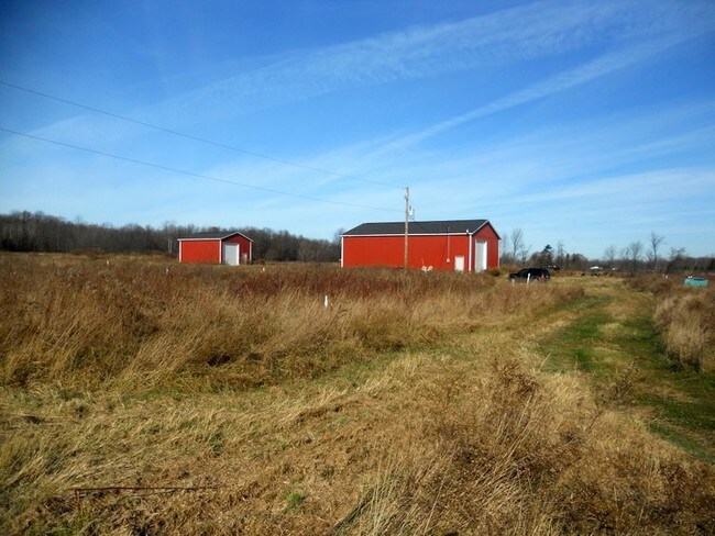


Property Detail
35322 72Nd St
80-07-014-053-00
259-C 14-2-17 786-354 1260-270 1378-96 1394-549 1405-299 1406-605 1425-769/70 1502-207 THAT PART OF N 1/2 OF S 1/2 OF SE 1/4
Agriculturalland
VAN BUREN
LD-2
Michigan
B and X Area of moderate flood hazard, usually the area between the limits of the 100-year and 500-year floods.
40.70 AC
2024
Van Buren County
2025
West Michigan
010600
NEARBY LISTINGS FOR SALE OR LEASE
-
-
View all Covert listings for sale on LoopNet.com
DEMOGRAPHICS near 35322 72Nd St
1 mile
3 mile
5 mile
2025 Total Population
259
2,151
6,981
2030 Population
264
2,223
7,217
Pop Growth 2025-2030
+ 1.93%
+ 3.35%
+ 3.38%
Average Age
40
41
41
2025 Total Households
93
771
2,593
HH Growth 2025-2030
+ 2.15%
+ 3.11%
+ 3.24%
Median Household Inc
$36,770
$37,302
$48,333
Avg Household Size
2.80
2.70
2.60
2025 Avg HH Vehicles
2.00
2.00
2.00
Median Home Value
$197,058
$195,341
$191,869
Median Year Built
1973
1975
1974
Nearby Places
Map Layers
Map Styles
 Street
 Aerial
Transit
 Traffic
 Biking
Places
Listings with unknown addresses are not visible on the map
- Restaurants
- Banks
- Shops
- Fitness
- Groceries
PUBLIC TRANSPORTATION
COMMUTER RAIL
Bangor Amtrak Station (Pere Marquette - Amtrak)
Drive
Walk
Distance
Bangor Amtrak Station (Pere Marquette - Amtrak)
25 min
8.8 mi
Freight Ports
Port Milwaukee
Drive
Walk
Distance
Port Milwaukee
250 min
202.1 mi
Nearby Properties
Address
Land Use
TOTAL SIZE
Lot Size
Zoning
Address
Land Use
TOTAL SIZE
Lot Size
Zoning
43,414 SF
71.10 AC
HC
Address
Land Use
TOTAL SIZE
Lot Size
Zoning
67,500 SF
10 AC
RR
Address
Land Use
TOTAL SIZE
Lot Size
Zoning
6,926 SF
2.73 AC
Address
Land Use
TOTAL SIZE
Lot Size
Zoning
9,100 SF
3 AC
MIX-2
Address
Land Use
TOTAL SIZE
Lot Size
Zoning
2,268 SF
118 AC
AG
Address
Land Use
TOTAL SIZE
Lot Size
Zoning
2,319 SF
60 AC
MIX-2
Address
Land Use
TOTAL SIZE
Lot Size
Zoning
1,220 SF
79.20 AC
AG
Address
Land Use
TOTAL SIZE
Lot Size
Zoning
153 AC
AG
Address
Land Use
TOTAL SIZE
Lot Size
Zoning
26,612 SF
10 AC
I
Address
Land Use
TOTAL SIZE
Lot Size
Zoning
1,708 SF
98.70 AC
AG
Address
Land Use
TOTAL SIZE
Lot Size
Zoning
16.30 AC
HIGH DENSE
Address
Land Use
TOTAL SIZE
Lot Size
Zoning
1,872 SF
55 AC
AG
Address
Land Use
TOTAL SIZE
Lot Size
Zoning
76.40 AC
NO ZONI
Address
Land Use
TOTAL SIZE
Lot Size
Zoning
3,920 SF
16 AC
NO ZONI
Address
Land Use
TOTAL SIZE
Lot Size
Zoning
195 AC
AG
Address
Land Use
TOTAL SIZE
Lot Size
Zoning
3,160 SF
70 AC
NO ZONI
Address
Land Use
TOTAL SIZE
Lot Size
Zoning
1,428 SF
60 AC
AG
Address
Land Use
TOTAL SIZE
Lot Size
Zoning
120 AC
NO ZONI
Address
Land Use
TOTAL SIZE
Lot Size
Zoning
2,684 SF
80 AC
NO ZONI
Address
Land Use
TOTAL SIZE
Lot Size
Zoning
1,998 SF
77 AC
AG
Address
Land Use
TOTAL SIZE
Lot Size
Zoning
96.60 AC
RR
Address
Land Use
TOTAL SIZE
Lot Size
Zoning
1,516 SF
80 AC
NO ZONI
Address
Land Use
TOTAL SIZE
Lot Size
Zoning
4,030 SF
39 AC
AG
Address
Land Use
TOTAL SIZE
Lot Size
Zoning
990 SF
9.26 AC
RR
Address
Land Use
TOTAL SIZE
Lot Size
Zoning
1,870 SF
32.60 AC
NO ZONI
Address
Land Use
TOTAL SIZE
Lot Size
Zoning
123.90 AC
RR
Address
Land Use
TOTAL SIZE
Lot Size
Zoning
1,300 SF
66 AC
NO ZONI
Address
Land Use
TOTAL SIZE
Lot Size
Zoning
1,998 SF
46.95 AC
RR
Address
Land Use
TOTAL SIZE
Lot Size
Zoning
864 SF
80 AC
NO ZONI
Address
Land Use
TOTAL SIZE
Lot Size
Zoning
4,330 SF
2.50 AC
LD-2
The World's #1 Commercial Real Estate Marketplace
Connect with us
© 2026 CoStar Group
The information above has been obtained from sources believed reliable. While we do not doubt its accuracy we have not verified it and make no guarantee, warranty or representation about it. It is your responsibility to independently confirm its accuracy and completeness. Any projections, opinions, assumptions, or estimates used are for example only and do not represent the current or future performance of the property. The value of this transaction to you depends on tax and other factors which should be evaluated by your tax, financial, and legal advisors. You and your advisors should conduct a careful, independent investigation of the property to determine to your satisfaction the suitability of the property for your needs.