Property Record
35602 S 291St Ave, Buckeye, AZ 85326
Property Detail
35602 S 291St Ave
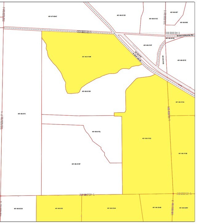
401-69-035
TH PT NW4 SEC 8 T3S R4W LY BTWN SWLY LN OF GILA BEND-GILLESPIE CANAL & NLY R/W LN OF OLD US HWY 80 PER RD MAP 11/31
Farms
MARICOPA
RU-43
Arizona
AE The base floodplain where base flood elevations are provided. AE Zones are now used on new format FIRMs instead of A1-A30 Zones.
160 AC
2025
Southwest Outlying
2025
Phoenix
723306
Phoenix-Mesa-Chandler, AZ
NEARBY LISTINGS FOR SALE OR LEASE
-
-
View all Buckeye listings for sale on LoopNet.com
DEMOGRAPHICS near 35602 S 291St Ave
1 mile
3 mile
5 mile
2025 Total Population
223
2,512
3,492
2030 Population
223
2,515
3,496
Pop Growth 2025-2030
0.00%
+ 0.12%
+ 0.11%
Average Age
44
44
44
2025 Total Households
3
14
18
HH Growth 2025-2030
0.00%
0.00%
0.00%
Median Household Inc
$5,000
$8,124
$8,499
Avg Household Size
1.50
3.00
3.00
2025 Avg HH Vehicles
2.00
2.00
2.00
Median Home Value
$250,000
$258,333
$255,555
Median Year Built
1984
1983
1982
Nearby Places
Map Layers
Map Styles
 Street
 Aerial
Layers
 Traffic
 Biking
Places
Listings with unknown addresses are not visible on the map
- Restaurants
- Banks
- Shops
- Fitness
- Groceries
Nearby Properties
Address
Land Use
TOTAL SIZE
Lot Size
Zoning
Address
Land Use
TOTAL SIZE
Lot Size
Zoning
2,910 SF
1,101.06 AC
R-43
Address
Land Use
TOTAL SIZE
Lot Size
Zoning
1,962 SF
286.03 AC
C-G
Address
Land Use
TOTAL SIZE
Lot Size
Zoning
130.04 AC
PAD
Address
Land Use
TOTAL SIZE
Lot Size
Zoning
11,508 SF
25.46 AC
R-43
Address
Land Use
TOTAL SIZE
Lot Size
Zoning
20 SF
240 AC
R-190
Address
Land Use
TOTAL SIZE
Lot Size
Zoning
266.45 AC
R-190
Address
Land Use
TOTAL SIZE
Lot Size
Zoning
8,900 SF
120 AC
R-43
Address
Land Use
TOTAL SIZE
Lot Size
Zoning
190.24 AC
R-43
Address
Land Use
TOTAL SIZE
Lot Size
Zoning
2,560 SF
5.36 AC
R-43
Address
Land Use
TOTAL SIZE
Lot Size
Zoning
157 AC
R-190
Address
Land Use
TOTAL SIZE
Lot Size
Zoning
1,369 SF
78.20 AC
R-190
Address
Land Use
TOTAL SIZE
Lot Size
Zoning
1,882 SF
8.06 AC
R-5
Address
Land Use
TOTAL SIZE
Lot Size
Zoning
1,190 SF
80 AC
R-190
The World's #1 Commercial Real Estate Marketplace
Connect with us
© 2026 CoStar Group
The information above has been obtained from sources believed reliable. While we do not doubt its accuracy we have not verified it and make no guarantee, warranty or representation about it. It is your responsibility to independently confirm its accuracy and completeness. Any projections, opinions, assumptions, or estimates used are for example only and do not represent the current or future performance of the property. The value of this transaction to you depends on tax and other factors which should be evaluated by your tax, financial, and legal advisors. You and your advisors should conduct a careful, independent investigation of the property to determine to your satisfaction the suitability of the property for your needs.