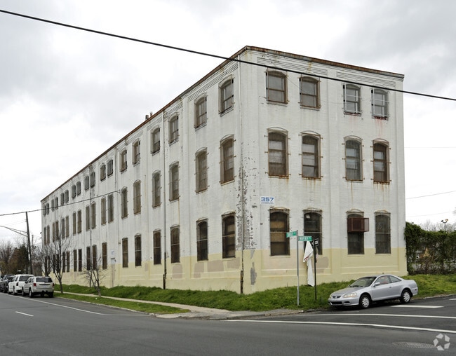
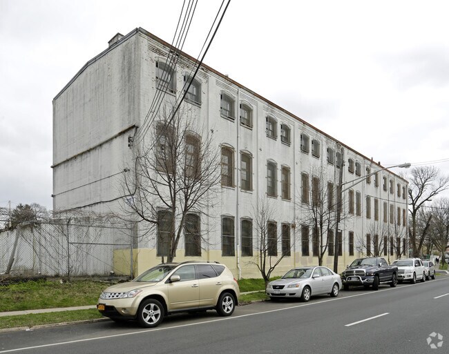
Property Record
357 Targee St, Staten Island, NY 10304

Property Detail
357 Targee St
00635-0001
Richmond
Publicschool
New York
C8-1
1
B and X Area of moderate flood hazard, usually the area between the limits of the 100-year and 500-year floods.
1.35 AC
0
Staten Island
2026
Long Island (New York)
002900
New York-Jersey City-White Plains, NY-NJ
97,339 SF
NEARBY LISTINGS FOR SALE OR LEASE
DEMOGRAPHICS near 357 Targee St
1 mile
3 mile
5 mile
2025 Total Population
50,077
256,690
775,540
2030 Population
50,759
259,172
769,283
Pop Growth 2025-2030
+ 1.36%
+ 0.97%
(0.81%)
Average Age
39
41
40
2025 Total Households
17,105
92,921
265,827
HH Growth 2025-2030
+ 1.41%
+ 0.88%
(0.70%)
Median Household Inc
$62,823
$87,316
$79,196
Avg Household Size
2.80
2.60
2.80
2025 Avg HH Vehicles
1.00
1.00
1.00
Median Home Value
$684,117
$736,579
$746,307
Median Year Built
1966
1960
1954
Nearby Places
Map Layers
Map Styles
 Street
 Aerial
Layers
 Traffic
 Biking
Places
Listings with unknown addresses are not visible on the map
- Restaurants
- Banks
- Shops
- Fitness
- Groceries
PUBLIC TRANSPORTATION
COMMUTER RAIL
Clifton (Staten Island Railway - New York MTA Subway (The Subway))
Drive
Walk
Distance
Clifton (Staten Island Railway - New York MTA Subway (The Subway))
3 min
18 min
0.9 mi
Stapleton (Staten Island Railway - New York MTA Subway (The Subway))
Drive
Walk
Distance
Stapleton (Staten Island Railway - New York MTA Subway (The Subway))
3 min
18 min
1.0 mi
AIRPORT
Newark Liberty International
Drive
Walk
Distance
Newark Liberty International
26 min
16.0 mi
LaGuardia
Drive
Walk
Distance
LaGuardia
37 min
21.5 mi
John F Kennedy International
Drive
Walk
Distance
John F Kennedy International
37 min
24.2 mi
Freight Ports
GCT Bayonne
Drive
Walk
Distance
GCT Bayonne
23 min
11.9 mi
SALE & LEASE HISTORY
LISTING DATE
SALE/LEASE

Sep 23, 2016
For Sale
Nearby Properties
Address
Land Use
TOTAL SIZE
Lot Size
Zoning
Address
Land Use
TOTAL SIZE
Lot Size
Zoning
738,600 SF
189.62 AC
R3-2
Address
Land Use
TOTAL SIZE
Lot Size
Zoning
640,077 SF
19.34 AC
R3-1
Address
Land Use
TOTAL SIZE
Lot Size
Zoning
115.33 AC
IH
Address
Land Use
TOTAL SIZE
Lot Size
Zoning
135,000 SF
117.71 AC
PARK
Address
Land Use
TOTAL SIZE
Lot Size
Zoning
236,591 SF
207.66 AC
R3-2
Address
Land Use
TOTAL SIZE
Lot Size
Zoning
73.85 AC
IH
Address
Land Use
TOTAL SIZE
Lot Size
Zoning
538,240 SF
12.08 AC
R2
Address
Land Use
TOTAL SIZE
Lot Size
Zoning
494,840 SF
34.77 AC
R3-2
Address
Land Use
TOTAL SIZE
Lot Size
Zoning
286,000 SF
12.63 AC
PARK
Address
Land Use
TOTAL SIZE
Lot Size
Zoning
521,405 SF
52.79 AC
R3-1
Address
Land Use
TOTAL SIZE
Lot Size
Zoning
111,000 SF
186.03 AC
PARK
Address
Land Use
TOTAL SIZE
Lot Size
Zoning
48.68 AC
IH
Address
Land Use
TOTAL SIZE
Lot Size
Zoning
492,962 SF
8.12 AC
M1-1
Address
Land Use
TOTAL SIZE
Lot Size
Zoning
11 AC
WR
Address
Land Use
TOTAL SIZE
Lot Size
Zoning
183,839 SF
9.74 AC
PARK
Address
Land Use
TOTAL SIZE
Lot Size
Zoning
19.26 AC
IH
Address
Land Use
TOTAL SIZE
Lot Size
Zoning
23.72 AC
IH
Address
Land Use
TOTAL SIZE
Lot Size
Zoning
26,826 SF
9 AC
IH
Address
Land Use
TOTAL SIZE
Lot Size
Zoning
183,215 SF
3.47 AC
C4-2
Address
Land Use
TOTAL SIZE
Lot Size
Zoning
41.25 AC
IH
Address
Land Use
TOTAL SIZE
Lot Size
Zoning
240 SF
47.41 AC
R3-2
Address
Land Use
TOTAL SIZE
Lot Size
Zoning
43,068 SF
216.83 AC
PARK
Address
Land Use
TOTAL SIZE
Lot Size
Zoning
476,145 SF
50.97 AC
R3-1
Address
Land Use
TOTAL SIZE
Lot Size
Zoning
296,631 SF
6.70 AC
R4
Address
Land Use
TOTAL SIZE
Lot Size
Zoning
158,400 SF
1.14 AC
R3A
Address
Land Use
TOTAL SIZE
Lot Size
Zoning
146,855 SF
16.50 AC
R3-1
Address
Land Use
TOTAL SIZE
Lot Size
Zoning
414,400 SF
2.70 AC
R7A
Address
Land Use
TOTAL SIZE
Lot Size
Zoning
149,000 SF
17.68 AC
M1-1
Address
Land Use
TOTAL SIZE
Lot Size
Zoning
77,502 SF
1.29 AC
R3-1
Address
Land Use
TOTAL SIZE
Lot Size
Zoning
900 SF
50 AC
R1-1
The World's #1 Commercial Real Estate Marketplace
Connect with us
© 2026 CoStar Group
The information above has been obtained from sources believed reliable. While we do not doubt its accuracy we have not verified it and make no guarantee, warranty or representation about it. It is your responsibility to independently confirm its accuracy and completeness. Any projections, opinions, assumptions, or estimates used are for example only and do not represent the current or future performance of the property. The value of this transaction to you depends on tax and other factors which should be evaluated by your tax, financial, and legal advisors. You and your advisors should conduct a careful, independent investigation of the property to determine to your satisfaction the suitability of the property for your needs.