Property Record
3576 Highway 90, Milton, FL 32571
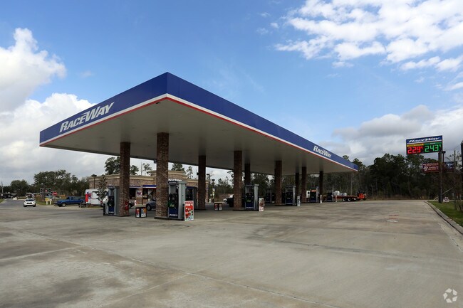


Property Detail
3576 Highway 90
22-1N-29-0000-00401-0000
(*NEW PARCEL FOR 2012 ROLL:) COMM AT TH NE COR OF SEC THN N81*00W 1957 FT THN S 1815 FT TO TH NLY LI OF OR 2659 PG 1634 THN S89*3057W 390.93 FT TO TH NELY R/W WOODBINE RD & CRV THN SELY ON ARC 458.42 FT (R=2814.93,CB=S48*0639E) THN S52*4700E 476.97 F
Storemultistory
SANTA ROSA
HCD
Florida
AE The base floodplain where base flood elevations are provided. AE Zones are now used on new format FIRMs instead of A1-A30 Zones.
1.26 AC
2024
Avalon Beach/Milton
2025
Pensacola
010708
Pensacola-Ferry Pass-Brent, FL
13,383 SF
NEARBY LISTINGS FOR SALE OR LEASE
DEMOGRAPHICS near 3576 Highway 90
1 mile
3 mile
5 mile
2025 Total Population
2,115
15,699
47,909
2030 Population
2,289
16,990
51,493
Pop Growth 2025-2030
+ 8.23%
+ 8.22%
+ 7.48%
Average Age
40
40
40
2025 Total Households
785
5,810
17,476
HH Growth 2025-2030
+ 8.15%
+ 8.00%
+ 7.33%
Median Household Inc
$69,932
$76,325
$86,008
Avg Household Size
2.70
2.70
2.70
2025 Avg HH Vehicles
2.00
2.00
2.00
Median Home Value
$240,576
$282,888
$313,108
Median Year Built
1990
1993
1997
Nearby Places
Map Layers
Map Styles
 Street
 Aerial
Layers
 Traffic
 Biking
Places
Listings with unknown addresses are not visible on the map
- Restaurants
- Banks
- Shops
- Fitness
- Groceries
PUBLIC TRANSPORTATION
AIRPORT
Pensacola International
Drive
Walk
Distance
Pensacola International
22 min
11.4 mi
Nearby Properties
Address
Land Use
TOTAL SIZE
Lot Size
Zoning
Address
Land Use
TOTAL SIZE
Lot Size
Zoning
130,379 SF
18.18 AC
HCD
Address
Land Use
TOTAL SIZE
Lot Size
Zoning
154,042 SF
10.36 AC
HCD
Address
Land Use
TOTAL SIZE
Lot Size
Zoning
47.05 AC
AG-RR
Address
Land Use
TOTAL SIZE
Lot Size
Zoning
81,123 SF
8.78 AC
HCD
Address
Land Use
TOTAL SIZE
Lot Size
Zoning
60,129 SF
0.11 AC
HCD
Address
Land Use
TOTAL SIZE
Lot Size
Zoning
13.70 AC
HCD
Address
Land Use
TOTAL SIZE
Lot Size
Zoning
76,674 SF
2.80 AC
HCD
Address
Land Use
TOTAL SIZE
Lot Size
Zoning
93,476 SF
7.43 AC
HCD
Address
Land Use
TOTAL SIZE
Lot Size
Zoning
389.54 AC
AG-RR
Address
Land Use
TOTAL SIZE
Lot Size
Zoning
112,196 SF
343.01 AC
HCD
Address
Land Use
TOTAL SIZE
Lot Size
Zoning
50,616 SF
2.56 AC
R3
Address
Land Use
TOTAL SIZE
Lot Size
Zoning
30,564 SF
11.12 AC
HCD
Address
Land Use
TOTAL SIZE
Lot Size
Zoning
23,668 SF
2.30 AC
HCD
Address
Land Use
TOTAL SIZE
Lot Size
Zoning
13,560 SF
5.93 AC
HCD
Address
Land Use
TOTAL SIZE
Lot Size
Zoning
45,485 SF
6.49 AC
HCD
Address
Land Use
TOTAL SIZE
Lot Size
Zoning
62,174 SF
4 AC
HCD
Address
Land Use
TOTAL SIZE
Lot Size
Zoning
63,181 SF
6.61 AC
R2
Address
Land Use
TOTAL SIZE
Lot Size
Zoning
40,250 SF
2.19 AC
HCD
Address
Land Use
TOTAL SIZE
Lot Size
Zoning
35,878 SF
10 AC
HCD
Address
Land Use
TOTAL SIZE
Lot Size
Zoning
20,250 SF
3.78 AC
HCD
Address
Land Use
TOTAL SIZE
Lot Size
Zoning
47,991 SF
2.24 AC
HCD
Address
Land Use
TOTAL SIZE
Lot Size
Zoning
198,945 SF
358 AC
M2
Address
Land Use
TOTAL SIZE
Lot Size
Zoning
16,596 SF
1.29 AC
HCD
Address
Land Use
TOTAL SIZE
Lot Size
Zoning
27,839 SF
4 AC
AG-RR
Address
Land Use
TOTAL SIZE
Lot Size
Zoning
15,573 SF
1.65 AC
HCD
Address
Land Use
TOTAL SIZE
Lot Size
Zoning
16,675 SF
2 AC
HCD
Address
Land Use
TOTAL SIZE
Lot Size
Zoning
41,800 SF
3.81 AC
HCD
Address
Land Use
TOTAL SIZE
Lot Size
Zoning
24,061 SF
1.95 AC
HCD
Address
Land Use
TOTAL SIZE
Lot Size
Zoning
26,310 SF
120 AC
AG-RR
The World's #1 Commercial Real Estate Marketplace
Connect with us
© 2026 CoStar Group
The information above has been obtained from sources believed reliable. While we do not doubt its accuracy we have not verified it and make no guarantee, warranty or representation about it. It is your responsibility to independently confirm its accuracy and completeness. Any projections, opinions, assumptions, or estimates used are for example only and do not represent the current or future performance of the property. The value of this transaction to you depends on tax and other factors which should be evaluated by your tax, financial, and legal advisors. You and your advisors should conduct a careful, independent investigation of the property to determine to your satisfaction the suitability of the property for your needs.