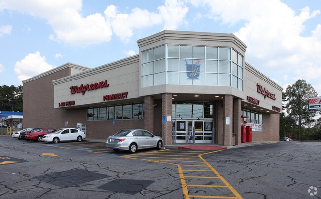
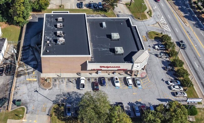
Property Record
3584 Wesley Chapel Rd, Decatur, GA 30034


NEARBY LISTINGS FOR SALE OR LEASE
Property Detail
3584 Wesley Chapel Rd
15-061-01-004
225 X 210 X 199 X 30 X 25 X 192 1.10AC 8-21-0 224 X 210 X 199 X 1.22AC 10-5-0
Storebuilding
DeKalb
X
Georgia
13151C0040D
4
2025
1.22 AC
2025
Forest Park/Morrow
023447
Atlanta
12,848 SF
Atlanta-Sandy Springs-Roswell, GA
DEMOGRAPHICS near 3584 Wesley Chapel Rd
1 Mile
3 Mile
5 Mile
2024 Total Population
8,960
64,856
169,832
2029 Population
8,865
64,580
170,388
Pop Growth 2024-2029
(1.06%)
(0.43%)
+ 0.33%
Average Age
43
40
40
2024 Total Households
3,379
23,663
63,222
HH Growth 2024-2029
(1.12%)
(0.38%)
+ 0.31%
Median Household Inc
$71,504
$63,299
$60,495
Avg Household Size
2.60
2.70
2.60
2024 Avg HH Vehicles
2.00
2.00
2.00
Median Home Value
$229,294
$213,171
$203,300
Median Year Built
1979
1987
1984
Nearby Places
Map Layers
Map Styles
 Street
 Aerial
- Restaurants
- Banks
- Shops
- Fitness
- Groceries
PUBLIC TRANSPORTATION
AIRPORT
Hartsfield - Jackson Atlanta International
DRIVE
WALK
Distance
Hartsfield - Jackson Atlanta International
23 min
13.9 mi
SALE & LEASE HISTORY
LISTING DATE
SALE/LEASE

Nov 08, 2021
For Sale
Nearby Properties
Address
Land Use
TOTAL SIZE
Lot Size
Zoning
Address
Land Use
TOTAL SIZE
Lot Size
Zoning
284,650 SF
21.75 AC
R100
Address
Land Use
TOTAL SIZE
Lot Size
Zoning
72,870 SF
12.34 AC
C2
Address
Land Use
TOTAL SIZE
Lot Size
Zoning
253,740 SF
13.33 AC
RM75
Address
Land Use
TOTAL SIZE
Lot Size
Zoning
13,114 SF
17.54 AC
RM100
Address
Land Use
TOTAL SIZE
Lot Size
Zoning
209,022 SF
16.22 AC
RM100
Address
Land Use
TOTAL SIZE
Lot Size
Zoning
235,787 SF
15.43 AC
RM100
Address
Land Use
TOTAL SIZE
Lot Size
Zoning
554,853 SF
42.64 AC
RM75
Address
Land Use
TOTAL SIZE
Lot Size
Zoning
174,027 SF
35.37 AC
R100
Address
Land Use
TOTAL SIZE
Lot Size
Zoning
419,434 SF
21.59 AC
RM85
Address
Land Use
TOTAL SIZE
Lot Size
Zoning
300,697 SF
21.18 AC
RM85
Address
Land Use
TOTAL SIZE
Lot Size
Zoning
86,140 SF
61.60 AC
R100
Address
Land Use
TOTAL SIZE
Lot Size
Zoning
132,604 SF
19.12 AC
RM100
Address
Land Use
TOTAL SIZE
Lot Size
Zoning
367,452 SF
30.89 AC
RM100
Address
Land Use
TOTAL SIZE
Lot Size
Zoning
217,904 SF
14.84 AC
Address
Land Use
TOTAL SIZE
Lot Size
Zoning
278,272 SF
21 AC
RM100
Address
Land Use
TOTAL SIZE
Lot Size
Zoning
182,490 SF
12.46 AC
RM100
Address
Land Use
TOTAL SIZE
Lot Size
Zoning
320,450 SF
38.85 AC
M
Address
Land Use
TOTAL SIZE
Lot Size
Zoning
144,950 SF
8.96 AC
RM100
Address
Land Use
TOTAL SIZE
Lot Size
Zoning
272,304 SF
25.70 AC
RM100
Address
Land Use
TOTAL SIZE
Lot Size
Zoning
134,156 SF
12.41 AC
RM100
Address
Land Use
TOTAL SIZE
Lot Size
Zoning
124,603 SF
10.60 AC
M
Address
Land Use
TOTAL SIZE
Lot Size
Zoning
111,628 SF
14.76 AC
M
Address
Land Use
TOTAL SIZE
Lot Size
Zoning
140,779 SF
30.63 AC
X
Address
Land Use
TOTAL SIZE
Lot Size
Zoning
151,804 SF
10.87 AC
RM100
Address
Land Use
TOTAL SIZE
Lot Size
Zoning
84,096 SF
8.85 AC
C1
Address
Land Use
TOTAL SIZE
Lot Size
Zoning
105,100 SF
11.43 AC
C1: LOCAL
Address
Land Use
TOTAL SIZE
Lot Size
Zoning
157,567 SF
16.89 AC
M: INDUSTR
Address
Land Use
TOTAL SIZE
Lot Size
Zoning
93,259 SF
6.32 AC
M
Address
Land Use
TOTAL SIZE
Lot Size
Zoning
71,383 SF
9.05 AC
NS
Address
Land Use
TOTAL SIZE
Lot Size
Zoning
137,557 SF
11.04 AC
RM100
The World's #1 Commercial Real Estate Marketplace
Connect with us
© 2026 CoStar Group
The information above has been obtained from sources believed reliable. While we do not doubt its accuracy we have not verified it and make no guarantee, warranty or representation about it. It is your responsibility to independently confirm its accuracy and completeness. Any projections, opinions, assumptions, or estimates used are for example only and do not represent the current or future performance of the property. The value of this transaction to you depends on tax and other factors which should be evaluated by your tax, financial, and legal advisors. You and your advisors should conduct a careful, independent investigation of the property to determine to your satisfaction the suitability of the property for your needs.