Property Record
36 Ethan Dr, New Providence, NJ 07974


Property Detail
36 Ethan Dr
11-00333-0000-00017
UNION
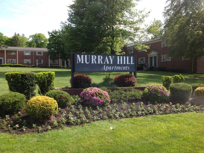
Apartment
New Jersey
R4
17
B and X Area of moderate flood hazard, usually the area between the limits of the 100-year and 500-year floods.
5.50 AC
2024
Western Union County
2025
Northern New Jersey
038101
Newark, NJ
84 SF
NEARBY LISTINGS FOR SALE OR LEASE
DEMOGRAPHICS near 36 Ethan Dr
1 mile
3 mile
5 mile
2025 Total Population
10,663
73,426
224,627
2030 Population
11,166
77,458
236,394
Pop Growth 2025-2030
+ 4.72%
+ 5.49%
+ 5.24%
Average Age
42
41
41
2025 Total Households
4,045
25,655
78,125
HH Growth 2025-2030
+ 4.55%
+ 5.54%
+ 5.31%
Median Household Inc
$147,053
$189,836
$169,722
Avg Household Size
2.60
2.80
2.80
2025 Avg HH Vehicles
2.00
2.00
2.00
Median Home Value
$778,482
$821,451
$793,850
Median Year Built
1963
1961
1958
Nearby Places
Map Layers
Map Styles
 Street
 Aerial
Layers
 Traffic
 Biking
Places
Listings with unknown addresses are not visible on the map
- Restaurants
- Banks
- Shops
- Fitness
- Groceries
PUBLIC TRANSPORTATION
COMMUTER RAIL
Murray Hill (Morris & Essex Gladstone Branch - NJ Transit Commuter Rail (NJ Transit))
Drive
Walk
Distance
Murray Hill (Morris & Essex Gladstone Branch - NJ Transit Commuter Rail (NJ Transit))
1 min
5 min
0.3 mi
New Providence (Morris & Essex Gladstone Branch - NJ Transit Commuter Rail (NJ Transit))
Drive
Walk
Distance
New Providence (Morris & Essex Gladstone Branch - NJ Transit Commuter Rail (NJ Transit))
6 min
2.5 mi
AIRPORT
Newark Liberty International
Drive
Walk
Distance
Newark Liberty International
23 min
17.0 mi
LaGuardia
Drive
Walk
Distance
LaGuardia
57 min
36.3 mi
Freight Ports
New York Container Terminal
Drive
Walk
Distance
New York Container Terminal
33 min
20.0 mi
Nearby Properties
Address
Land Use
TOTAL SIZE
Lot Size
Zoning
Address
Land Use
TOTAL SIZE
Lot Size
Zoning
1,968 SF
88.85 AC
PROD
Address
Land Use
TOTAL SIZE
Lot Size
Zoning
Address
Land Use
TOTAL SIZE
Lot Size
Zoning
151,088 SF
26.48 AC
CCRC
Address
Land Use
TOTAL SIZE
Lot Size
Zoning
4,595 SF
4.57 AC
M-3
Address
Land Use
TOTAL SIZE
Lot Size
Zoning
7.19 AC
PI
Address
Land Use
TOTAL SIZE
Lot Size
Zoning
153.40 AC
OR
Address
Land Use
TOTAL SIZE
Lot Size
Zoning
439.33 AC
Address
Land Use
TOTAL SIZE
Lot Size
Zoning
0.42 AC
R-1
Address
Land Use
TOTAL SIZE
Lot Size
Zoning
47.69 AC
MU
Address
Land Use
TOTAL SIZE
Lot Size
Zoning
47.80 AC
H-D
Address
Land Use
TOTAL SIZE
Lot Size
Zoning
144.37 AC
Address
Land Use
TOTAL SIZE
Lot Size
Zoning
34.60 AC
MU
Address
Land Use
TOTAL SIZE
Lot Size
Zoning
140,732 SF
42.73 AC
OR
Address
Land Use
TOTAL SIZE
Lot Size
Zoning
19.14 AC
Address
Land Use
TOTAL SIZE
Lot Size
Zoning
24.92 AC
MU
Address
Land Use
TOTAL SIZE
Lot Size
Zoning
28.09 AC
R-3
Address
Land Use
TOTAL SIZE
Lot Size
Zoning
4.36 AC
OB
Address
Land Use
TOTAL SIZE
Lot Size
Zoning
4.04 AC
B
Address
Land Use
TOTAL SIZE
Lot Size
Zoning
61,912 SF
16 AC
OR
Address
Land Use
TOTAL SIZE
Lot Size
Zoning
18.87 AC
Address
Land Use
TOTAL SIZE
Lot Size
Zoning
23.66 AC
R2
Address
Land Use
TOTAL SIZE
Lot Size
Zoning
356.94 AC
OL
Address
Land Use
TOTAL SIZE
Lot Size
Zoning
1,605 SF
2.37 AC
M-3
Address
Land Use
TOTAL SIZE
Lot Size
Zoning
117.63 AC
Address
Land Use
TOTAL SIZE
Lot Size
Zoning
36.55 AC
OL
Address
Land Use
TOTAL SIZE
Lot Size
Zoning
184,000 SF
24.43 AC
OR
Address
Land Use
TOTAL SIZE
Lot Size
Zoning
18.27 AC
Address
Land Use
TOTAL SIZE
Lot Size
Zoning
14.56 AC
Address
Land Use
TOTAL SIZE
Lot Size
Zoning
28.80 AC
Address
Land Use
TOTAL SIZE
Lot Size
Zoning
6.76 AC
MU
The World's #1 Commercial Real Estate Marketplace
Connect with us
© 2026 CoStar Group
The information above has been obtained from sources believed reliable. While we do not doubt its accuracy we have not verified it and make no guarantee, warranty or representation about it. It is your responsibility to independently confirm its accuracy and completeness. Any projections, opinions, assumptions, or estimates used are for example only and do not represent the current or future performance of the property. The value of this transaction to you depends on tax and other factors which should be evaluated by your tax, financial, and legal advisors. You and your advisors should conduct a careful, independent investigation of the property to determine to your satisfaction the suitability of the property for your needs.