Property Record
36 Ridge Rd, Danbury, CT 06810
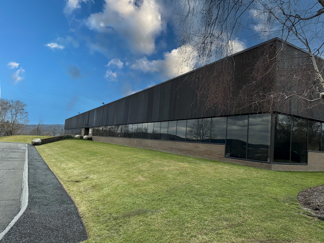

Property Detail
36 Ridge Rd
DANB-000016G-000000-000032
Western Ct
Vacantlandnec
Connecticut
R3
62
AE The base floodplain where base flood elevations are provided. AE Zones are now used on new format FIRMs instead of A1-A30 Zones.
1.55 AC
2025
Danbury
2025
Westchester/So Connecticut
210502
Bridgeport-Stamford-Danbury, CT
NEARBY LISTINGS FOR SALE OR LEASE
DEMOGRAPHICS near 36 Ridge Rd
1 mile
3 mile
5 mile
2025 Total Population
2,544
44,878
102,894
2030 Population
2,581
45,673
104,617
Pop Growth 2025-2030
+ 1.45%
+ 1.77%
+ 1.67%
Average Age
46
40
41
2025 Total Households
1,041
16,597
37,656
HH Growth 2025-2030
+ 1.54%
+ 1.99%
+ 1.76%
Median Household Inc
$106,389
$82,927
$92,948
Avg Household Size
2.30
2.60
2.60
2025 Avg HH Vehicles
2.00
2.00
2.00
Median Home Value
$453,399
$452,883
$446,021
Median Year Built
1985
1974
1972
Nearby Places
Map Layers
Map Styles
 Street
 Aerial
Layers
 Traffic
 Biking
Places
Listings with unknown addresses are not visible on the map
- Restaurants
- Banks
- Shops
- Fitness
- Groceries
PUBLIC TRANSPORTATION
COMMUTER RAIL
Danbury Station (New Haven Line - Metro-North Commuter Railroad Company (Metro-North))
Drive
Walk
Distance
Danbury Station (New Haven Line - Metro-North Commuter Railroad Company (Metro-North))
5 min
2.1 mi
Bethel Station (New Haven Line - Metro-North Commuter Railroad Company (Metro-North))
Drive
Walk
Distance
Bethel Station (New Haven Line - Metro-North Commuter Railroad Company (Metro-North))
11 min
4.5 mi
AIRPORT
Westchester County
Drive
Walk
Distance
Westchester County
43 min
32.8 mi
Freight Ports
Port of New Haven
Drive
Walk
Distance
Port of New Haven
57 min
38.2 mi
SALE & LEASE HISTORY
LISTING DATE
SALE/LEASE

Oct 02, 2023
For Lease
Jan 06, 2025
For Sale
Dec 30, 2025
For Lease
Dec 11, 2025
For Lease
Nearby Properties
Address
Land Use
TOTAL SIZE
Lot Size
Zoning
Address
Land Use
TOTAL SIZE
Lot Size
Zoning
505.03 AC
PND
Address
Land Use
TOTAL SIZE
Lot Size
Zoning
9.04 AC
CCBD
Address
Land Use
TOTAL SIZE
Lot Size
Zoning
54.91 AC
RA40
Address
Land Use
TOTAL SIZE
Lot Size
Zoning
253,696 SF
83.75 AC
CDD
Address
Land Use
TOTAL SIZE
Lot Size
Zoning
56.59 AC
IL40
Address
Land Use
TOTAL SIZE
Lot Size
Zoning
135.19 AC
IL40
Address
Land Use
TOTAL SIZE
Lot Size
Zoning
7.98 AC
RH3
Address
Land Use
TOTAL SIZE
Lot Size
Zoning
7,769 SF
17.75 AC
RA-20
Address
Land Use
TOTAL SIZE
Lot Size
Zoning
13.70 AC
RA-20
Address
Land Use
TOTAL SIZE
Lot Size
Zoning
18.63 AC
CG20
Address
Land Use
TOTAL SIZE
Lot Size
Zoning
95,976 SF
4.14 AC
RH3
Address
Land Use
TOTAL SIZE
Lot Size
Zoning
273,127 SF
10.33 AC
RA-40
Address
Land Use
TOTAL SIZE
Lot Size
Zoning
10.51 AC
RMF-4
Address
Land Use
TOTAL SIZE
Lot Size
Zoning
31 AC
RMF4
Address
Land Use
TOTAL SIZE
Lot Size
Zoning
165,840 SF
9.49 AC
CG20
Address
Land Use
TOTAL SIZE
Lot Size
Zoning
478,816 SF
39.59 AC
IL40
Address
Land Use
TOTAL SIZE
Lot Size
Zoning
42.36 AC
R-3
Address
Land Use
TOTAL SIZE
Lot Size
Zoning
10.44 AC
CA80
Address
Land Use
TOTAL SIZE
Lot Size
Zoning
158,981 SF
12.79 AC
RA20
Address
Land Use
TOTAL SIZE
Lot Size
Zoning
45.78 AC
RM12
Address
Land Use
TOTAL SIZE
Lot Size
Zoning
7.28 AC
RH3
Address
Land Use
TOTAL SIZE
Lot Size
Zoning
47,564 SF
4.45 AC
CCBD
Address
Land Use
TOTAL SIZE
Lot Size
Zoning
10 AC
CG-20
Address
Land Use
TOTAL SIZE
Lot Size
Zoning
17.24 AC
IL-40
Address
Land Use
TOTAL SIZE
Lot Size
Zoning
198,560 SF
3.30 AC
CLCB
Address
Land Use
TOTAL SIZE
Lot Size
Zoning
10.51 AC
IL40
Address
Land Use
TOTAL SIZE
Lot Size
Zoning
12.51 AC
IL40
Address
Land Use
TOTAL SIZE
Lot Size
Zoning
133,936 SF
5.61 AC
IL40
Address
Land Use
TOTAL SIZE
Lot Size
Zoning
7,732 SF
42.55 AC
RMF-4
Address
Land Use
TOTAL SIZE
Lot Size
Zoning
175,406 SF
12.23 AC
CG20
The World's #1 Commercial Real Estate Marketplace
Connect with us
© 2026 CoStar Group
The information above has been obtained from sources believed reliable. While we do not doubt its accuracy we have not verified it and make no guarantee, warranty or representation about it. It is your responsibility to independently confirm its accuracy and completeness. Any projections, opinions, assumptions, or estimates used are for example only and do not represent the current or future performance of the property. The value of this transaction to you depends on tax and other factors which should be evaluated by your tax, financial, and legal advisors. You and your advisors should conduct a careful, independent investigation of the property to determine to your satisfaction the suitability of the property for your needs.