Property Record
3601 N 19Th St, Waco, TX 76708
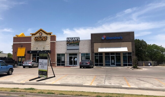

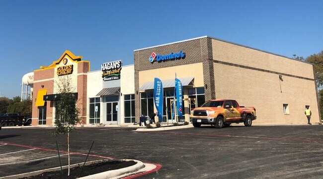
Property Detail
3601 N 19Th St
Waco, TX
COLLIER C R LOT 2 BLOCK 1 ACRES 1.004
48-011935-000200-0
McLennan
Commercialnec
Texas
B and X Area of moderate flood hazard, usually the area between the limits of the 100-year and 500-year floods.
2
2024
1 AC
2025
Waco
001300
Other Market Areas
6,230 SF
NEARBY LISTINGS FOR SALE OR LEASE
DEMOGRAPHICS near 3601 N 19Th St
1 mile
3 mile
5 mile
2024 Total Population
8,937
52,258
121,494
2029 Population
9,199
53,992
125,637
Pop Growth 2024-2029
+ 2.93%
+ 3.32%
+ 3.41%
Average Age
37
37
35
2024 Total Households
3,345
20,056
45,876
HH Growth 2024-2029
+ 2.81%
+ 3.29%
+ 3.49%
Median Household Inc
$46,351
$45,909
$44,629
Avg Household Size
2.50
2.50
2.40
2024 Avg HH Vehicles
2.00
2.00
2.00
Median Home Value
$188,340
$195,289
$189,891
Median Year Built
1960
1964
1972
Nearby Places
Map Layers
Map Styles
 Street
 Aerial
Transit
 Traffic
 Biking
Places
Listings with unknown addresses are not visible on the map
- Restaurants
- Banks
- Shops
- Fitness
- Groceries
PUBLIC TRANSPORTATION
AIRPORT
Waco Regional
Drive
Walk
Distance
Waco Regional
16 min
5.7 mi
Freight Ports
Port of Houston
Drive
Walk
Distance
Port of Houston
224 min
189.7 mi
SALE & LEASE HISTORY
LISTING DATE
SALE/LEASE

Oct 22, 2024
For Lease
Jul 24, 2019
For Sale
Jul 20, 2022
For Lease
Nearby Properties
Address
Land Use
TOTAL SIZE
Lot Size
Zoning
Address
Land Use
TOTAL SIZE
Lot Size
Zoning
452,498 SF
39.43 AC
C-2
Address
Land Use
TOTAL SIZE
Lot Size
Zoning
69,809 SF
8.12 AC
2007 TIF
Address
Land Use
TOTAL SIZE
Lot Size
Zoning
126,592 SF
5.05 AC
2007 TIF
Address
Land Use
TOTAL SIZE
Lot Size
Zoning
193,780 SF
14.12 AC
C
Address
Land Use
TOTAL SIZE
Lot Size
Zoning
214,351 SF
19.37 AC
R3B
Address
Land Use
TOTAL SIZE
Lot Size
Zoning
107,925 SF
2.20 AC
2007TIF
Address
Land Use
TOTAL SIZE
Lot Size
Zoning
206,113 SF
7.33 AC
2007TIF
Address
Land Use
TOTAL SIZE
Lot Size
Zoning
189,996 SF
13.98 AC
O2
Address
Land Use
TOTAL SIZE
Lot Size
Zoning
167,206 SF
11.22 AC
R-3C
Address
Land Use
TOTAL SIZE
Lot Size
Zoning
238,580 SF
12.25 AC
R-3E
Address
Land Use
TOTAL SIZE
Lot Size
Zoning
117,646 SF
3.88 AC
2007 TIF
Address
Land Use
TOTAL SIZE
Lot Size
Zoning
51,175 SF
9.48 AC
2007 TIF
Address
Land Use
TOTAL SIZE
Lot Size
Zoning
74,664 SF
3.55 AC
2007 TIF
Address
Land Use
TOTAL SIZE
Lot Size
Zoning
4.15 AC
2007 TIF
Address
Land Use
TOTAL SIZE
Lot Size
Zoning
205,184 SF
18.71 AC
R3D
Address
Land Use
TOTAL SIZE
Lot Size
Zoning
32,870 SF
100 AC
TIF3
Address
Land Use
TOTAL SIZE
Lot Size
Zoning
111,840 SF
38.94 AC
R1B
Address
Land Use
TOTAL SIZE
Lot Size
Zoning
158,050 SF
17.19 AC
R-2
Address
Land Use
TOTAL SIZE
Lot Size
Zoning
137,233 SF
3.51 AC
O2
Address
Land Use
TOTAL SIZE
Lot Size
Zoning
50,570 SF
6.25 AC
2007 TIF
Address
Land Use
TOTAL SIZE
Lot Size
Zoning
68,244 SF
2.39 AC
2007 TIF
Address
Land Use
TOTAL SIZE
Lot Size
Zoning
102,910 SF
6.38 AC
TIF2
Address
Land Use
TOTAL SIZE
Lot Size
Zoning
93,623 SF
4.26 AC
C2
Address
Land Use
TOTAL SIZE
Lot Size
Zoning
239,020 SF
38.81 AC
R1B
Address
Land Use
TOTAL SIZE
Lot Size
Zoning
107,383 SF
1.33 AC
2007 TIF
Address
Land Use
TOTAL SIZE
Lot Size
Zoning
226,099 SF
97.28 AC
Address
Land Use
TOTAL SIZE
Lot Size
Zoning
61,752 SF
3.68 AC
C2
Address
Land Use
TOTAL SIZE
Lot Size
Zoning
52,932 SF
2.83 AC
2007 TIF
Address
Land Use
TOTAL SIZE
Lot Size
Zoning
80,620 SF
1.61 AC
2007 TIF
Address
Land Use
TOTAL SIZE
Lot Size
Zoning
79,440 SF
0.97 AC
2007 TIF
The World's #1 Commercial Real Estate Marketplace
Connect with us
© 2026 CoStar Group
The information above has been obtained from sources believed reliable. While we do not doubt its accuracy we have not verified it and make no guarantee, warranty or representation about it. It is your responsibility to independently confirm its accuracy and completeness. Any projections, opinions, assumptions, or estimates used are for example only and do not represent the current or future performance of the property. The value of this transaction to you depends on tax and other factors which should be evaluated by your tax, financial, and legal advisors. You and your advisors should conduct a careful, independent investigation of the property to determine to your satisfaction the suitability of the property for your needs.