Property Record
3601 Faraon St, Saint Joseph, MO 64506


NEARBY LISTINGS FOR SALE OR LEASE
Property Detail
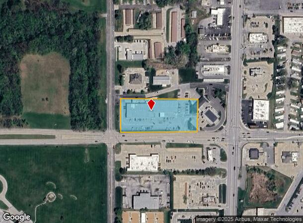
3601 Faraon St
St. Joseph, MO-KS
11-57-35NWSUB: LOT: BLK:LGL DESC:BEG AT X OF E R/W L 36TH ST & N R/W L FARAON ST PT BEING 25' N & 20' E OF SW COR OF 1/4 TH S 89 DEG 58' E ALG SD N R/W LINE 455.7' TH NELY PARL TO WLY R/W L BELT HWY N 2 DEG 16' 30 E 196.15' TH N 89 DEG 58' W 463.01'
06-1.0-11-002-000-046.000
Buchanan
Storebuilding
Missouri
2024
2 AC
2025
St Joseph
000701
Kansas City
22,920 SF
DEMOGRAPHICS near 3601 Faraon St
1 Mile
3 Mile
5 Mile
2024 Total Population
6,020
58,451
73,827
2029 Population
5,806
57,072
72,024
Pop Growth 2024-2029
(3.55%)
(2.36%)
(2.44%)
Average Age
40
39
40
2024 Total Households
2,299
23,551
29,621
HH Growth 2024-2029
(3.52%)
(2.38%)
(2.48%)
Median Household Inc
$46,195
$46,319
$49,818
Avg Household Size
2.20
2.30
2.30
2024 Avg HH Vehicles
2.00
2.00
2.00
Median Home Value
$147,368
$149,214
$151,452
Median Year Built
1962
1963
1964
Nearby Places
Map Layers
Map Styles
 Street
 Aerial
- Restaurants
- Banks
- Shops
- Fitness
- Groceries
SALE & LEASE HISTORY
LISTING DATE
SALE/LEASE

Sep 07, 2023
For Lease
Mar 31, 2017
For Lease
Jul 27, 2017
For Lease
Apr 09, 2018
For Lease
Nearby Properties
Address
Land Use
TOTAL SIZE
Lot Size
Zoning
Address
Land Use
TOTAL SIZE
Lot Size
Zoning
Address
Land Use
TOTAL SIZE
Lot Size
Zoning
140,200 SF
141.50 AC
CITY
Address
Land Use
TOTAL SIZE
Lot Size
Zoning
151,500 SF
38.50 AC
CITY
Address
Land Use
TOTAL SIZE
Lot Size
Zoning
146,880 SF
0.77 AC
Address
Land Use
TOTAL SIZE
Lot Size
Zoning
100,000 SF
53.47 AC
CITY
Address
Land Use
TOTAL SIZE
Lot Size
Zoning
39,440 SF
0.33 AC
CITY
Address
Land Use
TOTAL SIZE
Lot Size
Zoning
141,520 SF
Address
Land Use
TOTAL SIZE
Lot Size
Zoning
83,529 SF
15.74 AC
CITY
Address
Land Use
TOTAL SIZE
Lot Size
Zoning
145,704 SF
18.66 AC
CITY
Address
Land Use
TOTAL SIZE
Lot Size
Zoning
86,591 SF
42.87 AC
CITY
Address
Land Use
TOTAL SIZE
Lot Size
Zoning
85,350 SF
Address
Land Use
TOTAL SIZE
Lot Size
Zoning
76,795 SF
13.55 AC
CITY
Address
Land Use
TOTAL SIZE
Lot Size
Zoning
Address
Land Use
TOTAL SIZE
Lot Size
Zoning
54,000 SF
Address
Land Use
TOTAL SIZE
Lot Size
Zoning
85,436 SF
1.40 AC
CITY
Address
Land Use
TOTAL SIZE
Lot Size
Zoning
30,864 SF
79.61 AC
CITY
Address
Land Use
TOTAL SIZE
Lot Size
Zoning
193,072 SF
11.90 AC
CITY
Address
Land Use
TOTAL SIZE
Lot Size
Zoning
63,996 SF
1.70 AC
CITY
Address
Land Use
TOTAL SIZE
Lot Size
Zoning
56,750 SF
1.70 AC
CITY
Address
Land Use
TOTAL SIZE
Lot Size
Zoning
54,704 SF
1.40 AC
CITY
Address
Land Use
TOTAL SIZE
Lot Size
Zoning
55,216 SF
9.75 AC
CITY
Address
Land Use
TOTAL SIZE
Lot Size
Zoning
89,263 SF
12.58 AC
CITY
Address
Land Use
TOTAL SIZE
Lot Size
Zoning
108,284 SF
1.70 AC
CITY
Address
Land Use
TOTAL SIZE
Lot Size
Zoning
78,536 SF
21.60 AC
CITY
Address
Land Use
TOTAL SIZE
Lot Size
Zoning
80,978 SF
30.43 AC
CITY
Address
Land Use
TOTAL SIZE
Lot Size
Zoning
37,100 SF
17.24 AC
CITY
Address
Land Use
TOTAL SIZE
Lot Size
Zoning
383,764 SF
7 AC
CITY
Address
Land Use
TOTAL SIZE
Lot Size
Zoning
35,000 SF
5.31 AC
CITY
Address
Land Use
TOTAL SIZE
Lot Size
Zoning
351,550 SF
40.07 AC
CITY
Address
Land Use
TOTAL SIZE
Lot Size
Zoning
33,020 SF
10.11 AC
CITY
The World's #1 Commercial Real Estate Marketplace
Connect with us
© 2026 CoStar Group
The information above has been obtained from sources believed reliable. While we do not doubt its accuracy we have not verified it and make no guarantee, warranty or representation about it. It is your responsibility to independently confirm its accuracy and completeness. Any projections, opinions, assumptions, or estimates used are for example only and do not represent the current or future performance of the property. The value of this transaction to you depends on tax and other factors which should be evaluated by your tax, financial, and legal advisors. You and your advisors should conduct a careful, independent investigation of the property to determine to your satisfaction the suitability of the property for your needs.