Property Record
3642 W 128Th Pl, Alsip, IL 60803


Save to a Folder
{{folder.Name}}
{{folder.ListingIds.length}} Properties
{{folder.ListingIds.length}} Property
Create a New Folder
Property Detail
3642 W 128Th Pl
Chicago-Naperville-Elgin, IL-IN
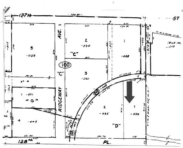
(ALSIP) (INDUSTRIAL) PARK (UNIT2) SUB OF PT NH NW SEC 35-37-13
24-35-100-034-0000
Cook
Industrialgeneral
Illinois
A Areas with a 1% annual chance of flooding and a 26% chance of flooding over the life of a 30-year mortgage.
1
2023
1.51 AC
2025
Near South Cook
823302
Chicago
21,410 SF
NEARBY LISTINGS FOR SALE OR LEASE
DEMOGRAPHICS near 3642 W 128Th Pl
1 mile
3 mile
5 mile
2025 Total Population
7,031
129,029
358,299
2030 Population
7,162
131,480
363,962
Pop Growth 2025-2030
+ 1.86%
+ 1.90%
+ 1.58%
Average Age
41
41
41
2025 Total Households
2,846
49,480
135,071
HH Growth 2025-2030
+ 1.34%
+ 1.84%
+ 1.41%
Median Household Inc
$59,860
$71,785
$71,722
Avg Household Size
2.40
2.50
2.60
2025 Avg HH Vehicles
2.00
2.00
2.00
Median Home Value
$176,437
$225,220
$231,288
Median Year Built
1974
1965
1961
Nearby Places
Map Layers
Map Styles
 Street
 Aerial
Layers
 Traffic
 Biking
Places
Listings with unknown addresses are not visible on the map
- Restaurants
- Banks
- Shops
- Fitness
- Groceries
PUBLIC TRANSPORTATION
COMMUTER RAIL
Robbins (Rock Island - Metra)
Drive
Walk
Distance
Robbins (Rock Island - Metra)
6 min
2.7 mi
Blue Island-Vermont (Rock Island - Metra)
Drive
Walk
Distance
Blue Island-Vermont (Rock Island - Metra)
6 min
2.8 mi
AIRPORT
Chicago Midway International
Drive
Walk
Distance
Chicago Midway International
20 min
11.3 mi
Chicago O'Hare International
Drive
Walk
Distance
Chicago O'Hare International
46 min
33.3 mi
Freight Ports
Port Milwaukee
Drive
Walk
Distance
Port Milwaukee
127 min
105.1 mi
Nearby Properties
Address
Land Use
TOTAL SIZE
Lot Size
Zoning
Address
Land Use
TOTAL SIZE
Lot Size
Zoning
307,335 SF
24.17 AC
PD 770
Address
Land Use
TOTAL SIZE
Lot Size
Zoning
48,792 SF
8.71 AC
RT-4
Address
Land Use
TOTAL SIZE
Lot Size
Zoning
63,930 SF
3.49 AC
PD 181
Address
Land Use
TOTAL SIZE
Lot Size
Zoning
495,815 SF
20.78 AC
Address
Land Use
TOTAL SIZE
Lot Size
Zoning
101,169 SF
13.07 AC
Address
Land Use
TOTAL SIZE
Lot Size
Zoning
Address
Land Use
TOTAL SIZE
Lot Size
Zoning
83,005 SF
Address
Land Use
TOTAL SIZE
Lot Size
Zoning
380,924 SF
19.13 AC
Address
Land Use
TOTAL SIZE
Lot Size
Zoning
421,052 SF
26.15 AC
Address
Land Use
TOTAL SIZE
Lot Size
Zoning
510,332 SF
23.97 AC
Address
Land Use
TOTAL SIZE
Lot Size
Zoning
5.66 AC
Address
Land Use
TOTAL SIZE
Lot Size
Zoning
152,306 SF
13.40 AC
Address
Land Use
TOTAL SIZE
Lot Size
Zoning
129,837 SF
10.44 AC
PD 770
Address
Land Use
TOTAL SIZE
Lot Size
Zoning
185,748 SF
15.30 AC
Address
Land Use
TOTAL SIZE
Lot Size
Zoning
405,045 SF
14.49 AC
Address
Land Use
TOTAL SIZE
Lot Size
Zoning
113,963 SF
10.55 AC
Address
Land Use
TOTAL SIZE
Lot Size
Zoning
Address
Land Use
TOTAL SIZE
Lot Size
Zoning
Address
Land Use
TOTAL SIZE
Lot Size
Zoning
320,038 SF
13.04 AC
Address
Land Use
TOTAL SIZE
Lot Size
Zoning
283,947 SF
13.27 AC
Address
Land Use
TOTAL SIZE
Lot Size
Zoning
98,506 SF
7.66 AC
Address
Land Use
TOTAL SIZE
Lot Size
Zoning
100,496 SF
9.96 AC
Address
Land Use
TOTAL SIZE
Lot Size
Zoning
171,624 SF
23.56 AC
Address
Land Use
TOTAL SIZE
Lot Size
Zoning
0.98 AC
Address
Land Use
TOTAL SIZE
Lot Size
Zoning
105,150 SF
4 AC
Address
Land Use
TOTAL SIZE
Lot Size
Zoning
67,488 SF
10 AC
Address
Land Use
TOTAL SIZE
Lot Size
Zoning
261,520 SF
13.59 AC
Address
Land Use
TOTAL SIZE
Lot Size
Zoning
107,313 SF
10.07 AC
Address
Land Use
TOTAL SIZE
Lot Size
Zoning
567,900 SF
15.07 AC
Address
Land Use
TOTAL SIZE
Lot Size
Zoning
25,873 SF
17.14 AC
The World's #1 Commercial Real Estate Marketplace
Connect with us
© 2026 CoStar Group
The information above has been obtained from sources believed reliable. While we do not doubt its accuracy we have not verified it and make no guarantee, warranty or representation about it. It is your responsibility to independently confirm its accuracy and completeness. Any projections, opinions, assumptions, or estimates used are for example only and do not represent the current or future performance of the property. The value of this transaction to you depends on tax and other factors which should be evaluated by your tax, financial, and legal advisors. You and your advisors should conduct a careful, independent investigation of the property to determine to your satisfaction the suitability of the property for your needs.