Property Record
3655 Banks Rd, Raleigh, NC 27603

NEARBY LISTINGS FOR SALE OR LEASE
Property Detail
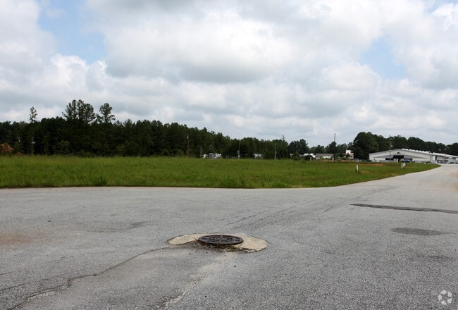
3655 Banks Rd
Raleigh-Cary, NC
Rights Of Way Abandonment Recombination
0688.02-55-5917-000
LO1 RCMB PC CONSTRUCTION COMPANY BM2016-
Officebuilding
Wake
X
North Carolina
3720068800K
1
0
2.53 AC
2025
Southeast Wake County
053009
Raleigh/Durham
9,008 SF
DEMOGRAPHICS near 3655 Banks Rd
1 Mile
3 Mile
5 Mile
2024 Total Population
2,342
25,910
74,673
2029 Population
2,576
28,395
81,514
Pop Growth 2024-2029
+ 9.99%
+ 9.59%
+ 9.16%
Average Age
38
39
40
2024 Total Households
811
9,026
26,250
HH Growth 2024-2029
+ 9.86%
+ 9.59%
+ 9.17%
Median Household Inc
$81,855
$108,676
$107,721
Avg Household Size
2.80
2.80
2.80
2024 Avg HH Vehicles
2.00
2.00
2.00
Median Home Value
$361,025
$380,283
$375,479
Median Year Built
1995
2001
2002
Nearby Places
Map Layers
Map Styles
 Street
 Aerial
- Restaurants
- Banks
- Shops
- Fitness
- Groceries
PUBLIC TRANSPORTATION
AIRPORT
Raleigh-Durham International
DRIVE
WALK
Distance
Raleigh-Durham International
35 min
22.8 mi
Freight Ports
Port of Wilmington
DRIVE
WALK
Distance
Port of Wilmington
151 min
126.6 mi
Nearby Properties
Address
Land Use
TOTAL SIZE
Lot Size
Zoning
Address
Land Use
TOTAL SIZE
Lot Size
Zoning
613,933 SF
70.87 AC
O&I
Address
Land Use
TOTAL SIZE
Lot Size
Zoning
437,984 SF
41.15 AC
MF-A
Address
Land Use
TOTAL SIZE
Lot Size
Zoning
242,744 SF
18.37 AC
MF-B
Address
Land Use
TOTAL SIZE
Lot Size
Zoning
204,854 SF
17.28 AC
RMD
Address
Land Use
TOTAL SIZE
Lot Size
Zoning
125,079 SF
15.15 AC
OI-CZ
Address
Land Use
TOTAL SIZE
Lot Size
Zoning
79,799 SF
25.53 AC
OI-CZ
Address
Land Use
TOTAL SIZE
Lot Size
Zoning
105,035 SF
17.52 AC
O&I
Address
Land Use
TOTAL SIZE
Lot Size
Zoning
286,635 SF
8.90 AC
CC
Address
Land Use
TOTAL SIZE
Lot Size
Zoning
160,693 SF
23.85 AC
CMX-C
Address
Land Use
TOTAL SIZE
Lot Size
Zoning
83,283 SF
14.79 AC
GC
Address
Land Use
TOTAL SIZE
Lot Size
Zoning
36,188 SF
118.11 AC
R40
Address
Land Use
TOTAL SIZE
Lot Size
Zoning
30,043 SF
12.77 AC
GC
Address
Land Use
TOTAL SIZE
Lot Size
Zoning
55,347 SF
3.39 AC
O&I
Address
Land Use
TOTAL SIZE
Lot Size
Zoning
129,506 SF
2.72 AC
NMU
Address
Land Use
TOTAL SIZE
Lot Size
Zoning
69,135 SF
13.58 AC
RA
Address
Land Use
TOTAL SIZE
Lot Size
Zoning
69,518 SF
9.45 AC
GC
Address
Land Use
TOTAL SIZE
Lot Size
Zoning
1,120 SF
224.11 AC
RA
Address
Land Use
TOTAL SIZE
Lot Size
Zoning
28,485 SF
6.91 AC
GC
Address
Land Use
TOTAL SIZE
Lot Size
Zoning
62,826 SF
16.92 AC
R-30
Address
Land Use
TOTAL SIZE
Lot Size
Zoning
58,911 SF
8.47 AC
CMX-C
Address
Land Use
TOTAL SIZE
Lot Size
Zoning
73,800 SF
3.11 AC
RLI-C
Address
Land Use
TOTAL SIZE
Lot Size
Zoning
121,245 SF
5.91 AC
NMU
Address
Land Use
TOTAL SIZE
Lot Size
Zoning
38,367 SF
13.10 AC
GC
Address
Land Use
TOTAL SIZE
Lot Size
Zoning
10,638 SF
4.69 AC
CC
Address
Land Use
TOTAL SIZE
Lot Size
Zoning
858 SF
104 AC
RA
Address
Land Use
TOTAL SIZE
Lot Size
Zoning
47.13 AC
CC
Address
Land Use
TOTAL SIZE
Lot Size
Zoning
53,340 SF
23.14 AC
RLI
Address
Land Use
TOTAL SIZE
Lot Size
Zoning
30,408 SF
7.31 AC
GC
Address
Land Use
TOTAL SIZE
Lot Size
Zoning
23,724 SF
5.19 AC
MF-A
Address
Land Use
TOTAL SIZE
Lot Size
Zoning
67,970 SF
6.18 AC
RLI
The World's #1 Commercial Real Estate Marketplace
Connect with us
© 2026 CoStar Group
The information above has been obtained from sources believed reliable. While we do not doubt its accuracy we have not verified it and make no guarantee, warranty or representation about it. It is your responsibility to independently confirm its accuracy and completeness. Any projections, opinions, assumptions, or estimates used are for example only and do not represent the current or future performance of the property. The value of this transaction to you depends on tax and other factors which should be evaluated by your tax, financial, and legal advisors. You and your advisors should conduct a careful, independent investigation of the property to determine to your satisfaction the suitability of the property for your needs.