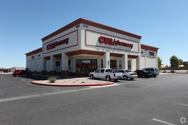
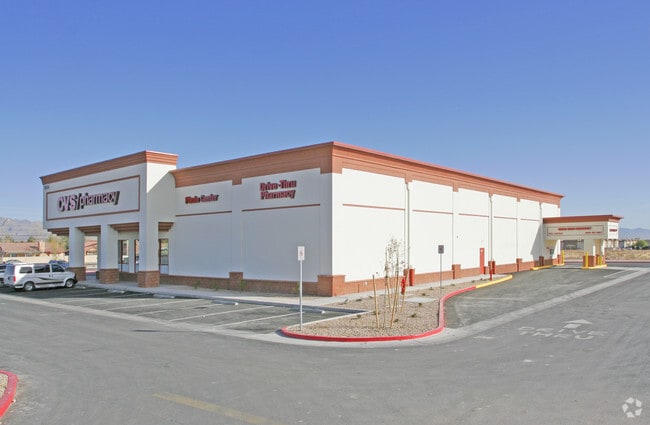
Property Record
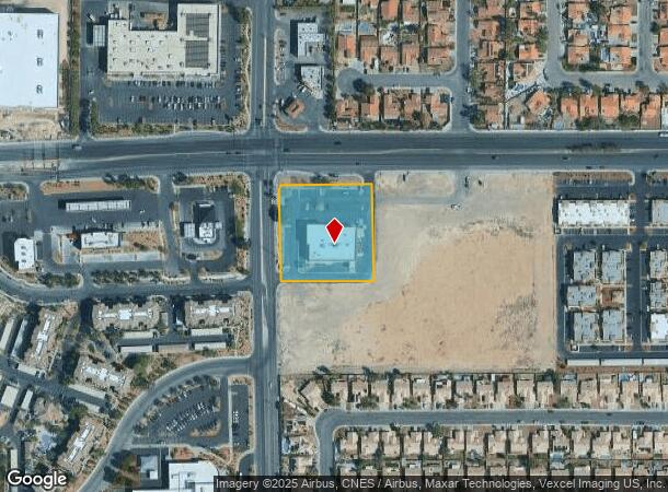
3655 W Craig Rd, North Las Vegas, NV 89032
NEARBY LISTINGS FOR SALE OR LEASE
Property Detail
3655 W Craig Rd
Las Vegas-Henderson-Paradise, NV
Parcel Map File 109 Page 33
139-05-301-006
PARCEL MAP FILE 109 PAGE 33 LOT 1
Storebuilding
Clark
X
Nevada
32003C2155F
1
2025
1.74 AC
2025
North Las Vegas
003610
Las Vegas
16,268 SF
DEMOGRAPHICS near 3655 W Craig Rd
1 Mile
3 Mile
5 Mile
2024 Total Population
19,377
165,397
441,860
2029 Population
20,670
177,043
474,662
Pop Growth 2024-2029
+ 6.67%
+ 7.04%
+ 7.42%
Average Age
39
38
38
2024 Total Households
6,547
55,670
149,819
HH Growth 2024-2029
+ 6.63%
+ 6.99%
+ 7.40%
Median Household Inc
$69,407
$67,172
$61,331
Avg Household Size
2.90
2.90
2.90
2024 Avg HH Vehicles
2.00
2.00
2.00
Median Home Value
$310,128
$330,591
$332,722
Median Year Built
1996
1997
1996
Nearby Places
Map Layers
Map Styles
 Street
 Aerial
- Restaurants
- Banks
- Shops
- Fitness
- Groceries
PUBLIC TRANSPORTATION
AIRPORT
Harry Reid International
DRIVE
WALK
Distance
Harry Reid International
26 min
14.0 mi
Boulder City Municipal
DRIVE
WALK
Distance
Boulder City Municipal
45 min
33.1 mi
Nearby Properties
Address
Land Use
TOTAL SIZE
Lot Size
Zoning
Address
Land Use
TOTAL SIZE
Lot Size
Zoning
724,845 SF
37.33 AC
M2
Address
Land Use
TOTAL SIZE
Lot Size
Zoning
9,738 SF
20.40 AC
Address
Land Use
TOTAL SIZE
Lot Size
Zoning
602,356 SF
23.37 AC
R3
Address
Land Use
TOTAL SIZE
Lot Size
Zoning
51.45 AC
R1
Address
Land Use
TOTAL SIZE
Lot Size
Zoning
7,724 SF
108.84 AC
R1
Address
Land Use
TOTAL SIZE
Lot Size
Zoning
35.49 AC
R1
Address
Land Use
TOTAL SIZE
Lot Size
Zoning
390,851 SF
48.43 AC
PUD
Address
Land Use
TOTAL SIZE
Lot Size
Zoning
36.24 AC
M2
Address
Land Use
TOTAL SIZE
Lot Size
Zoning
346,277 SF
37.61 AC
PUD
Address
Land Use
TOTAL SIZE
Lot Size
Zoning
378,212 SF
6.38 AC
Address
Land Use
TOTAL SIZE
Lot Size
Zoning
3,518 SF
11.95 AC
Address
Land Use
TOTAL SIZE
Lot Size
Zoning
407,991 SF
26.52 AC
M2
Address
Land Use
TOTAL SIZE
Lot Size
Zoning
445,206 SF
24.81 AC
M2
Address
Land Use
TOTAL SIZE
Lot Size
Zoning
7,704 SF
22.18 AC
N:PUD
Address
Land Use
TOTAL SIZE
Lot Size
Zoning
11.72 AC
R2
Address
Land Use
TOTAL SIZE
Lot Size
Zoning
17.80 AC
M2
Address
Land Use
TOTAL SIZE
Lot Size
Zoning
7,234 SF
9.21 AC
Address
Land Use
TOTAL SIZE
Lot Size
Zoning
1,883 SF
18.13 AC
C2
Address
Land Use
TOTAL SIZE
Lot Size
Zoning
40,434 SF
25.46 AC
C3
Address
Land Use
TOTAL SIZE
Lot Size
Zoning
86,946 SF
162.05 AC
M2
Address
Land Use
TOTAL SIZE
Lot Size
Zoning
340,704 SF
5.37 AC
Address
Land Use
TOTAL SIZE
Lot Size
Zoning
17.97 AC
RE
Address
Land Use
TOTAL SIZE
Lot Size
Zoning
3,646 SF
10.36 AC
PUD
Address
Land Use
TOTAL SIZE
Lot Size
Zoning
Address
Land Use
TOTAL SIZE
Lot Size
Zoning
129,339 SF
13.43 AC
C2
The World's #1 Commercial Real Estate Marketplace
Connect with us
© 2025 CoStar Group
The information above has been obtained from sources believed reliable. While we do not doubt its accuracy we have not verified it and make no guarantee, warranty or representation about it. It is your responsibility to independently confirm its accuracy and completeness. Any projections, opinions, assumptions, or estimates used are for example only and do not represent the current or future performance of the property. The value of this transaction to you depends on tax and other factors which should be evaluated by your tax, financial, and legal advisors. You and your advisors should conduct a careful, independent investigation of the property to determine to your satisfaction the suitability of the property for your needs.