Property Record
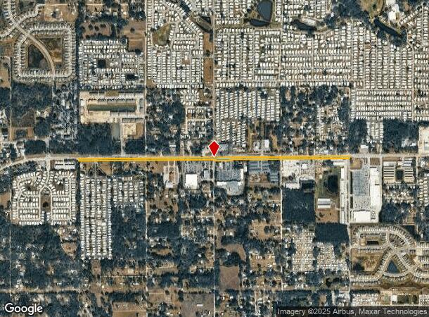
36638 State Road 54, Zephyrhills, FL 33541

NEARBY LISTINGS FOR SALE OR LEASE
Property Detail
36638 State Road 54
Tampa-St. Petersburg-Clearwater, FL
Right Of Way
16-26-21-0000-49900-0000
SR 54 IN NORTH 1/2 OF SECTION 16 OR 1579 PG 1693
Countyproperty
Pasco
X
Florida
12101C0452F
5.38 AC
0
Pasco County
2025
Tampa/St Petersburg
033011
DEMOGRAPHICS near 36638 State Road 54
1 Mile
3 Mile
5 Mile
2024 Total Population
7,262
39,222
104,188
2029 Population
8,894
48,113
127,444
Pop Growth 2024-2029
+ 22.47%
+ 22.67%
+ 22.32%
Average Age
52
46
43
2024 Total Households
3,366
16,236
41,404
HH Growth 2024-2029
+ 22.40%
+ 22.59%
+ 22.26%
Median Household Inc
$47,060
$53,872
$58,995
Avg Household Size
2.10
2.40
2.50
2024 Avg HH Vehicles
1.00
2.00
2.00
Median Home Value
$87,045
$191,721
$220,541
Median Year Built
1993
1994
1997
Nearby Places
Map Layers
Map Styles
 Street
 Aerial
- Restaurants
- Banks
- Shops
- Fitness
- Groceries
PUBLIC TRANSPORTATION
AIRPORT
Tampa International
DRIVE
WALK
Distance
Tampa International
53 min
38.7 mi
Freight Ports
Port of Tampa Bay
DRIVE
WALK
Distance
Port of Tampa Bay
48 min
31.4 mi
Nearby Properties
Address
Land Use
TOTAL SIZE
Lot Size
Zoning
Address
Land Use
TOTAL SIZE
Lot Size
Zoning
277,779 SF
18.93 AC
MPUD
Address
Land Use
TOTAL SIZE
Lot Size
Zoning
253,292 SF
22.26 AC
MPUD
Address
Land Use
TOTAL SIZE
Lot Size
Zoning
309,662 SF
59.03 AC
MF1
Address
Land Use
TOTAL SIZE
Lot Size
Zoning
252,942 SF
13.59 AC
MPUD
Address
Land Use
TOTAL SIZE
Lot Size
Zoning
245,602 SF
12.57 AC
MPUD
Address
Land Use
TOTAL SIZE
Lot Size
Zoning
352,321 SF
27.88 AC
OP
Address
Land Use
TOTAL SIZE
Lot Size
Zoning
610,631 SF
45.79 AC
LI
Address
Land Use
TOTAL SIZE
Lot Size
Zoning
199,367 SF
15.46 AC
R2
Address
Land Use
TOTAL SIZE
Lot Size
Zoning
162,278 SF
118.82 AC
AP2
Address
Land Use
TOTAL SIZE
Lot Size
Zoning
129,416 SF
3.87 AC
C2
Address
Land Use
TOTAL SIZE
Lot Size
Zoning
292,589 SF
52.57 AC
R3
Address
Land Use
TOTAL SIZE
Lot Size
Zoning
33.29 AC
MPUD
Address
Land Use
TOTAL SIZE
Lot Size
Zoning
88,782 SF
4.09 AC
M1
Address
Land Use
TOTAL SIZE
Lot Size
Zoning
91,192 SF
3.40 AC
C2
Address
Land Use
TOTAL SIZE
Lot Size
Zoning
11,189 SF
34.32 AC
C2
Address
Land Use
TOTAL SIZE
Lot Size
Zoning
68,446 SF
3.54 AC
C2
Address
Land Use
TOTAL SIZE
Lot Size
Zoning
82,605 SF
37.03 AC
AR
Address
Land Use
TOTAL SIZE
Lot Size
Zoning
69,405 SF
2.15 AC
MPUD
Address
Land Use
TOTAL SIZE
Lot Size
Zoning
101.06 AC
MPUD
Address
Land Use
TOTAL SIZE
Lot Size
Zoning
60,759 SF
7.56 AC
C2
Address
Land Use
TOTAL SIZE
Lot Size
Zoning
104,720 SF
13.22 AC
C2
Address
Land Use
TOTAL SIZE
Lot Size
Zoning
32,076 SF
3.58 AC
PUD
Address
Land Use
TOTAL SIZE
Lot Size
Zoning
64,769 SF
11.78 AC
C2
Address
Land Use
TOTAL SIZE
Lot Size
Zoning
107,022 SF
13.27 AC
C2
Address
Land Use
TOTAL SIZE
Lot Size
Zoning
94,412 SF
9.67 AC
C2
Address
Land Use
TOTAL SIZE
Lot Size
Zoning
62,320 SF
8.13 AC
R4
Address
Land Use
TOTAL SIZE
Lot Size
Zoning
76,015 SF
9.18 AC
C2
Address
Land Use
TOTAL SIZE
Lot Size
Zoning
61,636 SF
6.84 AC
C2
Address
Land Use
TOTAL SIZE
Lot Size
Zoning
38,397 SF
7.18 AC
C2
Address
Land Use
TOTAL SIZE
Lot Size
Zoning
131,274 SF
13.07 AC
R4
The World's #1 Commercial Real Estate Marketplace
Connect with us
© 2025 CoStar Group
The information above has been obtained from sources believed reliable. While we do not doubt its accuracy we have not verified it and make no guarantee, warranty or representation about it. It is your responsibility to independently confirm its accuracy and completeness. Any projections, opinions, assumptions, or estimates used are for example only and do not represent the current or future performance of the property. The value of this transaction to you depends on tax and other factors which should be evaluated by your tax, financial, and legal advisors. You and your advisors should conduct a careful, independent investigation of the property to determine to your satisfaction the suitability of the property for your needs.