Property Record
3700 Wrangle Hill Rd, Bear, DE 19701
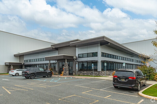

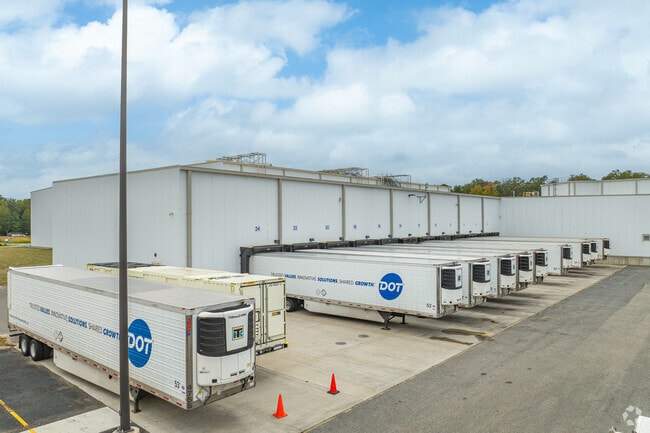
Property Detail
3700 Wrangle Hill Rd
12-012.00-307
NEW CASTLE
Industrialgeneral
Delaware
I
k
B and X Area of moderate flood hazard, usually the area between the limits of the 100-year and 500-year floods.
4.19 AC
2025
New Castle County
2025
Philadelphia
016401
Philadelphia-Camden-Wilmington, PA-NJ-DE-MD
NEARBY LISTINGS FOR SALE OR LEASE
DEMOGRAPHICS near 3700 Wrangle Hill Rd
1 mile
3 mile
5 mile
2025 Total Population
3,808
39,346
107,619
2030 Population
3,886
40,292
111,102
Pop Growth 2025-2030
+ 2.05%
+ 2.40%
+ 3.24%
Average Age
44
41
40
2025 Total Households
1,316
14,388
39,845
HH Growth 2025-2030
+ 2.20%
+ 2.59%
+ 3.48%
Median Household Inc
$126,949
$99,833
$96,740
Avg Household Size
2.70
2.70
2.70
2025 Avg HH Vehicles
2.00
2.00
2.00
Median Home Value
$415,812
$365,873
$368,065
Median Year Built
1999
1994
1993
Nearby Places
Map Layers
Map Styles
 Street
 Aerial
Transit
 Traffic
 Biking
Places
Listings with unknown addresses are not visible on the map
- Restaurants
- Banks
- Shops
- Fitness
- Groceries
PUBLIC TRANSPORTATION
COMMUTER RAIL
Newark (R2 - Southeastern Pennsylvania Transportation Authority Regional Rail (SEPTA Regional Rail))
Drive
Walk
Distance
Newark (R2 - Southeastern Pennsylvania Transportation Authority Regional Rail (SEPTA Regional Rail))
12 min
8.2 mi
Freight Ports
Port of Wilmington, RI
Drive
Walk
Distance
Port of Wilmington, RI
23 min
16.9 mi
Nearby Properties
Address
Land Use
TOTAL SIZE
Lot Size
Zoning
Address
Land Use
TOTAL SIZE
Lot Size
Zoning
1,003,632 SF
70.39 AC
HI
Address
Land Use
TOTAL SIZE
Lot Size
Zoning
44,512 SF
370.29 AC
HI
Address
Land Use
TOTAL SIZE
Lot Size
Zoning
Address
Land Use
TOTAL SIZE
Lot Size
Zoning
4,676 SF
42.81 AC
NCAP
Address
Land Use
TOTAL SIZE
Lot Size
Zoning
259,722 SF
20.72 AC
NCAP
Address
Land Use
TOTAL SIZE
Lot Size
Zoning
802.83 AC
HI
Address
Land Use
TOTAL SIZE
Lot Size
Zoning
343,216 SF
27.10 AC
ST
Address
Land Use
TOTAL SIZE
Lot Size
Zoning
594,720 SF
33.32 AC
HI
Address
Land Use
TOTAL SIZE
Lot Size
Zoning
293,376 SF
149.74 AC
I
Address
Land Use
TOTAL SIZE
Lot Size
Zoning
152,860 SF
49.01 AC
CR
Address
Land Use
TOTAL SIZE
Lot Size
Zoning
Address
Land Use
TOTAL SIZE
Lot Size
Zoning
18,101 SF
8.91 AC
NCAP
Address
Land Use
TOTAL SIZE
Lot Size
Zoning
91,473 SF
59.44 AC
S
Address
Land Use
TOTAL SIZE
Lot Size
Zoning
11,362 SF
36.39 AC
I
Address
Land Use
TOTAL SIZE
Lot Size
Zoning
218,883 SF
42.56 AC
HI
Address
Land Use
TOTAL SIZE
Lot Size
Zoning
62,054 SF
37.38 AC
S
Address
Land Use
TOTAL SIZE
Lot Size
Zoning
7,640 SF
60.67 AC
S
Address
Land Use
TOTAL SIZE
Lot Size
Zoning
132,816 SF
7.11 AC
NCPUD
Address
Land Use
TOTAL SIZE
Lot Size
Zoning
206,062 SF
23.30 AC
HI
Address
Land Use
TOTAL SIZE
Lot Size
Zoning
5,166 SF
7.57 AC
NCAP
Address
Land Use
TOTAL SIZE
Lot Size
Zoning
11,671 SF
27.80 AC
ST
Address
Land Use
TOTAL SIZE
Lot Size
Zoning
Address
Land Use
TOTAL SIZE
Lot Size
Zoning
66.14 AC
S
Address
Land Use
TOTAL SIZE
Lot Size
Zoning
151,156 SF
14.93 AC
CR
Address
Land Use
TOTAL SIZE
Lot Size
Zoning
1,092 SF
50.89 AC
HI
Address
Land Use
TOTAL SIZE
Lot Size
Zoning
172,812 SF
23.75 AC
HI
Address
Land Use
TOTAL SIZE
Lot Size
Zoning
118,524 SF
4.66 AC
NCPUD
Address
Land Use
TOTAL SIZE
Lot Size
Zoning
1,972 SF
31.78 AC
I
Address
Land Use
TOTAL SIZE
Lot Size
Zoning
314.17 AC
S
Address
Land Use
TOTAL SIZE
Lot Size
Zoning
208,980 SF
16.56 AC
NCPUD
The World's #1 Commercial Real Estate Marketplace
Connect with us
© 2026 CoStar Group
The information above has been obtained from sources believed reliable. While we do not doubt its accuracy we have not verified it and make no guarantee, warranty or representation about it. It is your responsibility to independently confirm its accuracy and completeness. Any projections, opinions, assumptions, or estimates used are for example only and do not represent the current or future performance of the property. The value of this transaction to you depends on tax and other factors which should be evaluated by your tax, financial, and legal advisors. You and your advisors should conduct a careful, independent investigation of the property to determine to your satisfaction the suitability of the property for your needs.