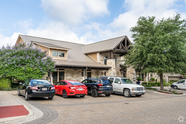
Property Record
3701 Quick Hill Rd, Austin, TX 78728


Property Detail
3701 Quick Hill Rd
Austin-Round Rock-San Marcos, TX
S9512 - TRAVESIA SEC 1, BLOCK B, LOT 1, ACRES 19.4
R489787
Williamson
Multifamilydwelling
Texas
AE The base floodplain where base flood elevations are provided. AE Zones are now used on new format FIRMs instead of A1-A30 Zones.
1
2024
19.40 AC
2025
Wells Branch
020513
Austin
344,286 SF
NEARBY LISTINGS FOR SALE OR LEASE
-
-
View all Austin listings for sale on LoopNet.com
DEMOGRAPHICS near 3701 Quick Hill Rd
1 mile
3 mile
5 mile
2025 Total Population
13,599
80,454
287,218
2030 Population
15,009
86,940
311,458
Pop Growth 2025-2030
+ 10.37%
+ 8.06%
+ 8.44%
Average Age
35
37
37
2025 Total Households
6,353
34,494
115,320
HH Growth 2025-2030
+ 11.92%
+ 8.71%
+ 8.76%
Median Household Inc
$83,254
$80,745
$95,366
Avg Household Size
2.10
2.30
2.40
2025 Avg HH Vehicles
2.00
2.00
2.00
Median Home Value
$438,306
$391,780
$441,250
Median Year Built
2005
1997
1998
Nearby Places
Map Layers
Map Styles
 Street
 Aerial
Transit
 Traffic
 Biking
Places
Listings with unknown addresses are not visible on the map
- Restaurants
- Banks
- Shops
- Fitness
- Groceries
PUBLIC TRANSPORTATION
AIRPORT
Austin-Bergstrom International
Drive
Walk
Distance
Austin-Bergstrom International
40 min
26.4 mi
Freight Ports
Calhoun Port
Drive
Walk
Distance
Calhoun Port
202 min
176.4 mi
Nearby Properties
Address
Land Use
TOTAL SIZE
Lot Size
Zoning
Address
Land Use
TOTAL SIZE
Lot Size
Zoning
2,089,779 SF
167.49 AC
Address
Land Use
TOTAL SIZE
Lot Size
Zoning
956,707 SF
71.90 AC
C1
Address
Land Use
TOTAL SIZE
Lot Size
Zoning
462,651 SF
81.77 AC
Address
Land Use
TOTAL SIZE
Lot Size
Zoning
536,741 SF
80.32 AC
SF2
Address
Land Use
TOTAL SIZE
Lot Size
Zoning
757,866 SF
33.21 AC
Address
Land Use
TOTAL SIZE
Lot Size
Zoning
485,021 SF
50.17 AC
C1
Address
Land Use
TOTAL SIZE
Lot Size
Zoning
428,011 SF
25 AC
Address
Land Use
TOTAL SIZE
Lot Size
Zoning
565,886 SF
29.30 AC
Address
Land Use
TOTAL SIZE
Lot Size
Zoning
466,256 SF
38.33 AC
Address
Land Use
TOTAL SIZE
Lot Size
Zoning
475,034 SF
26.37 AC
Address
Land Use
TOTAL SIZE
Lot Size
Zoning
284,625 SF
11.25 AC
Address
Land Use
TOTAL SIZE
Lot Size
Zoning
543,958 SF
60.19 AC
Address
Land Use
TOTAL SIZE
Lot Size
Zoning
349,128 SF
17.89 AC
Address
Land Use
TOTAL SIZE
Lot Size
Zoning
470,992 SF
25.92 AC
Address
Land Use
TOTAL SIZE
Lot Size
Zoning
323,284 SF
14.21 AC
Address
Land Use
TOTAL SIZE
Lot Size
Zoning
295,750 SF
21.46 AC
Address
Land Use
TOTAL SIZE
Lot Size
Zoning
280,279 SF
10.38 AC
Address
Land Use
TOTAL SIZE
Lot Size
Zoning
362,216 SF
19.72 AC
Address
Land Use
TOTAL SIZE
Lot Size
Zoning
618,605 SF
14.11 AC
PUD
Address
Land Use
TOTAL SIZE
Lot Size
Zoning
326,015 SF
11.11 AC
Address
Land Use
TOTAL SIZE
Lot Size
Zoning
477,454 SF
22.28 AC
Address
Land Use
TOTAL SIZE
Lot Size
Zoning
332,752 SF
10.30 AC
Address
Land Use
TOTAL SIZE
Lot Size
Zoning
140,409 SF
17.15 AC
Address
Land Use
TOTAL SIZE
Lot Size
Zoning
306,387 SF
14.63 AC
Address
Land Use
TOTAL SIZE
Lot Size
Zoning
216,198 SF
9.47 AC
Address
Land Use
TOTAL SIZE
Lot Size
Zoning
673,809 SF
9.03 AC
PUD
Address
Land Use
TOTAL SIZE
Lot Size
Zoning
305,148 SF
16.41 AC
Address
Land Use
TOTAL SIZE
Lot Size
Zoning
379,953 SF
11.74 AC
PUD
Address
Land Use
TOTAL SIZE
Lot Size
Zoning
285,835 SF
25.69 AC
C1
Address
Land Use
TOTAL SIZE
Lot Size
Zoning
203,198 SF
14.04 AC
The World's #1 Commercial Real Estate Marketplace
Connect with us
© 2026 CoStar Group
The information above has been obtained from sources believed reliable. While we do not doubt its accuracy we have not verified it and make no guarantee, warranty or representation about it. It is your responsibility to independently confirm its accuracy and completeness. Any projections, opinions, assumptions, or estimates used are for example only and do not represent the current or future performance of the property. The value of this transaction to you depends on tax and other factors which should be evaluated by your tax, financial, and legal advisors. You and your advisors should conduct a careful, independent investigation of the property to determine to your satisfaction the suitability of the property for your needs.