Property Record
3702 Kecoughtan Rd, Hampton, VA 23669

Save to a Folder
{{folder.Name}}
{{folder.ListingIds.length}} Properties
{{folder.ListingIds.length}} Property
Create a New Folder
Property Detail
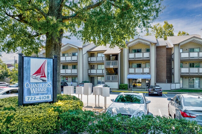
3702 Kecoughtan Rd
1007372
KECOUGHTAN RD 3.68AC
Highriseapartments
Hampton City
13 C-1 NEI
Virginia
AE The base floodplain where base flood elevations are provided. AE Zones are now used on new format FIRMs instead of A1-A30 Zones.
3.68 AC
2025
Newtown/Crown Pointe
2025
Hampton Roads
011600
Virginia Beach-Chesapeake-Norfolk, VA-NC
26,568 SF
NEARBY LISTINGS FOR SALE OR LEASE
DEMOGRAPHICS near 3702 Kecoughtan Rd
1 mile
3 mile
5 mile
2025 Total Population
8,802
55,055
155,626
2030 Population
8,727
55,263
155,579
Pop Growth 2025-2030
(0.85%)
+ 0.38%
(0.03%)
Average Age
40
39
38
2025 Total Households
3,738
23,053
63,378
HH Growth 2025-2030
(0.94%)
+ 0.51%
0.00%
Median Household Inc
$74,910
$61,993
$61,597
Avg Household Size
2.30
2.20
2.30
2025 Avg HH Vehicles
2.00
2.00
2.00
Median Home Value
$235,108
$226,361
$228,415
Median Year Built
1955
1966
1970
Nearby Places
Map Layers
Map Styles
 Street
 Aerial
Layers
 Traffic
 Biking
Places
Listings with unknown addresses are not visible on the map
- Restaurants
- Banks
- Shops
- Fitness
- Groceries
PUBLIC TRANSPORTATION
AIRPORT
Newport News/Williamsburg International
Drive
Walk
Distance
Newport News/Williamsburg International
23 min
14.0 mi
Norfolk International
Drive
Walk
Distance
Norfolk International
29 min
16.8 mi
Freight Ports
Virginia Port Authority - Newport News
Drive
Walk
Distance
Virginia Port Authority - Newport News
11 min
6.2 mi
Nearby Properties
Address
Land Use
TOTAL SIZE
Lot Size
Zoning
Address
Land Use
TOTAL SIZE
Lot Size
Zoning
1 SF
92.67 AC
5 R-13 ONE
Address
Land Use
TOTAL SIZE
Lot Size
Zoning
83.50 AC
5 R-13 ONE
Address
Land Use
TOTAL SIZE
Lot Size
Zoning
347,560 SF
31.84 AC
14 C-2 LIM
Address
Land Use
TOTAL SIZE
Lot Size
Zoning
7,644 SF
322.21 AC
19 PO-1 GE
Address
Land Use
TOTAL SIZE
Lot Size
Zoning
112,089 SF
11.95 AC
30 DT-3 DO
Address
Land Use
TOTAL SIZE
Lot Size
Zoning
199,364 SF
22.12 AC
6 R-11 ONE
Address
Land Use
TOTAL SIZE
Lot Size
Zoning
45,076 SF
9.53 AC
11 MD-4 MU
Address
Land Use
TOTAL SIZE
Lot Size
Zoning
540,444 SF
33.66 AC
32 M-2 LIG
Address
Land Use
TOTAL SIZE
Lot Size
Zoning
240,000 SF
30.38 AC
7 R-9 ONE
Address
Land Use
TOTAL SIZE
Lot Size
Zoning
230,974 SF
42.68 AC
5 R-13 ONE
Address
Land Use
TOTAL SIZE
Lot Size
Zoning
88,941 SF
29.32 AC
11 MD-4 MU
Address
Land Use
TOTAL SIZE
Lot Size
Zoning
17,368 SF
7.08 AC
11 MD-4 MU
Address
Land Use
TOTAL SIZE
Lot Size
Zoning
7,053 SF
12.28 AC
14 C-2 LIM
Address
Land Use
TOTAL SIZE
Lot Size
Zoning
355,300 SF
19.03 AC
9 R-M MULT
Address
Land Use
TOTAL SIZE
Lot Size
Zoning
73,668 SF
3.24 AC
30 DT-3 DO
Address
Land Use
TOTAL SIZE
Lot Size
Zoning
51,372 SF
5.99 AC
14 C-2 LIM
Address
Land Use
TOTAL SIZE
Lot Size
Zoning
110,080 SF
2.21 AC
29 DT-2 DO
Address
Land Use
TOTAL SIZE
Lot Size
Zoning
458,744 SF
28.01 AC
17 M-3 HEA
Address
Land Use
TOTAL SIZE
Lot Size
Zoning
4.99 AC
47 PH-2 PH
Address
Land Use
TOTAL SIZE
Lot Size
Zoning
299,604 SF
29.77 AC
32 M-2 LIG
Address
Land Use
TOTAL SIZE
Lot Size
Zoning
114,040 SF
1.46 AC
28 DT-1 DO
Address
Land Use
TOTAL SIZE
Lot Size
Zoning
124,050 SF
26.31 AC
19 PO-1 GE
Address
Land Use
TOTAL SIZE
Lot Size
Zoning
35,856 SF
20.25 AC
14 C-2 LIM
Address
Land Use
TOTAL SIZE
Lot Size
Zoning
123,752 SF
10.19 AC
14 C-2 LIM
Address
Land Use
TOTAL SIZE
Lot Size
Zoning
253,896 SF
13.32 AC
9 R-M MULT
Address
Land Use
TOTAL SIZE
Lot Size
Zoning
273,494 SF
5.48 AC
14 C-2 LIM
Address
Land Use
TOTAL SIZE
Lot Size
Zoning
123,151 SF
21.81 AC
5 R-13 ONE
Address
Land Use
TOTAL SIZE
Lot Size
Zoning
65,964 SF
11.81 AC
17 M-3 HEA
Address
Land Use
TOTAL SIZE
Lot Size
Zoning
204,803 SF
4.97 AC
43 FM-2 FO
Address
Land Use
TOTAL SIZE
Lot Size
Zoning
31,748 SF
5.30 AC
5 R-13 ONE
The World's #1 Commercial Real Estate Marketplace
Connect with us
© 2026 CoStar Group
The information above has been obtained from sources believed reliable. While we do not doubt its accuracy we have not verified it and make no guarantee, warranty or representation about it. It is your responsibility to independently confirm its accuracy and completeness. Any projections, opinions, assumptions, or estimates used are for example only and do not represent the current or future performance of the property. The value of this transaction to you depends on tax and other factors which should be evaluated by your tax, financial, and legal advisors. You and your advisors should conduct a careful, independent investigation of the property to determine to your satisfaction the suitability of the property for your needs.