Property Record
371 E Main St, Smithtown, NY 11787


Save to a Folder
{{folder.Name}}
{{folder.ListingIds.length}} Properties
{{folder.ListingIds.length}} Property
Create a New Folder
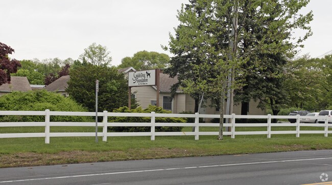
Property Detail
371 E Main St
Nassau County-Suffolk County, NY
3-108426 TC-70 RIESE 50 AC RD MIDDLE CNTY RD LINDNER PL
0800-105-00-03-00-011-000
Suffolk
Governmentalpublicusegeneral
New York
B and X Area of moderate flood hazard, usually the area between the limits of the 100-year and 500-year floods.
11
0
4.80 AC
2025
Western Suffolk
135002
Long Island (New York)
NEARBY LISTINGS FOR SALE OR LEASE
DEMOGRAPHICS near 371 E Main St
1 mile
3 mile
5 mile
2025 Total Population
8,316
72,776
197,199
2030 Population
8,276
72,639
196,157
Pop Growth 2025-2030
(0.48%)
(0.19%)
(0.53%)
Average Age
42
43
42
2025 Total Households
2,757
24,991
63,704
HH Growth 2025-2030
(0.83%)
(0.46%)
(0.79%)
Median Household Inc
$141,540
$136,863
$132,412
Avg Household Size
2.90
2.80
2.90
2025 Avg HH Vehicles
2.00
2.00
2.00
Median Home Value
$732,400
$703,288
$660,380
Median Year Built
1967
1969
1968
Nearby Places
Map Layers
Map Styles
 Street
 Aerial
Layers
 Traffic
 Biking
Places
Listings with unknown addresses are not visible on the map
- Restaurants
- Banks
- Shops
- Fitness
- Groceries
PUBLIC TRANSPORTATION
COMMUTER RAIL
Smithtown Station (Port Jefferson Branch - Long Island Rail Road)
Drive
Walk
Distance
Smithtown Station (Port Jefferson Branch - Long Island Rail Road)
4 min
1.9 mi
St James Station (Port Jefferson Branch - Long Island Rail Road)
Drive
Walk
Distance
St James Station (Port Jefferson Branch - Long Island Rail Road)
6 min
2.5 mi
AIRPORT
Long Island MacArthur
Drive
Walk
Distance
Long Island MacArthur
18 min
8.0 mi
Nearby Properties
Address
Land Use
TOTAL SIZE
Lot Size
Zoning
Address
Land Use
TOTAL SIZE
Lot Size
Zoning
57.30 AC
AAA
Address
Land Use
TOTAL SIZE
Lot Size
Zoning
5.32 AC
BUS3
Address
Land Use
TOTAL SIZE
Lot Size
Zoning
24.70 AC
AAA
Address
Land Use
TOTAL SIZE
Lot Size
Zoning
13.06 AC
BUS3
Address
Land Use
TOTAL SIZE
Lot Size
Zoning
23.08 AC
AA
Address
Land Use
TOTAL SIZE
Lot Size
Zoning
12.80 AC
AAA
Address
Land Use
TOTAL SIZE
Lot Size
Zoning
60.30 AC
Address
Land Use
TOTAL SIZE
Lot Size
Zoning
0.28 AC
VILLA
Address
Land Use
TOTAL SIZE
Lot Size
Zoning
4.91 AC
AAA
Address
Land Use
TOTAL SIZE
Lot Size
Zoning
16.30 AC
Address
Land Use
TOTAL SIZE
Lot Size
Zoning
14.50 AC
Address
Land Use
TOTAL SIZE
Lot Size
Zoning
18.20 AC
Address
Land Use
TOTAL SIZE
Lot Size
Zoning
1,755 SF
0.11 AC
VILLA
Address
Land Use
TOTAL SIZE
Lot Size
Zoning
3.13 AC
Address
Land Use
TOTAL SIZE
Lot Size
Zoning
35.49 AC
AAA
Address
Land Use
TOTAL SIZE
Lot Size
Zoning
38.10 AC
NULL
Address
Land Use
TOTAL SIZE
Lot Size
Zoning
128.70 AC
AA278
Address
Land Use
TOTAL SIZE
Lot Size
Zoning
3.80 AC
BUS1
Address
Land Use
TOTAL SIZE
Lot Size
Zoning
Address
Land Use
TOTAL SIZE
Lot Size
Zoning
8.21 AC
AAA
Address
Land Use
TOTAL SIZE
Lot Size
Zoning
26.80 AC
AAA278
Address
Land Use
TOTAL SIZE
Lot Size
Zoning
6.28 AC
BUS3
Address
Land Use
TOTAL SIZE
Lot Size
Zoning
24.39 AC
AAA
Address
Land Use
TOTAL SIZE
Lot Size
Zoning
24.10 AC
AAA
Address
Land Use
TOTAL SIZE
Lot Size
Zoning
2.14 AC
BUS1
Address
Land Use
TOTAL SIZE
Lot Size
Zoning
15.74 AC
Address
Land Use
TOTAL SIZE
Lot Size
Zoning
Address
Land Use
TOTAL SIZE
Lot Size
Zoning
5.10 AC
AAA
Address
Land Use
TOTAL SIZE
Lot Size
Zoning
The World's #1 Commercial Real Estate Marketplace
Connect with us
© 2026 CoStar Group
The information above has been obtained from sources believed reliable. While we do not doubt its accuracy we have not verified it and make no guarantee, warranty or representation about it. It is your responsibility to independently confirm its accuracy and completeness. Any projections, opinions, assumptions, or estimates used are for example only and do not represent the current or future performance of the property. The value of this transaction to you depends on tax and other factors which should be evaluated by your tax, financial, and legal advisors. You and your advisors should conduct a careful, independent investigation of the property to determine to your satisfaction the suitability of the property for your needs.