Property Record
371 Ritchie Hwy, Severna Park, MD 21146
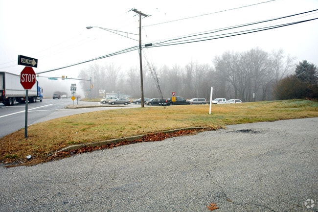

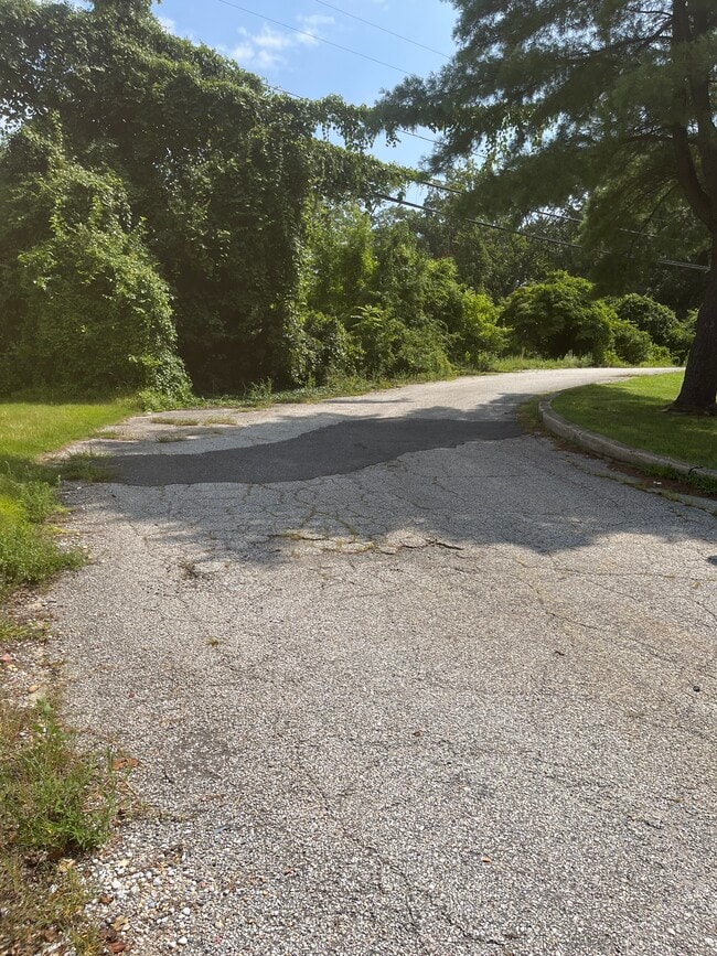

This Property Is For Sale
NEARBY LISTINGS FOR SALE OR LEASE
-
-
Simmons Lane & Baltimore Annapolis Boulevard
Severna Park, MD 21146
Rent Upon Request
1.77 AC Lots
Land
-
-
-
-
-
-
View all Severna Park listings for sale on LoopNet.com
Property Detail
371 Ritchie Hwy
Baltimore-Columbia-Towson, MD
Nr Robinson
03-000-11422600
Anne Arundel
Sfr
Maryland
X
0.71 AC
24003C0158F
Route 2 Corridor South
1,256 SF
Baltimore
DEMOGRAPHICS near 371 Ritchie Hwy
1 Mile
3 Mile
5 Mile
2024 Total Population
8,175
51,211
138,176
2029 Population
8,373
52,435
141,407
Pop Growth 2024-2029
+ 2.42%
+ 2.39%
+ 2.34%
Average Age
41
42
41
2024 Total Households
2,738
17,995
49,621
HH Growth 2024-2029
+ 2.48%
+ 2.44%
+ 2.40%
Median Household Inc
$166,057
$147,721
$124,088
Avg Household Size
2.90
2.80
2.70
2024 Avg HH Vehicles
2.00
2.00
2.00
Median Home Value
$647,232
$547,224
$457,561
Median Year Built
1983
1977
1980
Nearby Places
Map Layers
Map Styles
 Street
 Aerial
- Restaurants
- Banks
- Shops
- Fitness
- Groceries
PUBLIC TRANSPORTATION
AIRPORT
Baltimore/Washington International Thurgood Marshall
DRIVE
WALK
Distance
Baltimore/Washington International Thurgood Marshall
22 min
13.4 mi
Freight Ports
Port of Baltimore
DRIVE
WALK
Distance
Port of Baltimore
28 min
15.2 mi
Nearby Properties
Address
Land Use
TOTAL SIZE
Lot Size
Zoning
Address
Land Use
TOTAL SIZE
Lot Size
Zoning
285,360 SF
14.96 AC
Address
Land Use
TOTAL SIZE
Lot Size
Zoning
277,037 SF
10.45 AC
R5
Address
Land Use
TOTAL SIZE
Lot Size
Zoning
440,628 SF
38.41 AC
R2
Address
Land Use
TOTAL SIZE
Lot Size
Zoning
182,697 SF
20.82 AC
C3
Address
Land Use
TOTAL SIZE
Lot Size
Zoning
235,713 SF
19.64 AC
C3
Address
Land Use
TOTAL SIZE
Lot Size
Zoning
123,376 SF
25.42 AC
C3
Address
Land Use
TOTAL SIZE
Lot Size
Zoning
108,064 SF
9.24 AC
R10
Address
Land Use
TOTAL SIZE
Lot Size
Zoning
106,160 SF
5.11 AC
R-2
Address
Land Use
TOTAL SIZE
Lot Size
Zoning
139,230 SF
39.22 AC
R2
Address
Land Use
TOTAL SIZE
Lot Size
Zoning
79,311 SF
3.90 AC
C2
Address
Land Use
TOTAL SIZE
Lot Size
Zoning
272,245 SF
40.30 AC
R5
Address
Land Use
TOTAL SIZE
Lot Size
Zoning
121,846 SF
8.10 AC
C4
Address
Land Use
TOTAL SIZE
Lot Size
Zoning
82,712 SF
32.59 AC
R5
Address
Land Use
TOTAL SIZE
Lot Size
Zoning
114,602 SF
10.26 AC
C3
Address
Land Use
TOTAL SIZE
Lot Size
Zoning
75,634 SF
17.37 AC
R5
Address
Land Use
TOTAL SIZE
Lot Size
Zoning
46,896 SF
3.29 AC
C1B
Address
Land Use
TOTAL SIZE
Lot Size
Zoning
70,452 SF
15.69 AC
R5
Address
Land Use
TOTAL SIZE
Lot Size
Zoning
49,713 SF
5 AC
R1
Address
Land Use
TOTAL SIZE
Lot Size
Zoning
65,526 SF
6.23 AC
C2
Address
Land Use
TOTAL SIZE
Lot Size
Zoning
66,800 SF
17.42 AC
R5
Address
Land Use
TOTAL SIZE
Lot Size
Zoning
77,528 SF
4.28 AC
R2
Address
Land Use
TOTAL SIZE
Lot Size
Zoning
53,742 SF
11.50 AC
R2
Address
Land Use
TOTAL SIZE
Lot Size
Zoning
36,720 SF
3.74 AC
R2
Address
Land Use
TOTAL SIZE
Lot Size
Zoning
31,862 SF
2.55 AC
C3
Address
Land Use
TOTAL SIZE
Lot Size
Zoning
73,523 SF
6.61 AC
C3
Address
Land Use
TOTAL SIZE
Lot Size
Zoning
40,156 SF
8.74 AC
R5
Address
Land Use
TOTAL SIZE
Lot Size
Zoning
31,713 SF
2.53 AC
C3
Address
Land Use
TOTAL SIZE
Lot Size
Zoning
97,324 SF
4.61 AC
R2
Address
Land Use
TOTAL SIZE
Lot Size
Zoning
86,500 SF
1.78 AC
C4
Address
Land Use
TOTAL SIZE
Lot Size
Zoning
41,304 SF
5.27 AC
R5
The World's #1 Commercial Real Estate Marketplace
Connect with us
© 2026 CoStar Group
The information above has been obtained from sources believed reliable. While we do not doubt its accuracy we have not verified it and make no guarantee, warranty or representation about it. It is your responsibility to independently confirm its accuracy and completeness. Any projections, opinions, assumptions, or estimates used are for example only and do not represent the current or future performance of the property. The value of this transaction to you depends on tax and other factors which should be evaluated by your tax, financial, and legal advisors. You and your advisors should conduct a careful, independent investigation of the property to determine to your satisfaction the suitability of the property for your needs.