Property Record
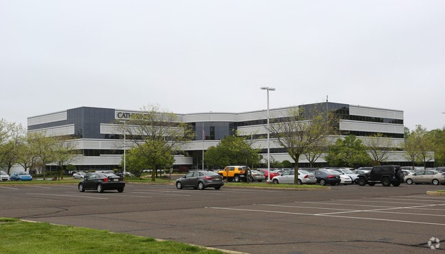
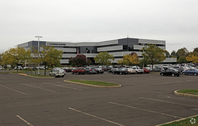
3750 State Rd, Bensalem, PA 19020


Property Detail
3750 State Rd
02-079-009-005
@2-80-28 (22.75AC TOT) N S OF STATE RD 268 E OF WINKS LN 975 ON STATE RD
Warehouse
Bucks
M2
Pennsylvania
B and X Area of moderate flood hazard, usually the area between the limits of the 100-year and 500-year floods.
22.72 AC
2024
Lower Bucks County
2025
Philadelphia
100102
Philadelphia-Camden-Wilmington, PA-NJ-DE-MD
244,000 SF
NEARBY LISTINGS FOR SALE OR LEASE
DEMOGRAPHICS near 3750 State Rd
1 mile
3 mile
5 mile
2025 Total Population
5,427
81,903
254,513
2030 Population
5,474
82,972
256,399
Pop Growth 2025-2030
+ 0.87%
+ 1.31%
+ 0.74%
Average Age
42
42
42
2025 Total Households
2,055
31,628
98,062
HH Growth 2025-2030
+ 0.73%
+ 1.38%
+ 0.64%
Median Household Inc
$79,841
$76,889
$82,843
Avg Household Size
2.60
2.50
2.50
2025 Avg HH Vehicles
2.00
2.00
2.00
Median Home Value
$315,313
$303,530
$300,227
Median Year Built
1958
1969
1966
Nearby Places
Map Layers
Map Styles
 Street
 Aerial
Layers
 Traffic
 Biking
Places
Listings with unknown addresses are not visible on the map
- Restaurants
- Banks
- Shops
- Fitness
- Groceries
Nearby Properties
Address
Land Use
TOTAL SIZE
Lot Size
Zoning
Address
Land Use
TOTAL SIZE
Lot Size
Zoning
1,615,457 SF
119.41 AC
CA2
Address
Land Use
TOTAL SIZE
Lot Size
Zoning
2,183 SF
61.10 AC
Address
Land Use
TOTAL SIZE
Lot Size
Zoning
22,688 SF
32.55 AC
BLI1
Address
Land Use
TOTAL SIZE
Lot Size
Zoning
179,868 SF
11.70 AC
CA2
Address
Land Use
TOTAL SIZE
Lot Size
Zoning
32.72 AC
Address
Land Use
TOTAL SIZE
Lot Size
Zoning
Address
Land Use
TOTAL SIZE
Lot Size
Zoning
376 SF
32.32 AC
B-3
Address
Land Use
TOTAL SIZE
Lot Size
Zoning
136,315 SF
11.38 AC
CA1
Address
Land Use
TOTAL SIZE
Lot Size
Zoning
234,965 SF
18.36 AC
CA1
Address
Land Use
TOTAL SIZE
Lot Size
Zoning
74,878 SF
8.45 AC
CA1
Address
Land Use
TOTAL SIZE
Lot Size
Zoning
253,500 SF
24.28 AC
BLI1
Address
Land Use
TOTAL SIZE
Lot Size
Zoning
1,325 SF
18.73 AC
Address
Land Use
TOTAL SIZE
Lot Size
Zoning
9.65 AC
Address
Land Use
TOTAL SIZE
Lot Size
Zoning
3.44 AC
I-2
Address
Land Use
TOTAL SIZE
Lot Size
Zoning
372,324 SF
17 AC
Address
Land Use
TOTAL SIZE
Lot Size
Zoning
72,715 SF
46.60 AC
RSD2
Address
Land Use
TOTAL SIZE
Lot Size
Zoning
11.06 AC
SPPOA
Address
Land Use
TOTAL SIZE
Lot Size
Zoning
15.09 AC
I-1
Address
Land Use
TOTAL SIZE
Lot Size
Zoning
1,808 SF
16.06 AC
I-2
Address
Land Use
TOTAL SIZE
Lot Size
Zoning
10.73 AC
BLI1
Address
Land Use
TOTAL SIZE
Lot Size
Zoning
8.96 AC
SPPOA
Address
Land Use
TOTAL SIZE
Lot Size
Zoning
208,036 SF
28.81 AC
Address
Land Use
TOTAL SIZE
Lot Size
Zoning
2.18 AC
Address
Land Use
TOTAL SIZE
Lot Size
Zoning
16.16 AC
Address
Land Use
TOTAL SIZE
Lot Size
Zoning
155,000 SF
10.17 AC
CA1
Address
Land Use
TOTAL SIZE
Lot Size
Zoning
153,644 SF
10.08 AC
CA1
Address
Land Use
TOTAL SIZE
Lot Size
Zoning
153,644 SF
10.08 AC
CA1
Address
Land Use
TOTAL SIZE
Lot Size
Zoning
7.68 AC
SPPOA
Address
Land Use
TOTAL SIZE
Lot Size
Zoning
287,866 SF
47.54 AC
I-1
Address
Land Use
TOTAL SIZE
Lot Size
Zoning
20.65 AC
The World's #1 Commercial Real Estate Marketplace
Connect with us
© 2026 CoStar Group
The information above has been obtained from sources believed reliable. While we do not doubt its accuracy we have not verified it and make no guarantee, warranty or representation about it. It is your responsibility to independently confirm its accuracy and completeness. Any projections, opinions, assumptions, or estimates used are for example only and do not represent the current or future performance of the property. The value of this transaction to you depends on tax and other factors which should be evaluated by your tax, financial, and legal advisors. You and your advisors should conduct a careful, independent investigation of the property to determine to your satisfaction the suitability of the property for your needs.