Property Record
379 Lower Pln, Bradford, VT 05033


This Property Is For Sale
NEARBY LISTINGS FOR SALE OR LEASE
-
-
View all Bradford listings for sale on LoopNet.com
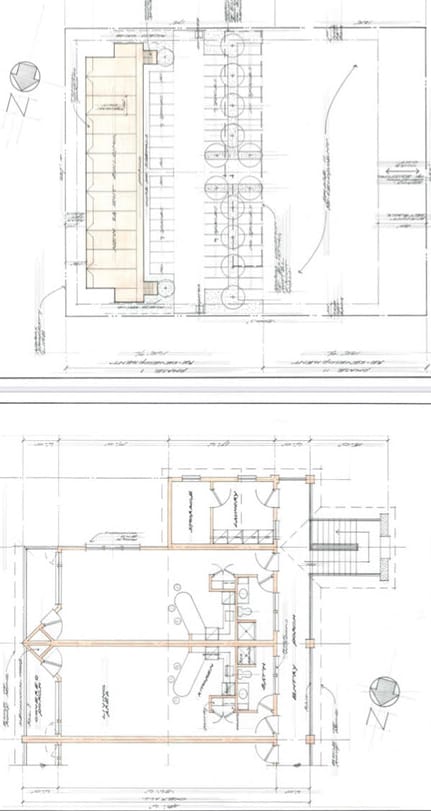
Property Detail
379 Lower Pln
Claremont-Lebanon, NH-VT
LOCATION: US ROUTE 5 BRADFORD VT 05033
072-022-10030
Orange
Commercialnec
Vermont
2024
1.70 AC
2024
Vermont North Area
959800
Other Market Areas
DEMOGRAPHICS near 379 Lower Pln
1 Mile
3 Mile
5 Mile
2024 Total Population
1,080
2,521
4,068
2029 Population
1,097
2,588
4,201
Pop Growth 2024-2029
+ 1.57%
+ 2.66%
+ 3.27%
Average Age
43
43
44
2024 Total Households
466
1,087
1,748
HH Growth 2024-2029
+ 1.29%
+ 2.48%
+ 3.09%
Median Household Inc
$63,000
$68,608
$70,063
Avg Household Size
2.20
2.20
2.20
2024 Avg HH Vehicles
2.00
2.00
2.00
Median Home Value
$194,999
$223,894
$230,831
Median Year Built
1959
1969
1972
Nearby Places
Map Layers
Map Styles
 Street
 Aerial
- Restaurants
- Banks
- Shops
- Fitness
- Groceries
Nearby Properties
Address
Land Use
TOTAL SIZE
Lot Size
Zoning
Address
Land Use
TOTAL SIZE
Lot Size
Zoning
Address
Land Use
TOTAL SIZE
Lot Size
Zoning
36,732 SF
3.50 AC
Address
Land Use
TOTAL SIZE
Lot Size
Zoning
286.34 AC
Address
Land Use
TOTAL SIZE
Lot Size
Zoning
1.70 AC
Address
Land Use
TOTAL SIZE
Lot Size
Zoning
12,584 SF
2.32 AC
Address
Land Use
TOTAL SIZE
Lot Size
Zoning
31,213 SF
7.70 AC
Address
Land Use
TOTAL SIZE
Lot Size
Zoning
36,429 SF
6.40 AC
Address
Land Use
TOTAL SIZE
Lot Size
Zoning
5.60 AC
Address
Land Use
TOTAL SIZE
Lot Size
Zoning
5.72 AC
Address
Land Use
TOTAL SIZE
Lot Size
Zoning
12.08 AC
Address
Land Use
TOTAL SIZE
Lot Size
Zoning
172.77 AC
Address
Land Use
TOTAL SIZE
Lot Size
Zoning
14,060 SF
2.39 AC
VILLAG
Address
Land Use
TOTAL SIZE
Lot Size
Zoning
5.50 AC
Address
Land Use
TOTAL SIZE
Lot Size
Zoning
Address
Land Use
TOTAL SIZE
Lot Size
Zoning
Address
Land Use
TOTAL SIZE
Lot Size
Zoning
1.88 AC
Address
Land Use
TOTAL SIZE
Lot Size
Zoning
3.30 AC
Address
Land Use
TOTAL SIZE
Lot Size
Zoning
2.50 AC
Address
Land Use
TOTAL SIZE
Lot Size
Zoning
51,850 SF
6.70 AC
Address
Land Use
TOTAL SIZE
Lot Size
Zoning
1.34 AC
Address
Land Use
TOTAL SIZE
Lot Size
Zoning
Address
Land Use
TOTAL SIZE
Lot Size
Zoning
10,683 SF
Address
Land Use
TOTAL SIZE
Lot Size
Zoning
44.90 AC
Address
Land Use
TOTAL SIZE
Lot Size
Zoning
6.60 AC
Address
Land Use
TOTAL SIZE
Lot Size
Zoning
2.84 AC
Address
Land Use
TOTAL SIZE
Lot Size
Zoning
826.37 AC
Address
Land Use
TOTAL SIZE
Lot Size
Zoning
2.90 AC
Address
Land Use
TOTAL SIZE
Lot Size
Zoning
0.62 AC
Address
Land Use
TOTAL SIZE
Lot Size
Zoning
8,000 SF
2.38 AC
Address
Land Use
TOTAL SIZE
Lot Size
Zoning
6.24 AC
The World's #1 Commercial Real Estate Marketplace
Connect with us
© 2025 CoStar Group
The information above has been obtained from sources believed reliable. While we do not doubt its accuracy we have not verified it and make no guarantee, warranty or representation about it. It is your responsibility to independently confirm its accuracy and completeness. Any projections, opinions, assumptions, or estimates used are for example only and do not represent the current or future performance of the property. The value of this transaction to you depends on tax and other factors which should be evaluated by your tax, financial, and legal advisors. You and your advisors should conduct a careful, independent investigation of the property to determine to your satisfaction the suitability of the property for your needs.