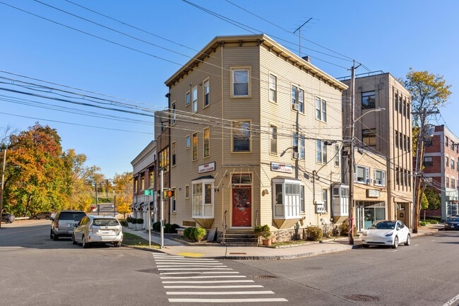
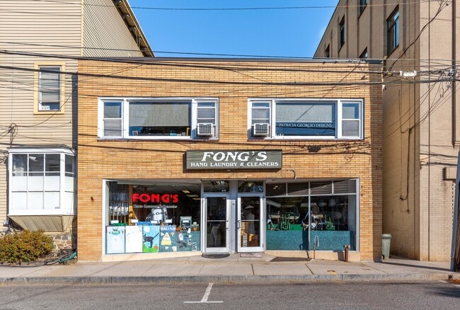
Property Record
38 Elm Pl, Rye, NY 10580
NEARBY LISTINGS FOR SALE OR LEASE
Property Detail
38 Elm Pl
1400-146-007-00001-000-0058
Westchester
Commercialofficeresidentialmixeduse
New York
AE
58.000
09001C0606G
0.04 AC
2025
East I-287 Corridor
2024
Westchester/So Connecticut
007700
New York-Jersey City-White Plains, NY-NJ
DEMOGRAPHICS near 38 Elm Pl
1 Mile
3 Mile
5 Mile
2024 Total Population
8,728
78,623
159,505
2029 Population
8,613
75,928
156,168
Pop Growth 2024-2029
(1.32%)
(3.43%)
(2.09%)
Average Age
40
40
41
2024 Total Households
3,083
27,214
56,738
HH Growth 2024-2029
(1.52%)
(3.51%)
(2.12%)
Median Household Inc
$172,528
$132,174
$144,458
Avg Household Size
2.70
2.80
2.70
2024 Avg HH Vehicles
2.00
2.00
2.00
Median Home Value
$1,060,370
$842,569
$875,023
Median Year Built
1952
1956
1957
Nearby Places
- Restaurants
- Banks
- Shops
- Fitness
- Groceries
SALE & LEASE HISTORY
LISTING DATE
SALE/LEASE

Nov 21, 2022
For Sale
Nearby Properties
Address
Land Use
TOTAL SIZE
Lot Size
Zoning
Address
Land Use
TOTAL SIZE
Lot Size
Zoning
5COMMUND
Address
Land Use
TOTAL SIZE
Lot Size
Zoning
277,172 SF
29.98 AC
CD COMM
Address
Land Use
TOTAL SIZE
Lot Size
Zoning
9,828 SF
22.01 AC
R-6
Address
Land Use
TOTAL SIZE
Lot Size
Zoning
0.01 AC
5COMMUND
Address
Land Use
TOTAL SIZE
Lot Size
Zoning
5COMMUND
Address
Land Use
TOTAL SIZE
Lot Size
Zoning
345,927 SF
4.32 AC
MUR WTRFR
Address
Land Use
TOTAL SIZE
Lot Size
Zoning
556,297 SF
25.31 AC
05 - COMME
Address
Land Use
TOTAL SIZE
Lot Size
Zoning
5COMMUND
Address
Land Use
TOTAL SIZE
Lot Size
Zoning
91,202 SF
22.09 AC
R-6
Address
Land Use
TOTAL SIZE
Lot Size
Zoning
42,306 SF
20.35 AC
GB
Address
Land Use
TOTAL SIZE
Lot Size
Zoning
3.45 AC
RA-1
Address
Land Use
TOTAL SIZE
Lot Size
Zoning
135,380 SF
7.32 AC
MUR WTRFR
Address
Land Use
TOTAL SIZE
Lot Size
Zoning
143,372 SF
24.05 AC
OB-2 OFFC
Address
Land Use
TOTAL SIZE
Lot Size
Zoning
84,747 SF
8.64 AC
C1-P RTAIL
Address
Land Use
TOTAL SIZE
Lot Size
Zoning
126,404 SF
1.12 AC
GBO
Address
Land Use
TOTAL SIZE
Lot Size
Zoning
9.30 AC
M2 INDUST
Address
Land Use
TOTAL SIZE
Lot Size
Zoning
122,386 SF
1.39 AC
DW2 WTRFR
Address
Land Use
TOTAL SIZE
Lot Size
Zoning
65,659 SF
7.72 AC
R-6
Address
Land Use
TOTAL SIZE
Lot Size
Zoning
101,657 SF
1.14 AC
C2 COMM
Address
Land Use
TOTAL SIZE
Lot Size
Zoning
171,925 SF
6.21 AC
M2 INDUST
Address
Land Use
TOTAL SIZE
Lot Size
Zoning
6.31 AC
R-5 SFR
Address
Land Use
TOTAL SIZE
Lot Size
Zoning
9,756 SF
13.07 AC
R-6
Address
Land Use
TOTAL SIZE
Lot Size
Zoning
75,598 SF
0.54 AC
MUR WTRFR
Address
Land Use
TOTAL SIZE
Lot Size
Zoning
10.10 AC
RA-1
Address
Land Use
TOTAL SIZE
Lot Size
Zoning
109,212 SF
1.80 AC
CD COMM
Address
Land Use
TOTAL SIZE
Lot Size
Zoning
123,454 SF
1.54 AC
M2 INDUST
Address
Land Use
TOTAL SIZE
Lot Size
Zoning
32,143 SF
5.79 AC
R-C7
Address
Land Use
TOTAL SIZE
Lot Size
Zoning
5COMMUND
Address
Land Use
TOTAL SIZE
Lot Size
Zoning
Address
Land Use
TOTAL SIZE
Lot Size
Zoning
113,144 SF
6 AC
R-7 SFR
The World's #1 Commercial Real Estate Marketplace
Connect with us
© 2025 CoStar Group
The information above has been obtained from sources believed reliable. While we do not doubt its accuracy we have not verified it and make no guarantee, warranty or representation about it. It is your responsibility to independently confirm its accuracy and completeness. Any projections, opinions, assumptions, or estimates used are for example only and do not represent the current or future performance of the property. The value of this transaction to you depends on tax and other factors which should be evaluated by your tax, financial, and legal advisors. You and your advisors should conduct a careful, independent investigation of the property to determine to your satisfaction the suitability of the property for your needs.