Property Record
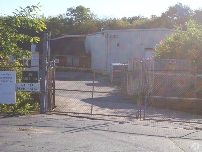
38 Mill Rd, Acushnet, MA 02743


Property Detail
38 Mill Rd
ACUS-000024-000000-464960
Bristol
Charitableorganization
Massachusetts
2025
19.67 AC
2025
Attleboro/New Bedford
654200
Boston
777 SF
Providence-Warwick, RI-MA
NEARBY LISTINGS FOR SALE OR LEASE
DEMOGRAPHICS near 38 Mill Rd
1 mile
3 mile
5 mile
2025 Total Population
10,352
59,879
123,627
2030 Population
10,449
59,969
123,750
Pop Growth 2025-2030
+ 0.94%
+ 0.15%
+ 0.10%
Average Age
43
40
41
2025 Total Households
4,453
24,668
50,521
HH Growth 2025-2030
+ 0.97%
+ 0.19%
+ 0.11%
Median Household Inc
$77,915
$63,077
$64,162
Avg Household Size
2.30
2.30
2.30
2025 Avg HH Vehicles
2.00
2.00
2.00
Median Home Value
$363,231
$378,332
$397,648
Median Year Built
1955
1950
1949
Nearby Places
Map Layers
Map Styles
 Street
 Aerial
Transit
 Traffic
 Biking
Places
Listings with unknown addresses are not visible on the map
- Restaurants
- Banks
- Shops
- Fitness
- Groceries
Nearby Properties
Address
Land Use
TOTAL SIZE
Lot Size
Zoning
Address
Land Use
TOTAL SIZE
Lot Size
Zoning
23.22 AC
RB
Address
Land Use
TOTAL SIZE
Lot Size
Zoning
243,052 SF
9.66 AC
RB
Address
Land Use
TOTAL SIZE
Lot Size
Zoning
54.60 AC
Address
Land Use
TOTAL SIZE
Lot Size
Zoning
231,634 SF
2.45 AC
IB
Address
Land Use
TOTAL SIZE
Lot Size
Zoning
160,391 SF
2.86 AC
MUB
Address
Land Use
TOTAL SIZE
Lot Size
Zoning
214,698 SF
4.66 AC
IB
Address
Land Use
TOTAL SIZE
Lot Size
Zoning
24.95 AC
PB
Address
Land Use
TOTAL SIZE
Lot Size
Zoning
11.67 AC
RC
Address
Land Use
TOTAL SIZE
Lot Size
Zoning
188,739 SF
2.57 AC
IB
Address
Land Use
TOTAL SIZE
Lot Size
Zoning
134,355 SF
2.21 AC
IB
Address
Land Use
TOTAL SIZE
Lot Size
Zoning
183,196 SF
8.14 AC
MUB
Address
Land Use
TOTAL SIZE
Lot Size
Zoning
492.70 AC
IC
Address
Land Use
TOTAL SIZE
Lot Size
Zoning
119,865 SF
3.22 AC
IA
Address
Land Use
TOTAL SIZE
Lot Size
Zoning
212,875 SF
7.24 AC
WI
Address
Land Use
TOTAL SIZE
Lot Size
Zoning
116,158 SF
3.80 AC
IB
Address
Land Use
TOTAL SIZE
Lot Size
Zoning
225,292 SF
29.27 AC
IC
Address
Land Use
TOTAL SIZE
Lot Size
Zoning
8.69 AC
RA
Address
Land Use
TOTAL SIZE
Lot Size
Zoning
5,616 SF
132.66 AC
RA
Address
Land Use
TOTAL SIZE
Lot Size
Zoning
306.30 AC
IC
Address
Land Use
TOTAL SIZE
Lot Size
Zoning
6.46 AC
MUB
Address
Land Use
TOTAL SIZE
Lot Size
Zoning
165,183 SF
11.29 AC
PB
Address
Land Use
TOTAL SIZE
Lot Size
Zoning
5.49 AC
RB
Address
Land Use
TOTAL SIZE
Lot Size
Zoning
85.25 AC
MUB
Address
Land Use
TOTAL SIZE
Lot Size
Zoning
5.30 AC
RC
Address
Land Use
TOTAL SIZE
Lot Size
Zoning
39,910 SF
2.29 AC
RB
Address
Land Use
TOTAL SIZE
Lot Size
Zoning
381.39 AC
Address
Land Use
TOTAL SIZE
Lot Size
Zoning
108,772 SF
3.33 AC
RB
Address
Land Use
TOTAL SIZE
Lot Size
Zoning
9.79 AC
IA
Address
Land Use
TOTAL SIZE
Lot Size
Zoning
71.14 AC
RA
Address
Land Use
TOTAL SIZE
Lot Size
Zoning
118,757 SF
61.52 AC
IC
The World's #1 Commercial Real Estate Marketplace
Connect with us
© 2026 CoStar Group
The information above has been obtained from sources believed reliable. While we do not doubt its accuracy we have not verified it and make no guarantee, warranty or representation about it. It is your responsibility to independently confirm its accuracy and completeness. Any projections, opinions, assumptions, or estimates used are for example only and do not represent the current or future performance of the property. The value of this transaction to you depends on tax and other factors which should be evaluated by your tax, financial, and legal advisors. You and your advisors should conduct a careful, independent investigation of the property to determine to your satisfaction the suitability of the property for your needs.