Property Record
3858 Cape Haze Dr, Rotonda West, FL 33947
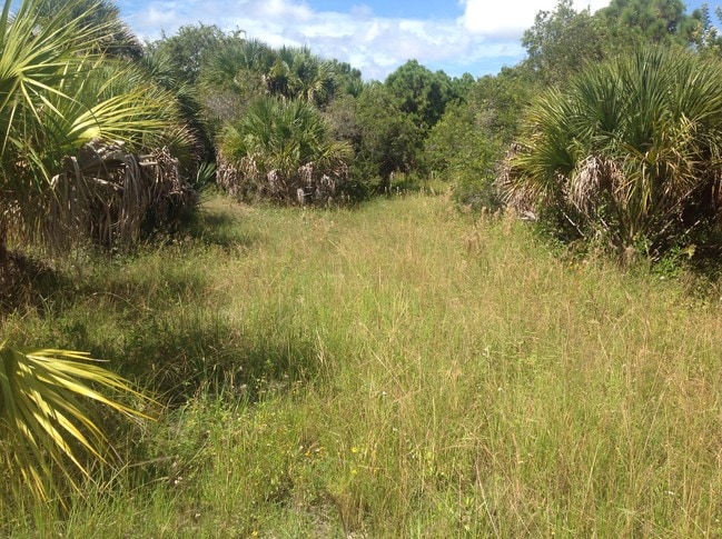
This Property Is For Sale
NEARBY LISTINGS FOR SALE OR LEASE
Property Detail
3858 Cape Haze Dr
Punta Gorda, FL
Rotonda Shores
412034276001
ROTONDA SHORES LT 451 4134/2103 4169/874 4319/1358
Commercialacreage
Charlotte
AE
Florida
12015C0356G
451
2024
0.34 AC
2025
Charlotte County
030506
Southwest Florida
DEMOGRAPHICS near 3858 Cape Haze Dr
1 Mile
3 Mile
5 Mile
2024 Total Population
2,587
15,311
36,992
2029 Population
3,193
18,707
45,051
Pop Growth 2024-2029
+ 23.42%
+ 22.18%
+ 21.79%
Average Age
62
61
58
2024 Total Households
1,437
7,729
18,144
HH Growth 2024-2029
+ 23.52%
+ 22.34%
+ 22.01%
Median Household Inc
$49,999
$58,523
$59,271
Avg Household Size
1.80
2.00
2.00
2024 Avg HH Vehicles
1.00
2.00
2.00
Median Home Value
$237,914
$293,166
$275,715
Median Year Built
1988
1994
1994
Nearby Places
Map Layers
Map Styles
 Street
 Aerial
- Restaurants
- Banks
- Shops
- Fitness
- Groceries
PUBLIC TRANSPORTATION
AIRPORT
Punta Gorda
DRIVE
WALK
Distance
Punta Gorda
53 min
29.3 mi
Freight Ports
Port Manatee
DRIVE
WALK
Distance
Port Manatee
89 min
62.6 mi
Nearby Properties
Address
Land Use
TOTAL SIZE
Lot Size
Zoning
Address
Land Use
TOTAL SIZE
Lot Size
Zoning
2,387.99 AC
ES
Address
Land Use
TOTAL SIZE
Lot Size
Zoning
105,990 SF
17.30 AC
RMF15
Address
Land Use
TOTAL SIZE
Lot Size
Zoning
70,336 SF
29.71 AC
II
Address
Land Use
TOTAL SIZE
Lot Size
Zoning
38,036 SF
9.09 AC
RMF15
Address
Land Use
TOTAL SIZE
Lot Size
Zoning
32,041 SF
202.06 AC
CT
Address
Land Use
TOTAL SIZE
Lot Size
Zoning
101,160 SF
2.39 AC
CG
Address
Land Use
TOTAL SIZE
Lot Size
Zoning
42,935 SF
167.66 AC
RE1
Address
Land Use
TOTAL SIZE
Lot Size
Zoning
2,473 SF
26.16 AC
PUBLIC
Address
Land Use
TOTAL SIZE
Lot Size
Zoning
25,685 SF
126.18 AC
RMF-T
Address
Land Use
TOTAL SIZE
Lot Size
Zoning
98,534 SF
24.84 AC
CG
Address
Land Use
TOTAL SIZE
Lot Size
Zoning
4,326 SF
31.99 AC
MHP
Address
Land Use
TOTAL SIZE
Lot Size
Zoning
55,760 SF
3.18 AC
CG
Address
Land Use
TOTAL SIZE
Lot Size
Zoning
14.21 AC
II
Address
Land Use
TOTAL SIZE
Lot Size
Zoning
324 SF
11.52 AC
CT
Address
Land Use
TOTAL SIZE
Lot Size
Zoning
40,376 SF
11.18 AC
CG
Address
Land Use
TOTAL SIZE
Lot Size
Zoning
24,708 SF
14.89 AC
CT
Address
Land Use
TOTAL SIZE
Lot Size
Zoning
3,935 SF
36.92 AC
RMF10
Address
Land Use
TOTAL SIZE
Lot Size
Zoning
50,080 SF
5.09 AC
CG
Address
Land Use
TOTAL SIZE
Lot Size
Zoning
15.79 AC
CT
Address
Land Use
TOTAL SIZE
Lot Size
Zoning
38.60 AC
PD
Address
Land Use
TOTAL SIZE
Lot Size
Zoning
5.61 AC
II
Address
Land Use
TOTAL SIZE
Lot Size
Zoning
25,130 SF
21.98 AC
RE1
Address
Land Use
TOTAL SIZE
Lot Size
Zoning
27,501 SF
3.82 AC
CG
Address
Land Use
TOTAL SIZE
Lot Size
Zoning
20,160 SF
3.04 AC
CG
Address
Land Use
TOTAL SIZE
Lot Size
Zoning
5,980 SF
0.40 AC
BBI
Address
Land Use
TOTAL SIZE
Lot Size
Zoning
15,190 SF
154.40 AC
RSF5
Address
Land Use
TOTAL SIZE
Lot Size
Zoning
8.47 AC
RMF10
Address
Land Use
TOTAL SIZE
Lot Size
Zoning
33.01 AC
CG
Address
Land Use
TOTAL SIZE
Lot Size
Zoning
10 AC
RMF10
Address
Land Use
TOTAL SIZE
Lot Size
Zoning
18.62 AC
RMF15
The World's #1 Commercial Real Estate Marketplace
Connect with us
© 2026 CoStar Group
The information above has been obtained from sources believed reliable. While we do not doubt its accuracy we have not verified it and make no guarantee, warranty or representation about it. It is your responsibility to independently confirm its accuracy and completeness. Any projections, opinions, assumptions, or estimates used are for example only and do not represent the current or future performance of the property. The value of this transaction to you depends on tax and other factors which should be evaluated by your tax, financial, and legal advisors. You and your advisors should conduct a careful, independent investigation of the property to determine to your satisfaction the suitability of the property for your needs.