Property Record
3818 E Hammer Ln, Stockton, CA 95212
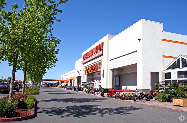

Property Detail
3818 E Hammer Ln
130-030-02
REDRAWN FEB-17-2004 FROM ORIGINAL APN 092-260-14
Storemultistory
San Joaquin
C and X Area of minimal flood hazard, usually depicted on FIRMs as above the 500-year flood level.
California
2025
10.34 AC
2025
Stockton
003504
Stockton/Modesto
102,190 SF
Stockton-Lodi, CA
NEARBY LISTINGS FOR SALE OR LEASE
DEMOGRAPHICS near 3818 E Hammer Ln
1 mile
3 mile
5 mile
2025 Total Population
12,880
109,703
260,748
2030 Population
13,355
114,344
271,585
Pop Growth 2025-2030
+ 3.69%
+ 4.23%
+ 4.16%
Average Age
36
37
37
2025 Total Households
3,370
32,353
82,845
HH Growth 2025-2030
+ 3.83%
+ 4.32%
+ 4.34%
Median Household Inc
$84,799
$74,677
$73,895
Avg Household Size
3.70
3.30
3.00
2025 Avg HH Vehicles
2.00
2.00
2.00
Median Home Value
$483,081
$425,714
$425,214
Median Year Built
2001
1982
1974
Nearby Places
Map Layers
Map Styles
 Street
 Aerial
Layers
 Traffic
 Biking
Places
Listings with unknown addresses are not visible on the map
- Restaurants
- Banks
- Shops
- Fitness
- Groceries
PUBLIC TRANSPORTATION
COMMUTER RAIL
Drive
Walk
Distance
11 min
6.0 mi
Drive
Walk
Distance
12 min
7.6 mi
AIRPORT
Stockton Metro
Drive
Walk
Distance
Stockton Metro
17 min
11.7 mi
Freight Ports
Port of Stockton
Drive
Walk
Distance
Port of Stockton
16 min
10.1 mi
Nearby Properties
Address
Land Use
TOTAL SIZE
Lot Size
Zoning
Address
Land Use
TOTAL SIZE
Lot Size
Zoning
105,083 SF
24.90 AC
O
Address
Land Use
TOTAL SIZE
Lot Size
Zoning
4,495 SF
11.76 AC
Address
Land Use
TOTAL SIZE
Lot Size
Zoning
9,750 SF
136.94 AC
AU20
Address
Land Use
TOTAL SIZE
Lot Size
Zoning
652,548 SF
35.24 AC
IL
Address
Land Use
TOTAL SIZE
Lot Size
Zoning
254,378 SF
17.07 AC
Address
Land Use
TOTAL SIZE
Lot Size
Zoning
121,574 SF
5.49 AC
RHD
Address
Land Use
TOTAL SIZE
Lot Size
Zoning
47.61 AC
Address
Land Use
TOTAL SIZE
Lot Size
Zoning
21,204 SF
3.19 AC
Address
Land Use
TOTAL SIZE
Lot Size
Zoning
207,540 SF
21.16 AC
Address
Land Use
TOTAL SIZE
Lot Size
Zoning
1,312 SF
7.44 AC
Address
Land Use
TOTAL SIZE
Lot Size
Zoning
219,572 SF
16.53 AC
IL
Address
Land Use
TOTAL SIZE
Lot Size
Zoning
14,212 SF
26.11 AC
Address
Land Use
TOTAL SIZE
Lot Size
Zoning
90,142 SF
26.25 AC
Address
Land Use
TOTAL SIZE
Lot Size
Zoning
21,204 SF
3.13 AC
Address
Land Use
TOTAL SIZE
Lot Size
Zoning
107,184 SF
34.13 AC
Address
Land Use
TOTAL SIZE
Lot Size
Zoning
Address
Land Use
TOTAL SIZE
Lot Size
Zoning
51,892 SF
5.33 AC
Address
Land Use
TOTAL SIZE
Lot Size
Zoning
52,644 SF
2 AC
Address
Land Use
TOTAL SIZE
Lot Size
Zoning
5,458 SF
13.01 AC
Address
Land Use
TOTAL SIZE
Lot Size
Zoning
21,204 SF
3.52 AC
Address
Land Use
TOTAL SIZE
Lot Size
Zoning
117,320 SF
2.86 AC
Address
Land Use
TOTAL SIZE
Lot Size
Zoning
2.42 AC
Address
Land Use
TOTAL SIZE
Lot Size
Zoning
2,876 SF
10.54 AC
Address
Land Use
TOTAL SIZE
Lot Size
Zoning
67,195 SF
5.30 AC
Address
Land Use
TOTAL SIZE
Lot Size
Zoning
135,198 SF
13.37 AC
Address
Land Use
TOTAL SIZE
Lot Size
Zoning
95,838 SF
10.10 AC
Address
Land Use
TOTAL SIZE
Lot Size
Zoning
126,108 SF
12.43 AC
Address
Land Use
TOTAL SIZE
Lot Size
Zoning
11,720 SF
4.28 AC
The World's #1 Commercial Real Estate Marketplace
Connect with us
© 2026 CoStar Group
The information above has been obtained from sources believed reliable. While we do not doubt its accuracy we have not verified it and make no guarantee, warranty or representation about it. It is your responsibility to independently confirm its accuracy and completeness. Any projections, opinions, assumptions, or estimates used are for example only and do not represent the current or future performance of the property. The value of this transaction to you depends on tax and other factors which should be evaluated by your tax, financial, and legal advisors. You and your advisors should conduct a careful, independent investigation of the property to determine to your satisfaction the suitability of the property for your needs.