Property Record
3860 Ne 40Th Pl, Ocala, FL 34479

NEARBY LISTINGS FOR SALE OR LEASE
Property Detail
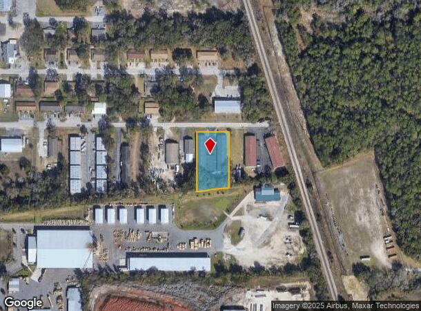
3860 Ne 40Th Pl
Ocala, FL
Mayo Of Silver Springs Park
15856-429-03
SEC 35 TWP 14 RGE 22 PLAT BOOK A PAGE 016 GEORGE S MAYO OF SILVER SPRINGS PARK BLK 429 LOTS 3.4.5.6.25.26.27.28 & PT LOTS 3.4.5.6 BLK 430 AN THAT PT OF NE 39TH LYING BETWEEN BLKS 429 & 430 DESC AS FOLLOWS:COM NE COR LOT 3 BLK 429 TH S ALONG E BOUNDAR
Warehouse
Marion
X
Florida
12083C0530E
3-6,2
2024
1.57 AC
2024
Outlying Marion County
001302
Ocala
14,700 SF
DEMOGRAPHICS near 3860 Ne 40Th Pl
1 Mile
3 Mile
5 Mile
2024 Total Population
2,853
30,412
69,357
2029 Population
3,198
34,227
78,034
Pop Growth 2024-2029
+ 12.09%
+ 12.54%
+ 12.51%
Average Age
43
41
41
2024 Total Households
1,236
12,870
28,603
HH Growth 2024-2029
+ 12.06%
+ 12.55%
+ 12.51%
Median Household Inc
$53,723
$50,780
$54,461
Avg Household Size
2.30
2.30
2.40
2024 Avg HH Vehicles
2.00
2.00
2.00
Median Home Value
$135,080
$156,407
$183,482
Median Year Built
1984
1982
1981
Nearby Places
Map Layers
Map Styles
 Street
 Aerial
- Restaurants
- Banks
- Shops
- Fitness
- Groceries
SALE & LEASE HISTORY
LISTING DATE
SALE/LEASE

Sep 25, 2016
For Lease
Nov 27, 2019
For Lease
Jul 15, 2024
For Lease
Jan 24, 2019
For Lease
Dec 11, 2017
For Lease
Nearby Properties
Address
Land Use
TOTAL SIZE
Lot Size
Zoning
Address
Land Use
TOTAL SIZE
Lot Size
Zoning
205,664 SF
22.56 AC
B5
Address
Land Use
TOTAL SIZE
Lot Size
Zoning
116,035 SF
38.20 AC
GU
Address
Land Use
TOTAL SIZE
Lot Size
Zoning
30,334 SF
29.72 AC
GU
Address
Land Use
TOTAL SIZE
Lot Size
Zoning
78,280 SF
12.54 AC
R3
Address
Land Use
TOTAL SIZE
Lot Size
Zoning
196,416 SF
29.65 AC
SC
Address
Land Use
TOTAL SIZE
Lot Size
Zoning
2,541.29 AC
A1
Address
Land Use
TOTAL SIZE
Lot Size
Zoning
134,827 SF
14.83 AC
SC
Address
Land Use
TOTAL SIZE
Lot Size
Zoning
192,553 SF
21.18 AC
SC
Address
Land Use
TOTAL SIZE
Lot Size
Zoning
134,890 SF
18.90 AC
B4
Address
Land Use
TOTAL SIZE
Lot Size
Zoning
10,552 SF
51.60 AC
PRV
Address
Land Use
TOTAL SIZE
Lot Size
Zoning
35,356 SF
6.14 AC
R3
Address
Land Use
TOTAL SIZE
Lot Size
Zoning
81,689 SF
11.05 AC
B2
Address
Land Use
TOTAL SIZE
Lot Size
Zoning
47,567 SF
12 AC
INST
Address
Land Use
TOTAL SIZE
Lot Size
Zoning
39,552 SF
5.97 AC
R3
Address
Land Use
TOTAL SIZE
Lot Size
Zoning
14,344 SF
3.12 AC
B2
Address
Land Use
TOTAL SIZE
Lot Size
Zoning
81,174 SF
18.50 AC
B2
Address
Land Use
TOTAL SIZE
Lot Size
Zoning
21,173 SF
216.46 AC
B2
Address
Land Use
TOTAL SIZE
Lot Size
Zoning
27,949 SF
6.03 AC
R3
Address
Land Use
TOTAL SIZE
Lot Size
Zoning
36,064 SF
5.31 AC
R3
Address
Land Use
TOTAL SIZE
Lot Size
Zoning
91,003 SF
6.31 AC
B1
Address
Land Use
TOTAL SIZE
Lot Size
Zoning
78,751 SF
20 AC
GU
Address
Land Use
TOTAL SIZE
Lot Size
Zoning
60,099 SF
52.96 AC
B2
Address
Land Use
TOTAL SIZE
Lot Size
Zoning
5,322 SF
403 AC
R1
Address
Land Use
TOTAL SIZE
Lot Size
Zoning
98,080 SF
6.69 AC
M1
Address
Land Use
TOTAL SIZE
Lot Size
Zoning
30,082 SF
7.92 AC
PUD
Address
Land Use
TOTAL SIZE
Lot Size
Zoning
18,564 SF
3.25 AC
INST
Address
Land Use
TOTAL SIZE
Lot Size
Zoning
76,132 SF
9.40 AC
R3
Address
Land Use
TOTAL SIZE
Lot Size
Zoning
10,800 SF
2.82 AC
B2A
Address
Land Use
TOTAL SIZE
Lot Size
Zoning
67,409 SF
7.13 AC
B4
Address
Land Use
TOTAL SIZE
Lot Size
Zoning
139,437 SF
21.36 AC
M3
The World's #1 Commercial Real Estate Marketplace
Connect with us
© 2025 CoStar Group
The information above has been obtained from sources believed reliable. While we do not doubt its accuracy we have not verified it and make no guarantee, warranty or representation about it. It is your responsibility to independently confirm its accuracy and completeness. Any projections, opinions, assumptions, or estimates used are for example only and do not represent the current or future performance of the property. The value of this transaction to you depends on tax and other factors which should be evaluated by your tax, financial, and legal advisors. You and your advisors should conduct a careful, independent investigation of the property to determine to your satisfaction the suitability of the property for your needs.