Property Record
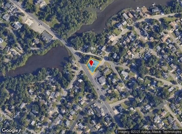
387 Herbertsville Rd, Brick, NJ 08724


NEARBY LISTINGS FOR SALE OR LEASE
Property Detail
387 Herbertsville Rd
New York-Jersey City-White Plains, NY-NJ
Godfrey Manor
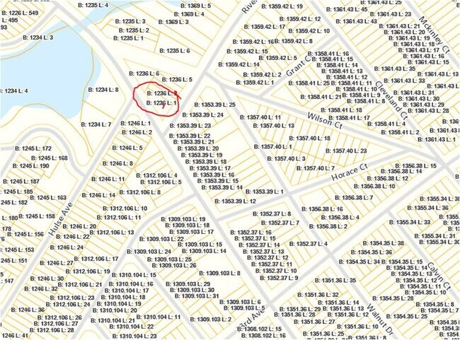
07-01236-0000-00001
100X125 2,3,4,5
Commercialnec
Ocean
X
New Jersey
34025C0455F
1
2024
0.29 AC
2025
Ocean County
713100
Northern New Jersey
DEMOGRAPHICS near 387 Herbertsville Rd
1 Mile
3 Mile
5 Mile
2024 Total Population
9,417
77,225
148,142
2029 Population
9,915
80,438
155,167
Pop Growth 2024-2029
+ 5.29%
+ 4.16%
+ 4.74%
Average Age
41
42
41
2024 Total Households
3,661
29,707
55,482
HH Growth 2024-2029
+ 4.64%
+ 3.75%
+ 4.52%
Median Household Inc
$88,363
$98,837
$100,504
Avg Household Size
2.40
2.50
2.50
2024 Avg HH Vehicles
2.00
2.00
2.00
Median Home Value
$324,408
$392,945
$430,658
Median Year Built
1974
1974
1974
Nearby Places
Map Layers
Map Styles
 Street
 Aerial
- Restaurants
- Banks
- Shops
- Fitness
- Groceries
PUBLIC TRANSPORTATION
COMMUTER RAIL
Manasquan (North Jersey Coast Line - NJ Transit Commuter Rail (NJ Transit))
DRIVE
WALK
Distance
Manasquan (North Jersey Coast Line - NJ Transit Commuter Rail (NJ Transit))
7 min
4.8 mi
Point Pleasant Beach (North Jersey Coast Line - NJ Transit Commuter Rail (NJ Transit))
DRIVE
WALK
Distance
Point Pleasant Beach (North Jersey Coast Line - NJ Transit Commuter Rail (NJ Transit))
8 min
5.2 mi
Freight Ports
New York Container Terminal
DRIVE
WALK
Distance
New York Container Terminal
65 min
50.3 mi
SALE & LEASE HISTORY
LISTING DATE
SALE/LEASE

May 06, 2020
For Sale
Nearby Properties
Address
Land Use
TOTAL SIZE
Lot Size
Zoning
Address
Land Use
TOTAL SIZE
Lot Size
Zoning
22.88 AC
HS
Address
Land Use
TOTAL SIZE
Lot Size
Zoning
21,850 SF
30.98 AC
R-1A
Address
Land Use
TOTAL SIZE
Lot Size
Zoning
34,337 SF
99.30 AC
R-1
Address
Land Use
TOTAL SIZE
Lot Size
Zoning
49.57 AC
RR1
Address
Land Use
TOTAL SIZE
Lot Size
Zoning
64,757 SF
11.81 AC
MLHB
Address
Land Use
TOTAL SIZE
Lot Size
Zoning
26.37 AC
R75
Address
Land Use
TOTAL SIZE
Lot Size
Zoning
39.84 AC
OPT
Address
Land Use
TOTAL SIZE
Lot Size
Zoning
84,297 SF
42.37 AC
CR40
Address
Land Use
TOTAL SIZE
Lot Size
Zoning
26.43 AC
B3
Address
Land Use
TOTAL SIZE
Lot Size
Zoning
162,000 SF
34.35 AC
ARE2
Address
Land Use
TOTAL SIZE
Lot Size
Zoning
3,792 SF
7.64 AC
R-1A
Address
Land Use
TOTAL SIZE
Lot Size
Zoning
115,960 SF
17.93 AC
OR-5
Address
Land Use
TOTAL SIZE
Lot Size
Zoning
5.53 AC
R-5
Address
Land Use
TOTAL SIZE
Lot Size
Zoning
10.52 AC
R-5
Address
Land Use
TOTAL SIZE
Lot Size
Zoning
13.21 AC
HD12
Address
Land Use
TOTAL SIZE
Lot Size
Zoning
14.38 AC
B3
Address
Land Use
TOTAL SIZE
Lot Size
Zoning
18.39 AC
B3
Address
Land Use
TOTAL SIZE
Lot Size
Zoning
75,697 SF
12.46 AC
R-3
Address
Land Use
TOTAL SIZE
Lot Size
Zoning
21 AC
ROS
Address
Land Use
TOTAL SIZE
Lot Size
Zoning
296.61 AC
POS
Address
Land Use
TOTAL SIZE
Lot Size
Zoning
5.09 AC
HS
Address
Land Use
TOTAL SIZE
Lot Size
Zoning
128,164 SF
12.94 AC
OR-5
Address
Land Use
TOTAL SIZE
Lot Size
Zoning
21.36 AC
RM
Address
Land Use
TOTAL SIZE
Lot Size
Zoning
16.85 AC
B2
Address
Land Use
TOTAL SIZE
Lot Size
Zoning
40.43 AC
R-1
Address
Land Use
TOTAL SIZE
Lot Size
Zoning
1,140 SF
14 AC
GC
Address
Land Use
TOTAL SIZE
Lot Size
Zoning
24.14 AC
RR1
Address
Land Use
TOTAL SIZE
Lot Size
Zoning
23,964 SF
4.55 AC
W
Address
Land Use
TOTAL SIZE
Lot Size
Zoning
3.05 AC
HC
Address
Land Use
TOTAL SIZE
Lot Size
Zoning
86,484 SF
7.25 AC
GC
The World's #1 Commercial Real Estate Marketplace
Connect with us
© 2025 CoStar Group
The information above has been obtained from sources believed reliable. While we do not doubt its accuracy we have not verified it and make no guarantee, warranty or representation about it. It is your responsibility to independently confirm its accuracy and completeness. Any projections, opinions, assumptions, or estimates used are for example only and do not represent the current or future performance of the property. The value of this transaction to you depends on tax and other factors which should be evaluated by your tax, financial, and legal advisors. You and your advisors should conduct a careful, independent investigation of the property to determine to your satisfaction the suitability of the property for your needs.