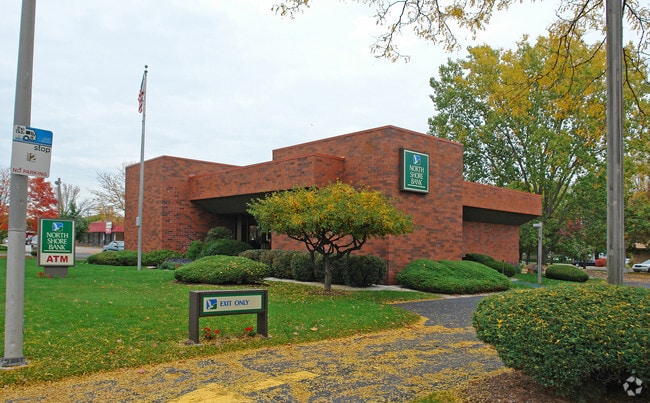
Property Record
3911 N Main St, Racine, WI 53402


Property Detail
3911 N Main St
Racine-Mount Pleasant, WI
BLK 3 GREATER NORTH BAY ADD NO 2 LOT 4, S 75 FT LOT 3, W 20 FT LOT 5 + W 20 FT OF S 75 FT LOT 6
276-000004690004
Racine
Commercialnec
Wisconsin
B and X Area of moderate flood hazard, usually the area between the limits of the 100-year and 500-year floods.
4
2025
0.79 AC
2025
Racine East
001402
Milwaukee/Madison
2,915 SF
NEARBY LISTINGS FOR SALE OR LEASE
DEMOGRAPHICS near 3911 N Main St
1 mile
3 mile
5 mile
2025 Total Population
9,320
45,016
99,984
2030 Population
9,379
45,413
100,694
Pop Growth 2025-2030
+ 0.63%
+ 0.88%
+ 0.71%
Average Age
41
39
40
2025 Total Households
3,936
18,113
40,364
HH Growth 2025-2030
+ 0.66%
+ 0.89%
+ 0.72%
Median Household Inc
$64,380
$61,601
$65,709
Avg Household Size
2.30
2.40
2.40
2025 Avg HH Vehicles
2.00
2.00
2.00
Median Home Value
$237,500
$211,551
$199,764
Median Year Built
1965
1960
1958
Nearby Places
Map Layers
Map Styles
 Street
 Aerial
Layers
 Traffic
 Biking
Places
Listings with unknown addresses are not visible on the map
- Restaurants
- Banks
- Shops
- Fitness
- Groceries
PUBLIC TRANSPORTATION
AIRPORT
General Mitchell International
Drive
Walk
Distance
General Mitchell International
32 min
17.5 mi
Freight Ports
Port Milwaukee
Drive
Walk
Distance
Port Milwaukee
37 min
23.5 mi
Nearby Properties
Address
Land Use
TOTAL SIZE
Lot Size
Zoning
Address
Land Use
TOTAL SIZE
Lot Size
Zoning
Address
Land Use
TOTAL SIZE
Lot Size
Zoning
180,831 SF
1.49 AC
B4
Address
Land Use
TOTAL SIZE
Lot Size
Zoning
24.48 AC
Address
Land Use
TOTAL SIZE
Lot Size
Zoning
9,982 SF
0.39 AC
B4
Address
Land Use
TOTAL SIZE
Lot Size
Zoning
94.35 AC
Address
Land Use
TOTAL SIZE
Lot Size
Zoning
9.18 AC
Address
Land Use
TOTAL SIZE
Lot Size
Zoning
3.54 AC
B4
Address
Land Use
TOTAL SIZE
Lot Size
Zoning
Address
Land Use
TOTAL SIZE
Lot Size
Zoning
Address
Land Use
TOTAL SIZE
Lot Size
Zoning
Address
Land Use
TOTAL SIZE
Lot Size
Zoning
Address
Land Use
TOTAL SIZE
Lot Size
Zoning
23.15 AC
I2
Address
Land Use
TOTAL SIZE
Lot Size
Zoning
8.06 AC
Address
Land Use
TOTAL SIZE
Lot Size
Zoning
12.10 AC
I2
Address
Land Use
TOTAL SIZE
Lot Size
Zoning
44,439 SF
1.75 AC
B4
Address
Land Use
TOTAL SIZE
Lot Size
Zoning
10.50 AC
Address
Land Use
TOTAL SIZE
Lot Size
Zoning
91,381 SF
6.62 AC
B2
Address
Land Use
TOTAL SIZE
Lot Size
Zoning
122,640 SF
8.27 AC
R4
Address
Land Use
TOTAL SIZE
Lot Size
Zoning
71,184 SF
1.05 AC
B4
Address
Land Use
TOTAL SIZE
Lot Size
Zoning
78,748 SF
0.88 AC
I2
Address
Land Use
TOTAL SIZE
Lot Size
Zoning
5.53 AC
R4
Address
Land Use
TOTAL SIZE
Lot Size
Zoning
6.77 AC
I2IP
Address
Land Use
TOTAL SIZE
Lot Size
Zoning
93,000 SF
3.58 AC
R4
Address
Land Use
TOTAL SIZE
Lot Size
Zoning
95,831 SF
1 AC
B4
Address
Land Use
TOTAL SIZE
Lot Size
Zoning
148.72 AC
Address
Land Use
TOTAL SIZE
Lot Size
Zoning
4,239 SF
349.70 AC
I2
Address
Land Use
TOTAL SIZE
Lot Size
Zoning
Address
Land Use
TOTAL SIZE
Lot Size
Zoning
21.22 AC
Address
Land Use
TOTAL SIZE
Lot Size
Zoning
24,180 SF
2.20 AC
B2
Address
Land Use
TOTAL SIZE
Lot Size
Zoning
56,009 SF
0.26 AC
B4
The World's #1 Commercial Real Estate Marketplace
Connect with us
© 2026 CoStar Group
The information above has been obtained from sources believed reliable. While we do not doubt its accuracy we have not verified it and make no guarantee, warranty or representation about it. It is your responsibility to independently confirm its accuracy and completeness. Any projections, opinions, assumptions, or estimates used are for example only and do not represent the current or future performance of the property. The value of this transaction to you depends on tax and other factors which should be evaluated by your tax, financial, and legal advisors. You and your advisors should conduct a careful, independent investigation of the property to determine to your satisfaction the suitability of the property for your needs.