Property Record
3919 Saint Augustine Rd, Jacksonville, FL 32207


Property Detail
3919 Saint Augustine Rd
126162-0010
AD-764 31-2S-27E 2.49 MOSES THOMAS HOMESTEAD PT LOTS 4,5 RECD O/RS 18252-1028,20219-1428 (EX PT RECD O/RS 16653-210, 16676-569,17140-2437, 17960-387)
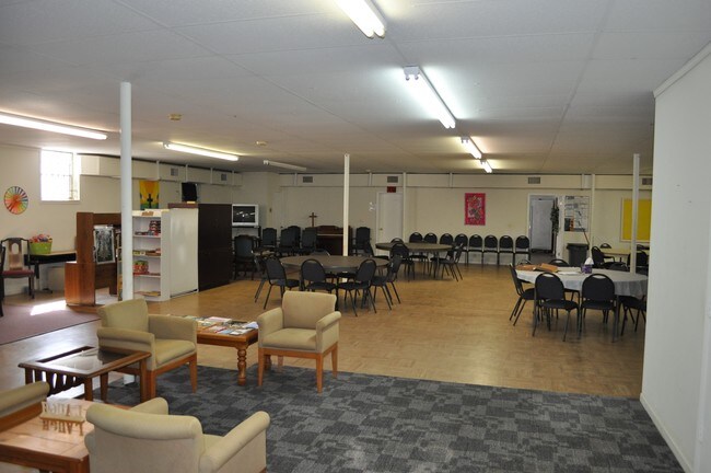
Religious
Duval
RMD-A
Florida
B and X Area of moderate flood hazard, usually the area between the limits of the 100-year and 500-year floods.
4,5
0
2.52 AC
2026
San Marco
016300
Jacksonville (Florida)
6,459 SF
Jacksonville, FL
NEARBY LISTINGS FOR SALE OR LEASE
DEMOGRAPHICS near 3919 Saint Augustine Rd
1 mile
3 mile
5 mile
2025 Total Population
9,499
57,867
187,609
2030 Population
10,046
61,862
200,034
Pop Growth 2025-2030
+ 5.76%
+ 6.90%
+ 6.62%
Average Age
39
40
40
2025 Total Households
3,935
25,029
81,318
HH Growth 2025-2030
+ 6.07%
+ 7.39%
+ 7.04%
Median Household Inc
$65,466
$62,904
$62,944
Avg Household Size
2.40
2.20
2.20
2025 Avg HH Vehicles
2.00
1.00
1.00
Median Home Value
$389,178
$322,353
$324,341
Median Year Built
1957
1967
1968
Nearby Places
Map Layers
Map Styles
 Street
 Aerial
Layers
 Traffic
 Biking
Places
Listings with unknown addresses are not visible on the map
- Restaurants
- Banks
- Shops
- Fitness
- Groceries
SALE & LEASE HISTORY
LISTING DATE
SALE/LEASE

Mar 29, 2017
For Sale
Nearby Properties
Address
Land Use
TOTAL SIZE
Lot Size
Zoning
Address
Land Use
TOTAL SIZE
Lot Size
Zoning
1,086,885 SF
16.34 AC
CCBD
Address
Land Use
TOTAL SIZE
Lot Size
Zoning
442,972 SF
5.33 AC
PUD
Address
Land Use
TOTAL SIZE
Lot Size
Zoning
875,866 SF
22.33 AC
PBF-3
Address
Land Use
TOTAL SIZE
Lot Size
Zoning
831,560 SF
1.16 AC
PUD
Address
Land Use
TOTAL SIZE
Lot Size
Zoning
257,667 SF
3.91 AC
CCBD
Address
Land Use
TOTAL SIZE
Lot Size
Zoning
224,600 SF
3.41 AC
PUD
Address
Land Use
TOTAL SIZE
Lot Size
Zoning
369,638 SF
6.30 AC
CCBD
Address
Land Use
TOTAL SIZE
Lot Size
Zoning
453,728 SF
8.20 AC
CCBD
Address
Land Use
TOTAL SIZE
Lot Size
Zoning
194,877 SF
11.64 AC
CCBD
Address
Land Use
TOTAL SIZE
Lot Size
Zoning
336,623 SF
2.06 AC
CCBD
Address
Land Use
TOTAL SIZE
Lot Size
Zoning
253,858 SF
4.93 AC
PUD
Address
Land Use
TOTAL SIZE
Lot Size
Zoning
146,636 SF
2.88 AC
CCBD
Address
Land Use
TOTAL SIZE
Lot Size
Zoning
250,989 SF
19.48 AC
PUD
Address
Land Use
TOTAL SIZE
Lot Size
Zoning
335,832 SF
6.67 AC
PBF-2
Address
Land Use
TOTAL SIZE
Lot Size
Zoning
211,073 SF
8.99 AC
PUD
Address
Land Use
TOTAL SIZE
Lot Size
Zoning
189,151 SF
3.56 AC
PUD
Address
Land Use
TOTAL SIZE
Lot Size
Zoning
203,763 SF
9.97 AC
PUD
Address
Land Use
TOTAL SIZE
Lot Size
Zoning
155,495 SF
3.01 AC
CCBD
Address
Land Use
TOTAL SIZE
Lot Size
Zoning
181,522 SF
6.56 AC
PUD
Address
Land Use
TOTAL SIZE
Lot Size
Zoning
415,146 SF
19.27 AC
RMD-D
Address
Land Use
TOTAL SIZE
Lot Size
Zoning
304,461 SF
62.44 AC
PBF-2
Address
Land Use
TOTAL SIZE
Lot Size
Zoning
187,581 SF
3.13 AC
PUD
Address
Land Use
TOTAL SIZE
Lot Size
Zoning
286,223 SF
28.01 AC
PBF-2
Address
Land Use
TOTAL SIZE
Lot Size
Zoning
93,059 SF
8.54 AC
CCG-2
Address
Land Use
TOTAL SIZE
Lot Size
Zoning
268,892 SF
3.75 AC
CCBD
Address
Land Use
TOTAL SIZE
Lot Size
Zoning
436,458 SF
6.94 AC
PUD
Address
Land Use
TOTAL SIZE
Lot Size
Zoning
379,026 SF
24.02 AC
PUD
Address
Land Use
TOTAL SIZE
Lot Size
Zoning
341,920 SF
8.56 AC
PUD
Address
Land Use
TOTAL SIZE
Lot Size
Zoning
39,855 SF
0.72 AC
PUD
Address
Land Use
TOTAL SIZE
Lot Size
Zoning
191,207 SF
23.44 AC
IBP
The World's #1 Commercial Real Estate Marketplace
Connect with us
© 2026 CoStar Group
The information above has been obtained from sources believed reliable. While we do not doubt its accuracy we have not verified it and make no guarantee, warranty or representation about it. It is your responsibility to independently confirm its accuracy and completeness. Any projections, opinions, assumptions, or estimates used are for example only and do not represent the current or future performance of the property. The value of this transaction to you depends on tax and other factors which should be evaluated by your tax, financial, and legal advisors. You and your advisors should conduct a careful, independent investigation of the property to determine to your satisfaction the suitability of the property for your needs.