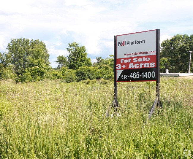
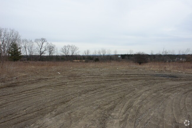
Property Record
392 Maple Rd, Slingerlands, NY 12159

Property Detail
392 Maple Rd
013489-073-000-0004-017-001-0000
1-97-8.1 HIGHWAY GREGORY RESIDENCE
Stripcommercialcenter
Albany
HD-C
New York
B and X Area of moderate flood hazard, usually the area between the limits of the 100-year and 500-year floods.
17.001
2025
3.20 AC
2025
W Outer Albany County
014501
Albany/Schenectady/Troy
8,135 SF
Albany-Schenectady-Troy, NY
NEARBY LISTINGS FOR SALE OR LEASE
DEMOGRAPHICS near 392 Maple Rd
1 mile
3 mile
5 mile
2025 Total Population
885
15,185
62,053
2030 Population
921
15,503
63,411
Pop Growth 2025-2030
+ 4.07%
+ 2.09%
+ 2.19%
Average Age
44
44
43
2025 Total Households
365
6,195
26,446
HH Growth 2025-2030
+ 4.38%
+ 2.29%
+ 2.36%
Median Household Inc
$110,156
$113,147
$102,308
Avg Household Size
2.40
2.40
2.20
2025 Avg HH Vehicles
2.00
2.00
2.00
Median Home Value
$344,791
$375,910
$336,094
Median Year Built
1991
1977
1973
Nearby Places
Map Layers
Map Styles
 Street
 Aerial
Layers
 Traffic
 Biking
Places
Listings with unknown addresses are not visible on the map
- Restaurants
- Banks
- Shops
- Fitness
- Groceries
PUBLIC TRANSPORTATION
COMMUTER RAIL
Albany-Rensselaer Amtrak Station (Adirondack - Amtrak, Empire Service - Amtrak, Ethan Allen Express - Amtrak, Lake Shore Limited - Amtrak, Maple Leaf - Amtrak)
Drive
Walk
Distance
Albany-Rensselaer Amtrak Station (Adirondack - Amtrak, Empire Service - Amtrak, Ethan Allen Express - Amtrak, Lake Shore Limited - Amtrak, Maple Leaf - Amtrak)
20 min
9.7 mi
AIRPORT
Albany International
Drive
Walk
Distance
Albany International
27 min
13.9 mi
Freight Ports
Albany, NY Port
Drive
Walk
Distance
Albany, NY Port
17 min
9.5 mi
Nearby Properties
Address
Land Use
TOTAL SIZE
Lot Size
Zoning
Address
Land Use
TOTAL SIZE
Lot Size
Zoning
349,516 SF
22.61 AC
MED
Address
Land Use
TOTAL SIZE
Lot Size
Zoning
79.50 AC
IND
Address
Land Use
TOTAL SIZE
Lot Size
Zoning
315,680 SF
73.80 AC
RA
Address
Land Use
TOTAL SIZE
Lot Size
Zoning
18,390 SF
15.52 AC
PDD
Address
Land Use
TOTAL SIZE
Lot Size
Zoning
140,609 SF
14.50 AC
CR
Address
Land Use
TOTAL SIZE
Lot Size
Zoning
11,516 SF
131 AC
RA3
Address
Land Use
TOTAL SIZE
Lot Size
Zoning
69,106 SF
7.80 AC
MED
Address
Land Use
TOTAL SIZE
Lot Size
Zoning
72,741 SF
12.92 AC
CH
Address
Land Use
TOTAL SIZE
Lot Size
Zoning
43,196 SF
12.40 AC
CH
Address
Land Use
TOTAL SIZE
Lot Size
Zoning
17,388 SF
8.10 AC
PDD
Address
Land Use
TOTAL SIZE
Lot Size
Zoning
69,574 SF
21.69 AC
RA
Address
Land Use
TOTAL SIZE
Lot Size
Zoning
87,773 SF
29.40 AC
RH
Address
Land Use
TOTAL SIZE
Lot Size
Zoning
63,740 SF
3 AC
V1
Address
Land Use
TOTAL SIZE
Lot Size
Zoning
13,380 SF
9.20 AC
H
Address
Land Use
TOTAL SIZE
Lot Size
Zoning
47,499 SF
4.90 AC
CH
Address
Land Use
TOTAL SIZE
Lot Size
Zoning
14,028 SF
5.80 AC
PDD
Address
Land Use
TOTAL SIZE
Lot Size
Zoning
10,882 SF
6.09 AC
H
Address
Land Use
TOTAL SIZE
Lot Size
Zoning
2,592 SF
244.23 AC
RA
Address
Land Use
TOTAL SIZE
Lot Size
Zoning
78,295 SF
44.50 AC
V7
Address
Land Use
TOTAL SIZE
Lot Size
Zoning
9,175 SF
0.01 AC
PDD
Address
Land Use
TOTAL SIZE
Lot Size
Zoning
12,718 SF
1.40 AC
H
Address
Land Use
TOTAL SIZE
Lot Size
Zoning
15,268 SF
2.37 AC
MED
Address
Land Use
TOTAL SIZE
Lot Size
Zoning
14,028 SF
2 AC
PDD
Address
Land Use
TOTAL SIZE
Lot Size
Zoning
21,400 SF
2.80 AC
CR
Address
Land Use
TOTAL SIZE
Lot Size
Zoning
24,629 SF
2.50 AC
CH
Address
Land Use
TOTAL SIZE
Lot Size
Zoning
26,142 SF
198.70 AC
RA
Address
Land Use
TOTAL SIZE
Lot Size
Zoning
3,600 SF
10.16 AC
HD-E
Address
Land Use
TOTAL SIZE
Lot Size
Zoning
8,885 SF
2.33 AC
MED
Address
Land Use
TOTAL SIZE
Lot Size
Zoning
1.02 AC
V2
Address
Land Use
TOTAL SIZE
Lot Size
Zoning
952 SF
23.37 AC
HD-E
The World's #1 Commercial Real Estate Marketplace
Connect with us
© 2026 CoStar Group
The information above has been obtained from sources believed reliable. While we do not doubt its accuracy we have not verified it and make no guarantee, warranty or representation about it. It is your responsibility to independently confirm its accuracy and completeness. Any projections, opinions, assumptions, or estimates used are for example only and do not represent the current or future performance of the property. The value of this transaction to you depends on tax and other factors which should be evaluated by your tax, financial, and legal advisors. You and your advisors should conduct a careful, independent investigation of the property to determine to your satisfaction the suitability of the property for your needs.