Property Record
3920 N Atlantic Ave, Cocoa Beach, FL 32931
NEARBY LISTINGS FOR SALE OR LEASE
Property Detail
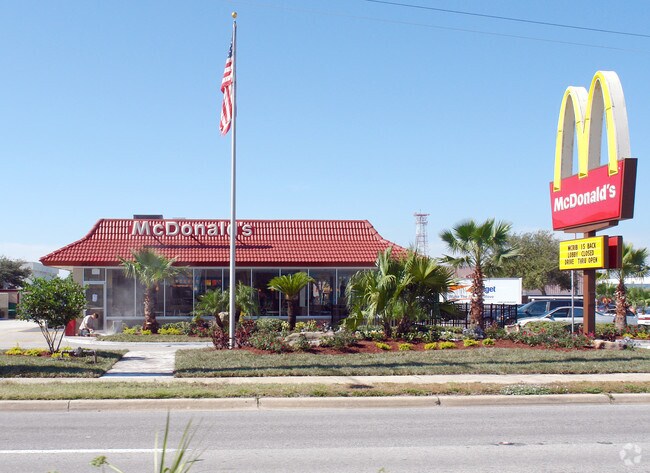
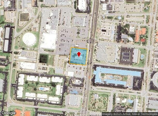
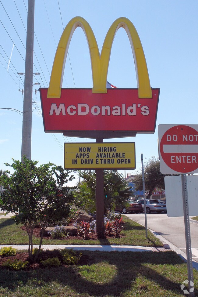
3920 N Atlantic Ave
Palm Bay-Melbourne-Titusville, FL
Cocoa Ocean Beach Subd
24-37-34-CI-00047.0-0001.00
COCOA OCEAN BEACH SUBD LOTS 1,2 & PART OF LOT 3 BLK 47 PART OF LOT 3 BLK 46 & PART OF VACATED BREVARD LANE AS DES IN ORB 1477 PG 824
Restaurantdrivein
Brevard
X
Florida
12009C0451H
1
2024
1.04 AC
2025
Brevard County
071700
Orlando
3,518 SF
DEMOGRAPHICS near 3920 N Atlantic Ave
1 Mile
3 Mile
5 Mile
2024 Total Population
7,379
25,116
43,665
2029 Population
8,603
28,639
49,300
Pop Growth 2024-2029
+ 16.59%
+ 14.03%
+ 12.91%
Average Age
60
55
53
2024 Total Households
4,328
14,178
23,470
HH Growth 2024-2029
+ 16.57%
+ 14.09%
+ 13.14%
Median Household Inc
$77,528
$68,647
$72,724
Avg Household Size
1.70
1.80
1.80
2024 Avg HH Vehicles
1.00
1.00
2.00
Median Home Value
$405,373
$382,432
$374,455
Median Year Built
1979
1979
1980
Nearby Places
Map Layers
Map Styles
 Street
 Aerial
- Restaurants
- Banks
- Shops
- Fitness
- Groceries
PUBLIC TRANSPORTATION
AIRPORT
Melbourne Orlando International
DRIVE
WALK
Distance
Melbourne Orlando International
47 min
22.5 mi
Freight Ports
Port Canaveral
DRIVE
WALK
Distance
Port Canaveral
10 min
4.1 mi
Nearby Properties
Address
Land Use
TOTAL SIZE
Lot Size
Zoning
Address
Land Use
TOTAL SIZE
Lot Size
Zoning
320,279 SF
51.92 AC
PS1
Address
Land Use
TOTAL SIZE
Lot Size
Zoning
111,995 SF
7.23 AC
CT1
Address
Land Use
TOTAL SIZE
Lot Size
Zoning
322,072 SF
90.10 AC
PS1
Address
Land Use
TOTAL SIZE
Lot Size
Zoning
195,045 SF
7.05 AC
CT1
Address
Land Use
TOTAL SIZE
Lot Size
Zoning
109,762 SF
3.32 AC
C1
Address
Land Use
TOTAL SIZE
Lot Size
Zoning
222,527 SF
9.55 AC
C1
Address
Land Use
TOTAL SIZE
Lot Size
Zoning
195,210 SF
10.99 AC
R3
Address
Land Use
TOTAL SIZE
Lot Size
Zoning
107,898 SF
3.41 AC
Address
Land Use
TOTAL SIZE
Lot Size
Zoning
28.30 AC
B1
Address
Land Use
TOTAL SIZE
Lot Size
Zoning
164,552 SF
3.82 AC
R2
Address
Land Use
TOTAL SIZE
Lot Size
Zoning
122,077 SF
4.33 AC
CT1
Address
Land Use
TOTAL SIZE
Lot Size
Zoning
111,708 SF
5.55 AC
CN
Address
Land Use
TOTAL SIZE
Lot Size
Zoning
100,707 SF
1.87 AC
CG
Address
Land Use
TOTAL SIZE
Lot Size
Zoning
83,746 SF
15.11 AC
RM1
Address
Land Use
TOTAL SIZE
Lot Size
Zoning
166,317 SF
12.44 AC
C2
Address
Land Use
TOTAL SIZE
Lot Size
Zoning
125,594 SF
3.20 AC
CT1
Address
Land Use
TOTAL SIZE
Lot Size
Zoning
27,663 SF
1.54 AC
CN
Address
Land Use
TOTAL SIZE
Lot Size
Zoning
103,220 SF
4.88 AC
RM2
Address
Land Use
TOTAL SIZE
Lot Size
Zoning
80,222 SF
5.51 AC
C2
Address
Land Use
TOTAL SIZE
Lot Size
Zoning
75,326 SF
8.33 AC
CN
Address
Land Use
TOTAL SIZE
Lot Size
Zoning
70,330 SF
4.21 AC
CT1
Address
Land Use
TOTAL SIZE
Lot Size
Zoning
81,763 SF
8.54 AC
CN
Address
Land Use
TOTAL SIZE
Lot Size
Zoning
50,747 SF
2.06 AC
CG
Address
Land Use
TOTAL SIZE
Lot Size
Zoning
77,657 SF
10.86 AC
C2
Address
Land Use
TOTAL SIZE
Lot Size
Zoning
52,120 SF
2.47 AC
CN
Address
Land Use
TOTAL SIZE
Lot Size
Zoning
303,078 SF
13.11 AC
CT1
Address
Land Use
TOTAL SIZE
Lot Size
Zoning
51,221 SF
0.47 AC
CG
Address
Land Use
TOTAL SIZE
Lot Size
Zoning
4.48 AC
B1
Address
Land Use
TOTAL SIZE
Lot Size
Zoning
12,300 SF
4.35 AC
R3
Address
Land Use
TOTAL SIZE
Lot Size
Zoning
14,397 SF
3.58 AC
CG
The World's #1 Commercial Real Estate Marketplace
Connect with us
© 2025 CoStar Group
The information above has been obtained from sources believed reliable. While we do not doubt its accuracy we have not verified it and make no guarantee, warranty or representation about it. It is your responsibility to independently confirm its accuracy and completeness. Any projections, opinions, assumptions, or estimates used are for example only and do not represent the current or future performance of the property. The value of this transaction to you depends on tax and other factors which should be evaluated by your tax, financial, and legal advisors. You and your advisors should conduct a careful, independent investigation of the property to determine to your satisfaction the suitability of the property for your needs.