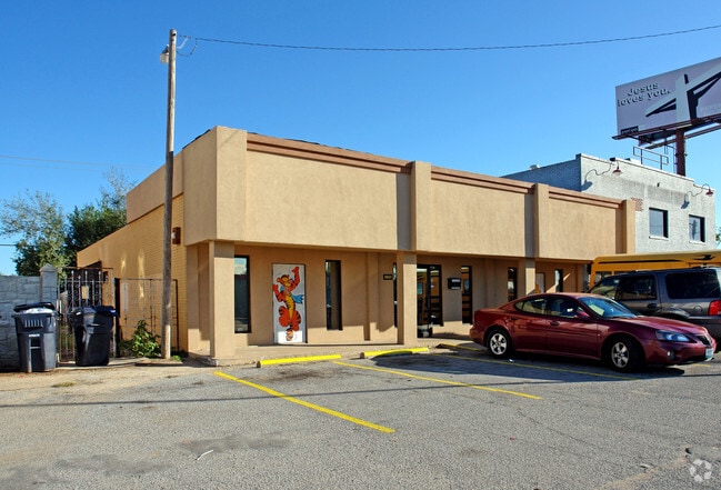
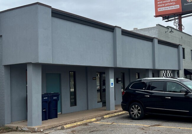
Property Record
3921 Nw 10Th St, Oklahoma City, OK 73107

NEARBY LISTINGS FOR SALE OR LEASE
Property Detail
3921 Nw 10Th St
Oklahoma City, OK
Corbin Park Addition
066238820
CORBIN PARK ADDITION 037 000 LOTS 30 & 31 & W10FT LOT 32
Commercialnec
Oklahoma
X
Oklahoma
40109C0280H
30-32
2023
0.18 AC
2024
West/Central
105907
Oklahoma City
3,000 SF
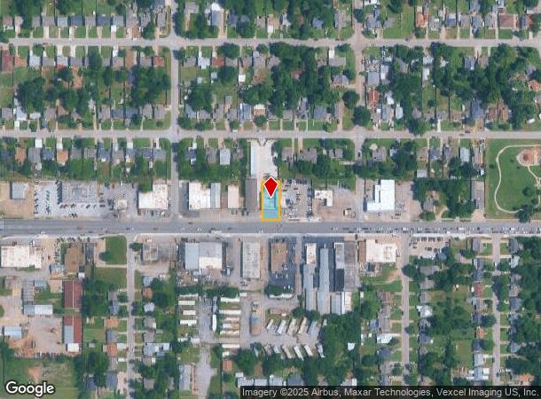
DEMOGRAPHICS near 3921 Nw 10Th St
1 Mile
3 Mile
5 Mile
2024 Total Population
10,723
87,763
224,487
2029 Population
10,980
90,387
231,785
Pop Growth 2024-2029
+ 2.40%
+ 2.99%
+ 3.25%
Average Age
35
36
36
2024 Total Households
4,219
35,284
92,302
HH Growth 2024-2029
+ 2.54%
+ 3.05%
+ 3.32%
Median Household Inc
$45,351
$45,154
$48,151
Avg Household Size
2.50
2.40
2.30
2024 Avg HH Vehicles
2.00
2.00
2.00
Median Home Value
$101,962
$137,472
$147,563
Median Year Built
1953
1960
1961
Nearby Places
Map Layers
Map Styles
 Street
 Aerial
- Restaurants
- Banks
- Shops
- Fitness
- Groceries
PUBLIC TRANSPORTATION
COMMUTER RAIL
DRIVE
WALK
Distance
10 min
6.0 mi
AIRPORT
Will Rogers World
DRIVE
WALK
Distance
Will Rogers World
17 min
7.8 mi
SALE & LEASE HISTORY
LISTING DATE
SALE/LEASE

Oct 31, 2019
For Lease
Nov 19, 2020
For Sale
Nearby Properties
Address
Land Use
TOTAL SIZE
Lot Size
Zoning
Address
Land Use
TOTAL SIZE
Lot Size
Zoning
44,519 SF
3.39 AC
SPUD
Address
Land Use
TOTAL SIZE
Lot Size
Zoning
90,059 SF
14.99 AC
O-2
Address
Land Use
TOTAL SIZE
Lot Size
Zoning
246,774 SF
55.60 AC
PUD
Address
Land Use
TOTAL SIZE
Lot Size
Zoning
195,412 SF
4.42 AC
I-1
Address
Land Use
TOTAL SIZE
Lot Size
Zoning
259,726 SF
19.94 AC
PUD
Address
Land Use
TOTAL SIZE
Lot Size
Zoning
211,626 SF
12.67 AC
PUD
Address
Land Use
TOTAL SIZE
Lot Size
Zoning
279,224 SF
18.75 AC
PUD
Address
Land Use
TOTAL SIZE
Lot Size
Zoning
181,946 SF
4.42 AC
C-4
Address
Land Use
TOTAL SIZE
Lot Size
Zoning
371,946 SF
31.38 AC
I-2
Address
Land Use
TOTAL SIZE
Lot Size
Zoning
336,750 SF
15.53 AC
I-3
Address
Land Use
TOTAL SIZE
Lot Size
Zoning
697,098 SF
88.91 AC
C-3
Address
Land Use
TOTAL SIZE
Lot Size
Zoning
158,150 SF
15.18 AC
I-2
Address
Land Use
TOTAL SIZE
Lot Size
Zoning
141,204 SF
6.10 AC
I-2
Address
Land Use
TOTAL SIZE
Lot Size
Zoning
69,370 SF
O-2
Address
Land Use
TOTAL SIZE
Lot Size
Zoning
246,884 SF
11.64 AC
I-2
Address
Land Use
TOTAL SIZE
Lot Size
Zoning
166,850 SF
9.97 AC
I-2
Address
Land Use
TOTAL SIZE
Lot Size
Zoning
110,391 SF
28.91 AC
I-2
Address
Land Use
TOTAL SIZE
Lot Size
Zoning
223,679 SF
40.52 AC
PUD
Address
Land Use
TOTAL SIZE
Lot Size
Zoning
258,262 SF
15.17 AC
Address
Land Use
TOTAL SIZE
Lot Size
Zoning
217,512 SF
8.79 AC
Address
Land Use
TOTAL SIZE
Lot Size
Zoning
83,312 SF
5.98 AC
PUD
Address
Land Use
TOTAL SIZE
Lot Size
Zoning
83,055 SF
6.25 AC
PUD
Address
Land Use
TOTAL SIZE
Lot Size
Zoning
225,720 SF
9.60 AC
PUD
Address
Land Use
TOTAL SIZE
Lot Size
Zoning
182,948 SF
10 AC
Address
Land Use
TOTAL SIZE
Lot Size
Zoning
239,654 SF
24.50 AC
PUD
Address
Land Use
TOTAL SIZE
Lot Size
Zoning
217,328 SF
11.52 AC
I-3
Address
Land Use
TOTAL SIZE
Lot Size
Zoning
208,038 SF
8.55 AC
PUD
Address
Land Use
TOTAL SIZE
Lot Size
Zoning
187,693 SF
7.67 AC
R-4
Address
Land Use
TOTAL SIZE
Lot Size
Zoning
88,098 SF
5.94 AC
C-4
Address
Land Use
TOTAL SIZE
Lot Size
Zoning
39,860 SF
3.85 AC
I-2
The World's #1 Commercial Real Estate Marketplace
Connect with us
© 2025 CoStar Group
The information above has been obtained from sources believed reliable. While we do not doubt its accuracy we have not verified it and make no guarantee, warranty or representation about it. It is your responsibility to independently confirm its accuracy and completeness. Any projections, opinions, assumptions, or estimates used are for example only and do not represent the current or future performance of the property. The value of this transaction to you depends on tax and other factors which should be evaluated by your tax, financial, and legal advisors. You and your advisors should conduct a careful, independent investigation of the property to determine to your satisfaction the suitability of the property for your needs.