Property Record
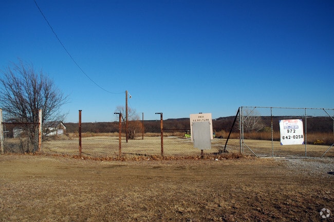
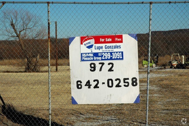
3921 S Belt Line Rd, Grand Prairie, TX 75052
NEARBY LISTINGS FOR SALE OR LEASE
Property Detail
3921 S Belt Line Rd
Dallas-Fort Worth-Arlington, TX
Stephen C Ogwinn
65110317010020000
STEPHEN C OGWINN ABST 1103 P 170 TR 2 ACS 2.01 INT202500100788 DD05152025 CO-DC 1103170100200 5CP11031701
Commercialacreage
Dallas
AE
Texas
48113C0465L
2.01 AC
2024
Grand Prairie
2025
Dallas/Ft Worth
016409
DEMOGRAPHICS near 3921 S Belt Line Rd
1 Mile
3 Mile
5 Mile
2024 Total Population
3,936
71,919
184,142
2029 Population
3,908
71,189
184,538
Pop Growth 2024-2029
(0.71%)
(1.02%)
+ 0.22%
Average Age
39
36
36
2024 Total Households
1,407
22,467
59,023
HH Growth 2024-2029
(0.92%)
(1.20%)
+ 0.14%
Median Household Inc
$102,252
$71,531
$67,447
Avg Household Size
2.80
3.10
3.00
2024 Avg HH Vehicles
2.00
2.00
2.00
Median Home Value
$265,210
$229,196
$222,775
Median Year Built
1993
1989
1987
Nearby Places
Map Layers
Map Styles
 Street
 Aerial
- Restaurants
- Banks
- Shops
- Fitness
- Groceries
PUBLIC TRANSPORTATION
AIRPORT
Dallas Love Field
DRIVE
WALK
Distance
Dallas Love Field
31 min
19.7 mi
Dallas-Fort Worth International
DRIVE
WALK
Distance
Dallas-Fort Worth International
26 min
20.1 mi
Freight Ports
Port of Shreveport
DRIVE
WALK
Distance
Port of Shreveport
222 min
207.5 mi
Nearby Properties
Address
Land Use
TOTAL SIZE
Lot Size
Zoning
Address
Land Use
TOTAL SIZE
Lot Size
Zoning
1,306,700 SF
87.99 AC
Address
Land Use
TOTAL SIZE
Lot Size
Zoning
343,158 SF
18.42 AC
Z236
Address
Land Use
TOTAL SIZE
Lot Size
Zoning
485,300 SF
16.51 AC
Z312
Address
Land Use
TOTAL SIZE
Lot Size
Zoning
428,147 SF
14.45 AC
Z313
Address
Land Use
TOTAL SIZE
Lot Size
Zoning
301,120 SF
14.23 AC
Z313
Address
Land Use
TOTAL SIZE
Lot Size
Zoning
875,800 SF
82.21 AC
Z239
Address
Land Use
TOTAL SIZE
Lot Size
Zoning
350,000 SF
31.28 AC
Z239
Address
Land Use
TOTAL SIZE
Lot Size
Zoning
762,985 SF
74.96 AC
Z239
Address
Land Use
TOTAL SIZE
Lot Size
Zoning
266,460 SF
12 AC
Z313
Address
Land Use
TOTAL SIZE
Lot Size
Zoning
478,110 SF
11.74 AC
Z313
Address
Land Use
TOTAL SIZE
Lot Size
Zoning
247,880 SF
20.93 AC
Z236
Address
Land Use
TOTAL SIZE
Lot Size
Zoning
276,567 SF
14.52 AC
Z236
Address
Land Use
TOTAL SIZE
Lot Size
Zoning
670,880 SF
38.60 AC
Z239
Address
Land Use
TOTAL SIZE
Lot Size
Zoning
663,000 SF
40.70 AC
Z116
Address
Land Use
TOTAL SIZE
Lot Size
Zoning
387,500 SF
13.54 AC
Z313
Address
Land Use
TOTAL SIZE
Lot Size
Zoning
297,393 SF
13.83 AC
Z236
Address
Land Use
TOTAL SIZE
Lot Size
Zoning
252,800 SF
21.59 AC
Z236
Address
Land Use
TOTAL SIZE
Lot Size
Zoning
272,000 SF
8.07 AC
Z313
Address
Land Use
TOTAL SIZE
Lot Size
Zoning
630,000 SF
46 AC
Z239
Address
Land Use
TOTAL SIZE
Lot Size
Zoning
287,697 SF
18.15 AC
Z411
Address
Land Use
TOTAL SIZE
Lot Size
Zoning
214,047 SF
13.78 AC
Z236
Address
Land Use
TOTAL SIZE
Lot Size
Zoning
460,400 SF
28.09 AC
Z236
Address
Land Use
TOTAL SIZE
Lot Size
Zoning
559,500 SF
32.60 AC
Z239
Address
Land Use
TOTAL SIZE
Lot Size
Zoning
274,581 SF
15.55 AC
Z46
Address
Land Use
TOTAL SIZE
Lot Size
Zoning
239,050 SF
8.64 AC
Z313
Address
Land Use
TOTAL SIZE
Lot Size
Zoning
175,484 SF
18.99 AC
Address
Land Use
TOTAL SIZE
Lot Size
Zoning
193,851 SF
8.48 AC
Z312
Address
Land Use
TOTAL SIZE
Lot Size
Zoning
158,430 SF
4.42 AC
Z97
Address
Land Use
TOTAL SIZE
Lot Size
Zoning
186,100 SF
11.12 AC
Address
Land Use
TOTAL SIZE
Lot Size
Zoning
441,000 SF
21.47 AC
Z239
The World's #1 Commercial Real Estate Marketplace
Connect with us
© 2025 CoStar Group
The information above has been obtained from sources believed reliable. While we do not doubt its accuracy we have not verified it and make no guarantee, warranty or representation about it. It is your responsibility to independently confirm its accuracy and completeness. Any projections, opinions, assumptions, or estimates used are for example only and do not represent the current or future performance of the property. The value of this transaction to you depends on tax and other factors which should be evaluated by your tax, financial, and legal advisors. You and your advisors should conduct a careful, independent investigation of the property to determine to your satisfaction the suitability of the property for your needs.