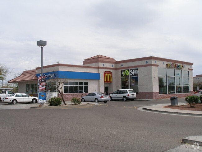
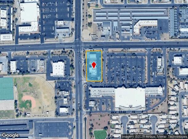
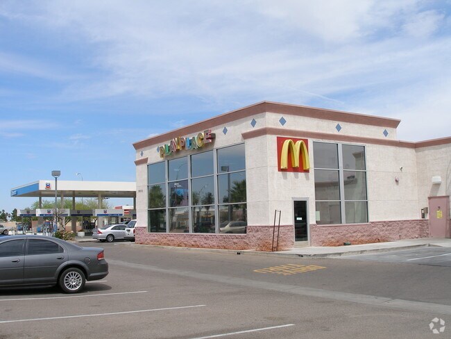
Property Record
3925 N 107Th Ave, Avondale, AZ 85392
NEARBY LISTINGS FOR SALE OR LEASE
Property Detail
3925 N 107Th Ave
Phoenix-Mesa-Scottsdale, AZ
Frys Avondale Plaza
102-27-729
FRYS AVONDALE PLAZA MCR 476-09
Restaurantdrivein
Maricopa
X
Arizona
04013C2160M
1
2025
1.20 AC
2025
Loop 101/I-10
082021
Phoenix
6,488 SF
DEMOGRAPHICS near 3925 N 107Th Ave
1 Mile
3 Mile
5 Mile
2024 Total Population
17,037
105,819
300,089
2029 Population
18,351
115,018
325,363
Pop Growth 2024-2029
+ 7.71%
+ 8.69%
+ 8.42%
Average Age
35
34
34
2024 Total Households
5,251
32,497
91,102
HH Growth 2024-2029
+ 7.87%
+ 8.85%
+ 8.61%
Median Household Inc
$79,135
$74,495
$71,920
Avg Household Size
3.20
3.20
3.20
2024 Avg HH Vehicles
2.00
2.00
2.00
Median Home Value
$284,936
$297,726
$303,432
Median Year Built
1993
2000
1998
Nearby Places
Map Layers
Map Styles
 Street
 Aerial
- Restaurants
- Banks
- Shops
- Fitness
- Groceries
PUBLIC TRANSPORTATION
AIRPORT
Phoenix Sky Harbor International
DRIVE
WALK
Distance
Phoenix Sky Harbor International
30 min
21.2 mi
Nearby Properties
Address
Land Use
TOTAL SIZE
Lot Size
Zoning
Address
Land Use
TOTAL SIZE
Lot Size
Zoning
1,449,251 SF
25.30 AC
A1
Address
Land Use
TOTAL SIZE
Lot Size
Zoning
12.04 AC
Address
Land Use
TOTAL SIZE
Lot Size
Zoning
896,916 SF
25.91 AC
C-C
Address
Land Use
TOTAL SIZE
Lot Size
Zoning
Address
Land Use
TOTAL SIZE
Lot Size
Zoning
Address
Land Use
TOTAL SIZE
Lot Size
Zoning
74,628 SF
2.74 AC
PAD
Address
Land Use
TOTAL SIZE
Lot Size
Zoning
177,052 SF
2.69 AC
THEBLVDD
Address
Land Use
TOTAL SIZE
Lot Size
Zoning
687,993 SF
48.80 AC
Address
Land Use
TOTAL SIZE
Lot Size
Zoning
287,294 SF
67.46 AC
PAD
Address
Land Use
TOTAL SIZE
Lot Size
Zoning
533,718 SF
36.10 AC
PAD
Address
Land Use
TOTAL SIZE
Lot Size
Zoning
587,843 SF
20.49 AC
PAD
Address
Land Use
TOTAL SIZE
Lot Size
Zoning
296,791 SF
35 AC
PAD
Address
Land Use
TOTAL SIZE
Lot Size
Zoning
258,097 SF
32.53 AC
AG
Address
Land Use
TOTAL SIZE
Lot Size
Zoning
369,413 SF
16.39 AC
THEBLVDD
Address
Land Use
TOTAL SIZE
Lot Size
Zoning
660,838 SF
29.28 AC
C2
Address
Land Use
TOTAL SIZE
Lot Size
Zoning
185,870 SF
125.41 AC
S1
Address
Land Use
TOTAL SIZE
Lot Size
Zoning
432,022 SF
19.33 AC
PAD
Address
Land Use
TOTAL SIZE
Lot Size
Zoning
628,480 SF
34.45 AC
PAD
Address
Land Use
TOTAL SIZE
Lot Size
Zoning
660,980 SF
40.15 AC
Address
Land Use
TOTAL SIZE
Lot Size
Zoning
531,110 SF
124.24 AC
I-1
Address
Land Use
TOTAL SIZE
Lot Size
Zoning
269,894 SF
22.73 AC
R3A
Address
Land Use
TOTAL SIZE
Lot Size
Zoning
370,522 SF
9.45 AC
Address
Land Use
TOTAL SIZE
Lot Size
Zoning
409,088 SF
21.34 AC
PAD
Address
Land Use
TOTAL SIZE
Lot Size
Zoning
353,155 SF
16.80 AC
M-H
Address
Land Use
TOTAL SIZE
Lot Size
Zoning
1.05 AC
Address
Land Use
TOTAL SIZE
Lot Size
Zoning
409,017 SF
14.30 AC
Address
Land Use
TOTAL SIZE
Lot Size
Zoning
340,061 SF
15.50 AC
M-H
Address
Land Use
TOTAL SIZE
Lot Size
Zoning
274,700 SF
23.23 AC
PAD
Address
Land Use
TOTAL SIZE
Lot Size
Zoning
109,856 SF
25.18 AC
R-43
Address
Land Use
TOTAL SIZE
Lot Size
Zoning
252,543 SF
10.85 AC
PAD
The World's #1 Commercial Real Estate Marketplace
Connect with us
© 2025 CoStar Group
The information above has been obtained from sources believed reliable. While we do not doubt its accuracy we have not verified it and make no guarantee, warranty or representation about it. It is your responsibility to independently confirm its accuracy and completeness. Any projections, opinions, assumptions, or estimates used are for example only and do not represent the current or future performance of the property. The value of this transaction to you depends on tax and other factors which should be evaluated by your tax, financial, and legal advisors. You and your advisors should conduct a careful, independent investigation of the property to determine to your satisfaction the suitability of the property for your needs.