Property Record
3937 Turnpike Rd, Portsmouth, VA 23701
NEARBY LISTINGS FOR SALE OR LEASE
Property Detail
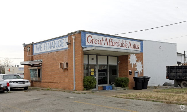
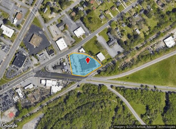
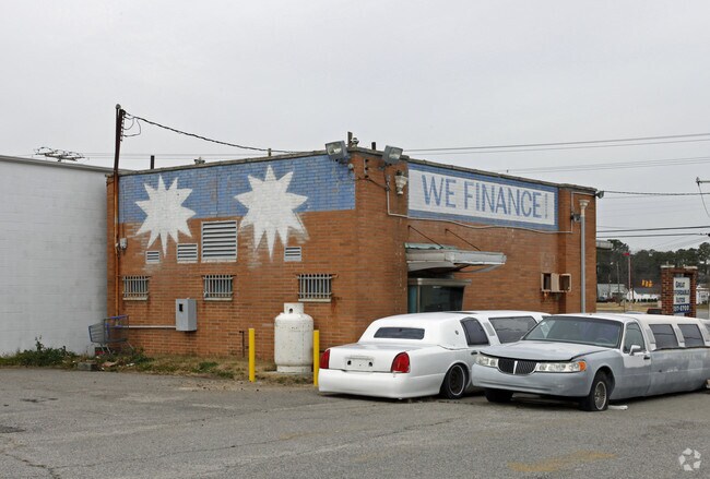
3937 Turnpike Rd
0342-0061
Commercial District 4
Vehiclerentalsvehiclesales
PARCEL B PT 3 ACRES TURNPIKE RD
X
Portsmouth
5155290078D
Virginia
2024
1.30 AC
2025
Mid-City
211600
Hampton Roads
17,501 SF
Virginia Beach-Norfolk-Newport News, VA-NC
DEMOGRAPHICS near 3937 Turnpike Rd
1 Mile
3 Mile
5 Mile
2024 Total Population
10,290
87,965
188,279
2029 Population
10,284
88,185
189,930
Pop Growth 2024-2029
(0.06%)
+ 0.25%
+ 0.88%
Average Age
37
38
38
2024 Total Households
4,182
34,668
76,004
HH Growth 2024-2029
(0.10%)
+ 0.19%
+ 0.64%
Median Household Inc
$50,771
$54,862
$63,420
Avg Household Size
2.40
2.40
2.40
2024 Avg HH Vehicles
2.00
2.00
2.00
Median Home Value
$171,077
$194,675
$237,990
Median Year Built
1958
1964
1971
Nearby Places
Map Layers
Map Styles
 Street
 Aerial
- Restaurants
- Banks
- Shops
- Fitness
- Groceries
PUBLIC TRANSPORTATION
COMMUTER RAIL
DRIVE
WALK
Distance
11 min
5.6 mi
AIRPORT
Norfolk International
DRIVE
WALK
Distance
Norfolk International
24 min
12.0 mi
Newport News/Williamsburg International
DRIVE
WALK
Distance
Newport News/Williamsburg International
47 min
31.1 mi
Freight Ports
Virginia Port Authority - Portsmouth
DRIVE
WALK
Distance
Virginia Port Authority - Portsmouth
11 min
3.7 mi
Nearby Properties
Address
Land Use
TOTAL SIZE
Lot Size
Zoning
Address
Land Use
TOTAL SIZE
Lot Size
Zoning
250,000 SF
38 AC
MUH
Address
Land Use
TOTAL SIZE
Lot Size
Zoning
300,829 SF
38.40 AC
IL
Address
Land Use
TOTAL SIZE
Lot Size
Zoning
482.38 AC
MULTI: MUL
Address
Land Use
TOTAL SIZE
Lot Size
Zoning
250,766 SF
31.14 AC
NMU
Address
Land Use
TOTAL SIZE
Lot Size
Zoning
406,344 SF
8.45 AC
GMU
Address
Land Use
TOTAL SIZE
Lot Size
Zoning
1,684 SF
23.36 AC
RMF1: MULT
Address
Land Use
TOTAL SIZE
Lot Size
Zoning
120,471 SF
10.32 AC
M1: LIGHT
Address
Land Use
TOTAL SIZE
Lot Size
Zoning
295,000 SF
27.89 AC
M1: LIGHT
Address
Land Use
TOTAL SIZE
Lot Size
Zoning
133,380 SF
6.20 AC
NMU
Address
Land Use
TOTAL SIZE
Lot Size
Zoning
121,200 SF
9.81 AC
PUD: PLANN
Address
Land Use
TOTAL SIZE
Lot Size
Zoning
70,224 SF
55.69 AC
IN
Address
Land Use
TOTAL SIZE
Lot Size
Zoning
274,700 SF
24.69 AC
UR
Address
Land Use
TOTAL SIZE
Lot Size
Zoning
3.61 AC
GMU
Address
Land Use
TOTAL SIZE
Lot Size
Zoning
143,220 SF
44.78 AC
M1: LIGHT
Address
Land Use
TOTAL SIZE
Lot Size
Zoning
79,259 SF
18.87 AC
UR
Address
Land Use
TOTAL SIZE
Lot Size
Zoning
201,989 SF
20.08 AC
GMU
Address
Land Use
TOTAL SIZE
Lot Size
Zoning
85,266 SF
10.10 AC
M1: LIGHT
Address
Land Use
TOTAL SIZE
Lot Size
Zoning
81,165 SF
23.07 AC
UR
Address
Land Use
TOTAL SIZE
Lot Size
Zoning
291,454 SF
24.68 AC
URM
Address
Land Use
TOTAL SIZE
Lot Size
Zoning
205,470 SF
12.39 AC
URM
Address
Land Use
TOTAL SIZE
Lot Size
Zoning
58,680 SF
8.84 AC
UR
Address
Land Use
TOTAL SIZE
Lot Size
Zoning
387,092 SF
55.92 AC
URM
Address
Land Use
TOTAL SIZE
Lot Size
Zoning
193,534 SF
17.99 AC
M1: LIGHT
Address
Land Use
TOTAL SIZE
Lot Size
Zoning
212,100 SF
10.14 AC
SD
Address
Land Use
TOTAL SIZE
Lot Size
Zoning
110,707 SF
17.95 AC
URM
Address
Land Use
TOTAL SIZE
Lot Size
Zoning
197,533 SF
15 AC
M1: LIGHT
Address
Land Use
TOTAL SIZE
Lot Size
Zoning
98,715 SF
20.64 AC
UR
Address
Land Use
TOTAL SIZE
Lot Size
Zoning
155,750 SF
12.01 AC
URM
Address
Land Use
TOTAL SIZE
Lot Size
Zoning
97,012 SF
5.40 AC
URM
Address
Land Use
TOTAL SIZE
Lot Size
Zoning
123,541 SF
12.58 AC
GMU
The World's #1 Commercial Real Estate Marketplace
Connect with us
© 2025 CoStar Group
The information above has been obtained from sources believed reliable. While we do not doubt its accuracy we have not verified it and make no guarantee, warranty or representation about it. It is your responsibility to independently confirm its accuracy and completeness. Any projections, opinions, assumptions, or estimates used are for example only and do not represent the current or future performance of the property. The value of this transaction to you depends on tax and other factors which should be evaluated by your tax, financial, and legal advisors. You and your advisors should conduct a careful, independent investigation of the property to determine to your satisfaction the suitability of the property for your needs.