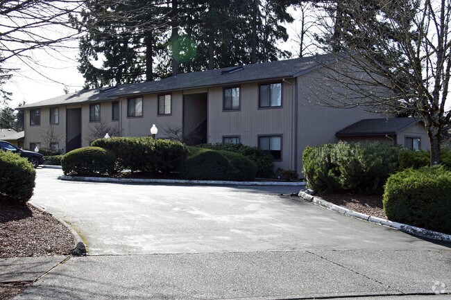
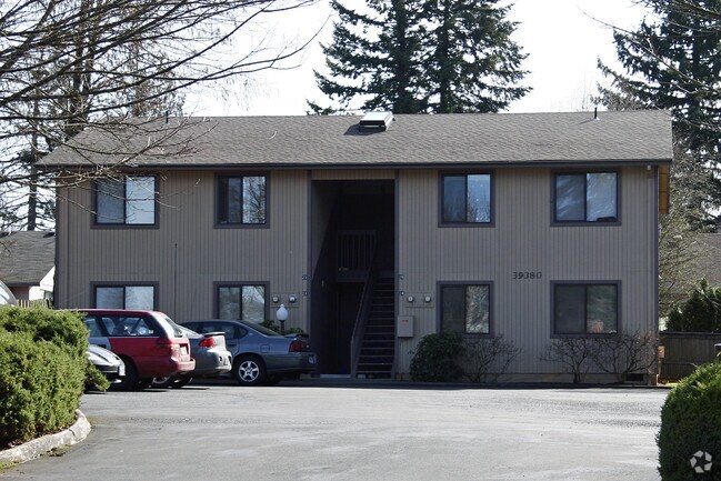
Property Record
39350 Gary St, Sandy, OR 97055

Property Detail
39350 Gary St
Portland-Vancouver-Hillsboro, OR-WA
2358 PARK CREST #5 LT 2
00664506
Clackamas
Multifamilydwelling
Oregon
R3
2
B and X Area of moderate flood hazard, usually the area between the limits of the 100-year and 500-year floods.
0.90 AC
2025
Outlying Clackamas County
2025
Portland
023403
NEARBY LISTINGS FOR SALE OR LEASE
-
-
View all Sandy listings for sale on LoopNet.com
DEMOGRAPHICS near 39350 Gary St
1 mile
3 mile
5 mile
2025 Total Population
10,294
17,710
25,124
2030 Population
10,393
17,840
25,198
Pop Growth 2025-2030
+ 0.96%
+ 0.73%
+ 0.29%
Average Age
38
39
41
2025 Total Households
3,759
6,364
9,042
HH Growth 2025-2030
+ 0.90%
+ 0.69%
+ 0.29%
Median Household Inc
$105,368
$107,267
$104,728
Avg Household Size
2.70
2.70
2.70
2025 Avg HH Vehicles
2.00
2.00
3.00
Median Home Value
$453,317
$478,689
$515,837
Median Year Built
1999
1997
1990
Nearby Places
Map Layers
Map Styles
 Street
 Aerial
Transit
 Traffic
 Biking
Places
Listings with unknown addresses are not visible on the map
- Restaurants
- Banks
- Shops
- Fitness
- Groceries
PUBLIC TRANSPORTATION
AIRPORT
Portland International
Drive
Walk
Distance
Portland International
44 min
25.8 mi
Freight Ports
Port of Portland
Drive
Walk
Distance
Port of Portland
51 min
31.3 mi
Nearby Properties
Address
Land Use
TOTAL SIZE
Lot Size
Zoning
Address
Land Use
TOTAL SIZE
Lot Size
Zoning
1,931 SF
8.91 AC
C2
Address
Land Use
TOTAL SIZE
Lot Size
Zoning
5.73 AC
R3
Address
Land Use
TOTAL SIZE
Lot Size
Zoning
5 AC
R3
Address
Land Use
TOTAL SIZE
Lot Size
Zoning
2.66 AC
C2
Address
Land Use
TOTAL SIZE
Lot Size
Zoning
3.16 AC
R2
Address
Land Use
TOTAL SIZE
Lot Size
Zoning
6.45 AC
C2
Address
Land Use
TOTAL SIZE
Lot Size
Zoning
0.41 AC
C1
Address
Land Use
TOTAL SIZE
Lot Size
Zoning
4 AC
C2
Address
Land Use
TOTAL SIZE
Lot Size
Zoning
2.49 AC
C2
Address
Land Use
TOTAL SIZE
Lot Size
Zoning
6.80 AC
I1
Address
Land Use
TOTAL SIZE
Lot Size
Zoning
10.66 AC
I2
Address
Land Use
TOTAL SIZE
Lot Size
Zoning
Address
Land Use
TOTAL SIZE
Lot Size
Zoning
2,925 SF
4 AC
C2
Address
Land Use
TOTAL SIZE
Lot Size
Zoning
1.58 AC
C1
Address
Land Use
TOTAL SIZE
Lot Size
Zoning
0.56 AC
C2
Address
Land Use
TOTAL SIZE
Lot Size
Zoning
2.63 AC
I1
Address
Land Use
TOTAL SIZE
Lot Size
Zoning
2,460 SF
2.03 AC
R3
Address
Land Use
TOTAL SIZE
Lot Size
Zoning
0.47 AC
C2
Address
Land Use
TOTAL SIZE
Lot Size
Zoning
9,797 SF
6.82 AC
C2
Address
Land Use
TOTAL SIZE
Lot Size
Zoning
Address
Land Use
TOTAL SIZE
Lot Size
Zoning
1,456 SF
1.97 AC
R3
Address
Land Use
TOTAL SIZE
Lot Size
Zoning
942 SF
0.65 AC
C1
Address
Land Use
TOTAL SIZE
Lot Size
Zoning
1.56 AC
C2
Address
Land Use
TOTAL SIZE
Lot Size
Zoning
3 AC
C2
Address
Land Use
TOTAL SIZE
Lot Size
Zoning
3.83 AC
I1
Address
Land Use
TOTAL SIZE
Lot Size
Zoning
0.83 AC
C1
Address
Land Use
TOTAL SIZE
Lot Size
Zoning
3,192 SF
2.18 AC
C2
Address
Land Use
TOTAL SIZE
Lot Size
Zoning
0.80 AC
C2
The World's #1 Commercial Real Estate Marketplace
Connect with us
© 2026 CoStar Group
The information above has been obtained from sources believed reliable. While we do not doubt its accuracy we have not verified it and make no guarantee, warranty or representation about it. It is your responsibility to independently confirm its accuracy and completeness. Any projections, opinions, assumptions, or estimates used are for example only and do not represent the current or future performance of the property. The value of this transaction to you depends on tax and other factors which should be evaluated by your tax, financial, and legal advisors. You and your advisors should conduct a careful, independent investigation of the property to determine to your satisfaction the suitability of the property for your needs.