Property Record
3945 Goldsboro Rd, Wade, NC 28395
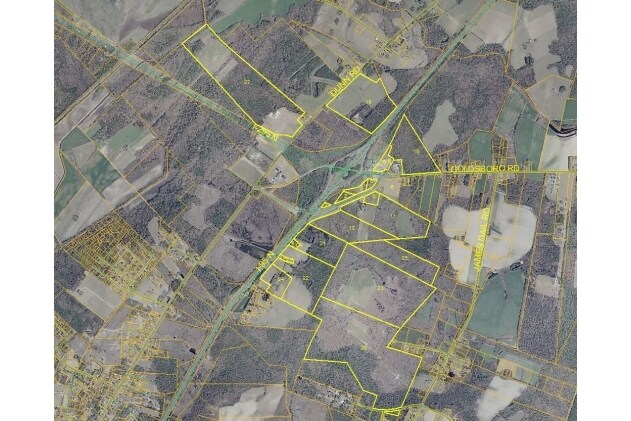

Property Detail
3945 Goldsboro Rd
0479-49-9992
3.59 ACS THROWER LD DAYS INNS OF AMERICA
Hotel
Cumberland
CP
North Carolina
B and X Area of moderate flood hazard, usually the area between the limits of the 100-year and 500-year floods.
9992
2025
3.59 AC
2025
East Fayetteville
002701
Fayetteville
4,390 SF
Fayetteville, NC
NEARBY LISTINGS FOR SALE OR LEASE
-
-
View all Wade listings for sale on LoopNet.com
DEMOGRAPHICS near 3945 Goldsboro Rd
1 mile
3 mile
5 mile
2025 Total Population
199
3,439
10,882
2030 Population
203
3,463
10,913
Pop Growth 2025-2030
+ 2.01%
+ 0.70%
+ 0.28%
Average Age
41
42
41
2025 Total Households
77
1,373
4,217
HH Growth 2025-2030
+ 2.60%
+ 0.87%
+ 0.40%
Median Household Inc
$93,749
$95,939
$84,404
Avg Household Size
2.60
2.40
2.50
2025 Avg HH Vehicles
2.00
2.00
2.00
Median Home Value
$269,565
$279,130
$277,847
Median Year Built
1990
1989
1991
Nearby Places
Map Layers
Map Styles
 Street
 Aerial
Layers
 Traffic
 Biking
Places
Listings with unknown addresses are not visible on the map
- Restaurants
- Banks
- Shops
- Fitness
- Groceries
PUBLIC TRANSPORTATION
AIRPORT
Fayetteville Regional/Grannis Field
Drive
Walk
Distance
Fayetteville Regional/Grannis Field
21 min
14.3 mi
Freight Ports
Port of Wilmington
Drive
Walk
Distance
Port of Wilmington
131 min
93.6 mi
Nearby Properties
Address
Land Use
TOTAL SIZE
Lot Size
Zoning
Address
Land Use
TOTAL SIZE
Lot Size
Zoning
29,976 SF
12.71 AC
RR
Address
Land Use
TOTAL SIZE
Lot Size
Zoning
278.66 AC
A1
Address
Land Use
TOTAL SIZE
Lot Size
Zoning
2,540 SF
16.80 AC
RR
Address
Land Use
TOTAL SIZE
Lot Size
Zoning
2,814 SF
10 AC
R6A
Address
Land Use
TOTAL SIZE
Lot Size
Zoning
31,135 SF
5.35 AC
RR
Address
Land Use
TOTAL SIZE
Lot Size
Zoning
14,298 SF
2.23 AC
CP
Address
Land Use
TOTAL SIZE
Lot Size
Zoning
6,171 SF
4.57 AC
CP
Address
Land Use
TOTAL SIZE
Lot Size
Zoning
1,050 SF
4.18 AC
CP-PLANNED
Address
Land Use
TOTAL SIZE
Lot Size
Zoning
7,381 SF
1.13 AC
RR
Address
Land Use
TOTAL SIZE
Lot Size
Zoning
1.62 AC
CPCZ
Address
Land Use
TOTAL SIZE
Lot Size
Zoning
43,000 SF
11.13 AC
M2
Address
Land Use
TOTAL SIZE
Lot Size
Zoning
24.15 AC
RR
Address
Land Use
TOTAL SIZE
Lot Size
Zoning
9,642 SF
2 AC
O&I
Address
Land Use
TOTAL SIZE
Lot Size
Zoning
8,680 SF
5.39 AC
RR
Address
Land Use
TOTAL SIZE
Lot Size
Zoning
228.61 AC
A1
Address
Land Use
TOTAL SIZE
Lot Size
Zoning
984 SF
2.41 AC
C1P-SHOPPI
Address
Land Use
TOTAL SIZE
Lot Size
Zoning
2,444 SF
13.03 AC
A1
Address
Land Use
TOTAL SIZE
Lot Size
Zoning
5,487 SF
0.87 AC
R6A
Address
Land Use
TOTAL SIZE
Lot Size
Zoning
5,487 SF
0.84 AC
R6A
Address
Land Use
TOTAL SIZE
Lot Size
Zoning
328.73 AC
A1
Address
Land Use
TOTAL SIZE
Lot Size
Zoning
1,620 SF
40.08 AC
RR
Address
Land Use
TOTAL SIZE
Lot Size
Zoning
957 SF
1.94 AC
C2PCZ
Address
Land Use
TOTAL SIZE
Lot Size
Zoning
8,364 SF
2.59 AC
CP
Address
Land Use
TOTAL SIZE
Lot Size
Zoning
154.23 AC
A1
Address
Land Use
TOTAL SIZE
Lot Size
Zoning
9,196 SF
1.51 AC
CP
Address
Land Use
TOTAL SIZE
Lot Size
Zoning
6,269 SF
2.21 AC
R6A-RESIDE
Address
Land Use
TOTAL SIZE
Lot Size
Zoning
4,264 SF
3.90 AC
RR
Address
Land Use
TOTAL SIZE
Lot Size
Zoning
104 AC
A1
Address
Land Use
TOTAL SIZE
Lot Size
Zoning
380.89 AC
A1
The World's #1 Commercial Real Estate Marketplace
Connect with us
© 2026 CoStar Group
The information above has been obtained from sources believed reliable. While we do not doubt its accuracy we have not verified it and make no guarantee, warranty or representation about it. It is your responsibility to independently confirm its accuracy and completeness. Any projections, opinions, assumptions, or estimates used are for example only and do not represent the current or future performance of the property. The value of this transaction to you depends on tax and other factors which should be evaluated by your tax, financial, and legal advisors. You and your advisors should conduct a careful, independent investigation of the property to determine to your satisfaction the suitability of the property for your needs.