Property Record
3950 E National Rd, Springfield, OH 45505


NEARBY LISTINGS FOR SALE OR LEASE
Property Detail
3950 E National Rd
Springfield, OH
Mrs
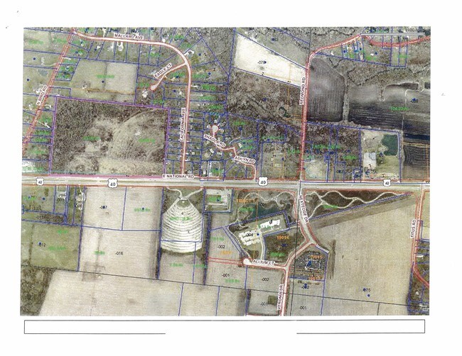
30-50700-01130-3007
N PT S W & S E QRS
Commercialacreage
Clark
X
Ohio
39023C0211E
7
2024
49.08 AC
2025
Northeast Dayton
001300
Cincinnati/Dayton
DEMOGRAPHICS near 3950 E National Rd
1 mile
3 mile
5 mile
2024 Total Population
1,440
20,196
68,896
2029 Population
1,433
20,101
68,785
Pop Growth 2024-2029
(0.49%)
(0.47%)
(0.16%)
Average Age
43
40
40
2024 Total Households
598
8,543
28,532
HH Growth 2024-2029
(0.67%)
(0.50%)
(0.27%)
Median Household Inc
$71,365
$53,636
$50,917
Avg Household Size
2.40
2.30
2.30
2024 Avg HH Vehicles
2.00
2.00
2.00
Median Home Value
$181,741
$104,510
$129,718
Median Year Built
1965
1951
1956
Nearby Places
Map Layers
Map Styles
 Street
 Aerial
Transit
 Traffic
 Biking
Places
Listings with unknown addresses are not visible on the map
- Restaurants
- Banks
- Shops
- Fitness
- Groceries
PUBLIC TRANSPORTATION
AIRPORT
James M Cox Dayton International
Drive
Walk
Distance
James M Cox Dayton International
40 min
30.6 mi
SALE & LEASE HISTORY
LISTING DATE
SALE/LEASE

Sep 04, 2019
For Sale
Mar 28, 2017
For Sale
Apr 12, 2019
For Sale
Nearby Properties
Address
Land Use
TOTAL SIZE
Lot Size
Zoning
Address
Land Use
TOTAL SIZE
Lot Size
Zoning
878,848 SF
115.07 AC
Address
Land Use
TOTAL SIZE
Lot Size
Zoning
399,308 SF
11.06 AC
Address
Land Use
TOTAL SIZE
Lot Size
Zoning
12,657 SF
8.17 AC
Address
Land Use
TOTAL SIZE
Lot Size
Zoning
399,308 SF
11.06 AC
Address
Land Use
TOTAL SIZE
Lot Size
Zoning
516,191 SF
91.52 AC
A
Address
Land Use
TOTAL SIZE
Lot Size
Zoning
386,728 SF
34.66 AC
Address
Land Use
TOTAL SIZE
Lot Size
Zoning
375,053 SF
50.43 AC
Address
Land Use
TOTAL SIZE
Lot Size
Zoning
199,566 SF
109.96 AC
Address
Land Use
TOTAL SIZE
Lot Size
Zoning
229,125 SF
40.19 AC
Address
Land Use
TOTAL SIZE
Lot Size
Zoning
6,521 SF
94.30 AC
Address
Land Use
TOTAL SIZE
Lot Size
Zoning
Address
Land Use
TOTAL SIZE
Lot Size
Zoning
878,588 SF
115.07 AC
Address
Land Use
TOTAL SIZE
Lot Size
Zoning
217,626 SF
17.85 AC
Address
Land Use
TOTAL SIZE
Lot Size
Zoning
Address
Land Use
TOTAL SIZE
Lot Size
Zoning
399,308 SF
31.78 AC
Address
Land Use
TOTAL SIZE
Lot Size
Zoning
197,451 SF
9.49 AC
Address
Land Use
TOTAL SIZE
Lot Size
Zoning
36,858 SF
17.81 AC
Address
Land Use
TOTAL SIZE
Lot Size
Zoning
Address
Land Use
TOTAL SIZE
Lot Size
Zoning
50,170 SF
7.09 AC
Address
Land Use
TOTAL SIZE
Lot Size
Zoning
149,240 SF
15.75 AC
Address
Land Use
TOTAL SIZE
Lot Size
Zoning
12,657 SF
8.17 AC
Address
Land Use
TOTAL SIZE
Lot Size
Zoning
137,420 SF
5.45 AC
Address
Land Use
TOTAL SIZE
Lot Size
Zoning
137,420 SF
5.45 AC
Address
Land Use
TOTAL SIZE
Lot Size
Zoning
55,584 SF
5.97 AC
Address
Land Use
TOTAL SIZE
Lot Size
Zoning
6,720 SF
17.36 AC
Address
Land Use
TOTAL SIZE
Lot Size
Zoning
145,140 SF
16.35 AC
Address
Land Use
TOTAL SIZE
Lot Size
Zoning
Address
Land Use
TOTAL SIZE
Lot Size
Zoning
18,640 SF
6.70 AC
Address
Land Use
TOTAL SIZE
Lot Size
Zoning
40,855 SF
10.90 AC
R-6
Address
Land Use
TOTAL SIZE
Lot Size
Zoning
134,190 SF
23 AC
The World's #1 Commercial Real Estate Marketplace
Connect with us
© 2026 CoStar Group
The information above has been obtained from sources believed reliable. While we do not doubt its accuracy we have not verified it and make no guarantee, warranty or representation about it. It is your responsibility to independently confirm its accuracy and completeness. Any projections, opinions, assumptions, or estimates used are for example only and do not represent the current or future performance of the property. The value of this transaction to you depends on tax and other factors which should be evaluated by your tax, financial, and legal advisors. You and your advisors should conduct a careful, independent investigation of the property to determine to your satisfaction the suitability of the property for your needs.