Property Record
3951 Madison Pike, Ft Mitchell, KY 41017
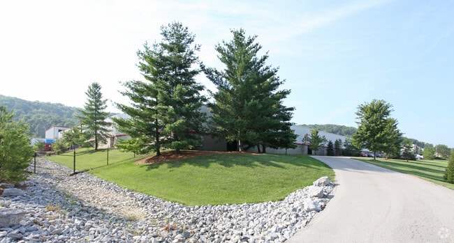


Property Detail
3951 Madison Pike
044-00-00-001.01
14.6689 AC ES MADISON PK NS HIGHWAY DEPT MAINTENANCE ACROSS FROM PIONEER PARK
Commercialnec
KENTON
B and X Area of moderate flood hazard, usually the area between the limits of the 100-year and 500-year floods.
Kentucky
2025
14.67 AC
2025
Covington
065300
Cincinnati/Dayton
295,181 SF
Cincinnati, OH-KY-IN
NEARBY LISTINGS FOR SALE OR LEASE
DEMOGRAPHICS near 3951 Madison Pike
1 mile
3 mile
5 mile
2025 Total Population
3,411
42,480
154,414
2030 Population
3,585
43,886
159,332
Pop Growth 2025-2030
+ 5.10%
+ 3.31%
+ 3.18%
Average Age
41
40
39
2025 Total Households
1,341
16,443
61,367
HH Growth 2025-2030
+ 5.15%
+ 3.31%
+ 3.13%
Median Household Inc
$119,966
$98,127
$79,611
Avg Household Size
2.50
2.50
2.40
2025 Avg HH Vehicles
2.00
2.00
2.00
Median Home Value
$351,597
$283,393
$247,656
Median Year Built
1989
1980
1977
Nearby Places
Map Layers
Map Styles
 Street
 Aerial
Layers
 Traffic
 Biking
Places
Listings with unknown addresses are not visible on the map
- Restaurants
- Banks
- Shops
- Fitness
- Groceries
PUBLIC TRANSPORTATION
COMMUTER RAIL
Cincinnati Union Terminal (Cardinal - Amtrak)
Drive
Walk
Distance
Cincinnati Union Terminal (Cardinal - Amtrak)
16 min
9.0 mi
AIRPORT
Cincinnati/Northern Kentucky International
Drive
Walk
Distance
Cincinnati/Northern Kentucky International
22 min
10.6 mi
Freight Ports
Port of Toledo
Drive
Walk
Distance
Port of Toledo
253 min
213.6 mi
Nearby Properties
Address
Land Use
TOTAL SIZE
Lot Size
Zoning
Address
Land Use
TOTAL SIZE
Lot Size
Zoning
Address
Land Use
TOTAL SIZE
Lot Size
Zoning
360,000 SF
Address
Land Use
TOTAL SIZE
Lot Size
Zoning
25.08 AC
Address
Land Use
TOTAL SIZE
Lot Size
Zoning
475,250 SF
37.16 AC
Address
Land Use
TOTAL SIZE
Lot Size
Zoning
441,907 SF
Address
Land Use
TOTAL SIZE
Lot Size
Zoning
Address
Land Use
TOTAL SIZE
Lot Size
Zoning
57,030 SF
7 AC
Address
Land Use
TOTAL SIZE
Lot Size
Zoning
12.60 AC
Address
Land Use
TOTAL SIZE
Lot Size
Zoning
Address
Land Use
TOTAL SIZE
Lot Size
Zoning
7.82 AC
Address
Land Use
TOTAL SIZE
Lot Size
Zoning
Address
Land Use
TOTAL SIZE
Lot Size
Zoning
25.96 AC
Address
Land Use
TOTAL SIZE
Lot Size
Zoning
179,770 SF
Address
Land Use
TOTAL SIZE
Lot Size
Zoning
180,972 SF
Address
Land Use
TOTAL SIZE
Lot Size
Zoning
183,917 SF
24.93 AC
Address
Land Use
TOTAL SIZE
Lot Size
Zoning
72.43 AC
Address
Land Use
TOTAL SIZE
Lot Size
Zoning
43,154 SF
9.37 AC
Address
Land Use
TOTAL SIZE
Lot Size
Zoning
65.43 AC
Address
Land Use
TOTAL SIZE
Lot Size
Zoning
17.84 AC
Address
Land Use
TOTAL SIZE
Lot Size
Zoning
520,920 SF
38.34 AC
Address
Land Use
TOTAL SIZE
Lot Size
Zoning
47,364 SF
3.88 AC
Address
Land Use
TOTAL SIZE
Lot Size
Zoning
192,584 SF
38.19 AC
Address
Land Use
TOTAL SIZE
Lot Size
Zoning
9.90 AC
Address
Land Use
TOTAL SIZE
Lot Size
Zoning
188.57 AC
Address
Land Use
TOTAL SIZE
Lot Size
Zoning
100,000 SF
38.20 AC
Address
Land Use
TOTAL SIZE
Lot Size
Zoning
6.85 AC
Address
Land Use
TOTAL SIZE
Lot Size
Zoning
200,000 SF
12.14 AC
Address
Land Use
TOTAL SIZE
Lot Size
Zoning
5.59 AC
Address
Land Use
TOTAL SIZE
Lot Size
Zoning
195,750 SF
11.59 AC
Address
Land Use
TOTAL SIZE
Lot Size
Zoning
15.23 AC
The World's #1 Commercial Real Estate Marketplace
Connect with us
© 2026 CoStar Group
The information above has been obtained from sources believed reliable. While we do not doubt its accuracy we have not verified it and make no guarantee, warranty or representation about it. It is your responsibility to independently confirm its accuracy and completeness. Any projections, opinions, assumptions, or estimates used are for example only and do not represent the current or future performance of the property. The value of this transaction to you depends on tax and other factors which should be evaluated by your tax, financial, and legal advisors. You and your advisors should conduct a careful, independent investigation of the property to determine to your satisfaction the suitability of the property for your needs.