Property Record
3953 S Nelson Ct, Denver, CO 80235
NEARBY LISTINGS FOR SALE OR LEASE
Property Detail
3953 S Nelson Ct
59-043-00-001
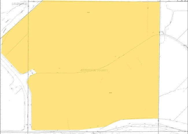
SECTION 04 TOWNSHIP 05 RANGE 69 QTR SW SIZE: 3947581 VALUE: 90.624 KEY=001
Commercialnec
Jefferson
X
Colorado
0800460188H
90.62 AC
0
Southwest Denver
2024
Denver
011904
Denver-Aurora-Centennial, CO
DEMOGRAPHICS near 3953 S Nelson Ct
1 mile
3 mile
5 mile
2024 Total Population
7,189
85,584
224,528
2029 Population
7,061
84,664
221,904
Pop Growth 2024-2029
(1.78%)
(1.07%)
(1.17%)
Average Age
42
42
42
2024 Total Households
2,369
35,055
89,532
HH Growth 2024-2029
(2.07%)
(1.06%)
(1.24%)
Median Household Inc
$100,809
$95,574
$96,588
Avg Household Size
2.50
2.40
2.40
2024 Avg HH Vehicles
2.00
2.00
2.00
Median Home Value
$461,120
$509,725
$524,573
Median Year Built
1977
1985
1980
Nearby Places
Map Layers
Map Styles
 Street
 Aerial
Transit
 Traffic
 Biking
Places
Listings with unknown addresses are not visible on the map
- Restaurants
- Banks
- Shops
- Fitness
- Groceries
PUBLIC TRANSPORTATION
AIRPORT
Denver International
Drive
Walk
Distance
Denver International
50 min
38.2 mi
Freight Ports
Tulsa Port Of Catoosa
Drive
Walk
Distance
Tulsa Port Of Catoosa
747 min
720.9 mi
Nearby Properties
Address
Land Use
TOTAL SIZE
Lot Size
Zoning
Address
Land Use
TOTAL SIZE
Lot Size
Zoning
255,381 SF
16.52 AC
Address
Land Use
TOTAL SIZE
Lot Size
Zoning
298,752 SF
73.96 AC
Address
Land Use
TOTAL SIZE
Lot Size
Zoning
600,847 SF
32.41 AC
PD
Address
Land Use
TOTAL SIZE
Lot Size
Zoning
600,847 SF
35.87 AC
PD
Address
Land Use
TOTAL SIZE
Lot Size
Zoning
5,075 SF
1,955.14 AC
A2
Address
Land Use
TOTAL SIZE
Lot Size
Zoning
452,193 SF
12.56 AC
Address
Land Use
TOTAL SIZE
Lot Size
Zoning
391,595 SF
27.94 AC
Address
Land Use
TOTAL SIZE
Lot Size
Zoning
173,389 SF
24.80 AC
Address
Land Use
TOTAL SIZE
Lot Size
Zoning
446,582 SF
19.24 AC
Address
Land Use
TOTAL SIZE
Lot Size
Zoning
178,421 SF
12.31 AC
PD
Address
Land Use
TOTAL SIZE
Lot Size
Zoning
63,347 SF
20.70 AC
Address
Land Use
TOTAL SIZE
Lot Size
Zoning
304,475 SF
22.32 AC
Address
Land Use
TOTAL SIZE
Lot Size
Zoning
123,843 SF
6.03 AC
Address
Land Use
TOTAL SIZE
Lot Size
Zoning
123,224 SF
8.74 AC
Address
Land Use
TOTAL SIZE
Lot Size
Zoning
224,595 SF
14.66 AC
Address
Land Use
TOTAL SIZE
Lot Size
Zoning
294,876 SF
12.25 AC
Address
Land Use
TOTAL SIZE
Lot Size
Zoning
329,538 SF
14.64 AC
B-4
Address
Land Use
TOTAL SIZE
Lot Size
Zoning
85,580 SF
12.54 AC
Address
Land Use
TOTAL SIZE
Lot Size
Zoning
293,292 SF
13.78 AC
PUD
Address
Land Use
TOTAL SIZE
Lot Size
Zoning
151,602 SF
38.93 AC
Address
Land Use
TOTAL SIZE
Lot Size
Zoning
220,656 SF
16.18 AC
Address
Land Use
TOTAL SIZE
Lot Size
Zoning
105,093 SF
9.32 AC
B-2
Address
Land Use
TOTAL SIZE
Lot Size
Zoning
296,034 SF
14.26 AC
R-2-A
Address
Land Use
TOTAL SIZE
Lot Size
Zoning
80,798 SF
12.27 AC
PD
Address
Land Use
TOTAL SIZE
Lot Size
Zoning
218,158 SF
20.16 AC
A2
Address
Land Use
TOTAL SIZE
Lot Size
Zoning
141,552 SF
11.16 AC
Address
Land Use
TOTAL SIZE
Lot Size
Zoning
221,123 SF
14.82 AC
PD
Address
Land Use
TOTAL SIZE
Lot Size
Zoning
52,493 SF
12.69 AC
Address
Land Use
TOTAL SIZE
Lot Size
Zoning
253,348 SF
10.26 AC
Address
Land Use
TOTAL SIZE
Lot Size
Zoning
97,000 SF
9.88 AC
PD
The World's #1 Commercial Real Estate Marketplace
Connect with us
© 2026 CoStar Group
The information above has been obtained from sources believed reliable. While we do not doubt its accuracy we have not verified it and make no guarantee, warranty or representation about it. It is your responsibility to independently confirm its accuracy and completeness. Any projections, opinions, assumptions, or estimates used are for example only and do not represent the current or future performance of the property. The value of this transaction to you depends on tax and other factors which should be evaluated by your tax, financial, and legal advisors. You and your advisors should conduct a careful, independent investigation of the property to determine to your satisfaction the suitability of the property for your needs.