Property Record
1145 7Th St, Norco, CA 92860
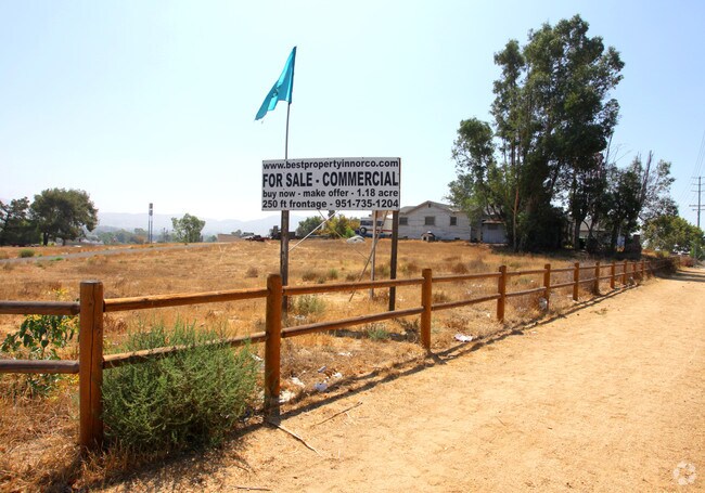
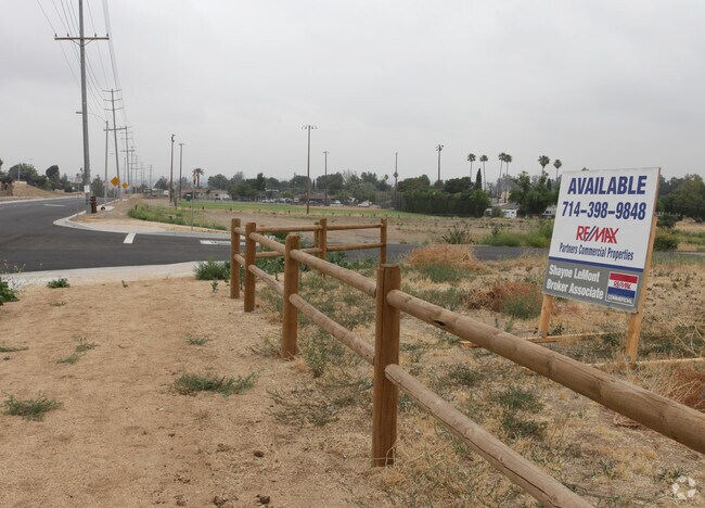

NEARBY LISTINGS FOR SALE OR LEASE
Property Detail
1145 7Th St
Riverside-San Bernardino-Ontario, CA
Townsite Of Norco
131-112-002
.19 ACRES M/L IN POR LOT 1 BLK 14 MB 011/004 TOWNSITE OF NORCO
Commercialacreage
Riverside
X
California
06065C0683H
1
2024
0.19 AC
2025
Corona/Eastvale
040702
Inland Empire (California)
DEMOGRAPHICS near 1145 7Th St
1 Mile
3 Mile
5 Mile
2024 Total Population
4,688
92,345
269,712
2029 Population
4,896
96,718
283,361
Pop Growth 2024-2029
+ 4.44%
+ 4.74%
+ 5.06%
Average Age
40
37
36
2024 Total Households
1,418
23,154
72,619
HH Growth 2024-2029
+ 3.74%
+ 4.20%
+ 4.71%
Median Household Inc
$116,486
$133,939
$102,061
Avg Household Size
3.20
3.70
3.50
2024 Avg HH Vehicles
3.00
3.00
3.00
Median Home Value
$698,645
$720,185
$644,471
Median Year Built
1970
2002
1996
Nearby Places
- Restaurants
- Banks
- Shops
- Fitness
- Groceries
PUBLIC TRANSPORTATION
COMMUTER RAIL
North Main Corona (91 Line - Southern California Regional Rail Authority (Metrolink), Inland Empire-Orange County Line - Southern California Regional Rail Authority (Metrolink))
DRIVE
WALK
Distance
North Main Corona (91 Line - Southern California Regional Rail Authority (Metrolink), Inland Empire-Orange County Line - Southern California Regional Rail Authority (Metrolink))
9 min
4.6 mi
West Corona (91 Line - Southern California Regional Rail Authority (Metrolink), Inland Empire-Orange County Line - Southern California Regional Rail Authority (Metrolink))
DRIVE
WALK
Distance
West Corona (91 Line - Southern California Regional Rail Authority (Metrolink), Inland Empire-Orange County Line - Southern California Regional Rail Authority (Metrolink))
13 min
7.8 mi
AIRPORT
Ontario International
DRIVE
WALK
Distance
Ontario International
19 min
12.3 mi
John Wayne/Orange County
DRIVE
WALK
Distance
John Wayne/Orange County
42 min
32.8 mi
Freight Ports
Port of Long Beach
DRIVE
WALK
Distance
Port of Long Beach
63 min
46.8 mi
Nearby Properties
Address
Land Use
TOTAL SIZE
Lot Size
Zoning
Address
Land Use
TOTAL SIZE
Lot Size
Zoning
165,463 SF
17.43 AC
Address
Land Use
TOTAL SIZE
Lot Size
Zoning
364,193 SF
23.77 AC
Address
Land Use
TOTAL SIZE
Lot Size
Zoning
154,581 SF
8.30 AC
Address
Land Use
TOTAL SIZE
Lot Size
Zoning
159,517 SF
7.81 AC
Address
Land Use
TOTAL SIZE
Lot Size
Zoning
160,264 SF
9.21 AC
M1
Address
Land Use
TOTAL SIZE
Lot Size
Zoning
145,424 SF
7.23 AC
Address
Land Use
TOTAL SIZE
Lot Size
Zoning
128,674 SF
6.71 AC
M1
Address
Land Use
TOTAL SIZE
Lot Size
Zoning
116,654 SF
6.03 AC
Address
Land Use
TOTAL SIZE
Lot Size
Zoning
96,961 SF
4.95 AC
Address
Land Use
TOTAL SIZE
Lot Size
Zoning
100,122 SF
5.25 AC
Address
Land Use
TOTAL SIZE
Lot Size
Zoning
163,546 SF
4.13 AC
A1
Address
Land Use
TOTAL SIZE
Lot Size
Zoning
88,830 SF
4 AC
Address
Land Use
TOTAL SIZE
Lot Size
Zoning
88,900 SF
7.31 AC
CPS
Address
Land Use
TOTAL SIZE
Lot Size
Zoning
77,787 SF
4.43 AC
Address
Land Use
TOTAL SIZE
Lot Size
Zoning
112,814 SF
6.93 AC
CPS
Address
Land Use
TOTAL SIZE
Lot Size
Zoning
53,563 SF
1.45 AC
CPS
Address
Land Use
TOTAL SIZE
Lot Size
Zoning
64,631 SF
2.67 AC
Address
Land Use
TOTAL SIZE
Lot Size
Zoning
67,400 SF
2.96 AC
Address
Land Use
TOTAL SIZE
Lot Size
Zoning
68,266 SF
2.33 AC
Address
Land Use
TOTAL SIZE
Lot Size
Zoning
75,237 SF
3.45 AC
Address
Land Use
TOTAL SIZE
Lot Size
Zoning
123,735 SF
9.99 AC
CPS
Address
Land Use
TOTAL SIZE
Lot Size
Zoning
36,820 SF
2.82 AC
Address
Land Use
TOTAL SIZE
Lot Size
Zoning
64,800 SF
2.99 AC
Address
Land Use
TOTAL SIZE
Lot Size
Zoning
116,348 SF
2.60 AC
Address
Land Use
TOTAL SIZE
Lot Size
Zoning
57,073 SF
2.52 AC
Address
Land Use
TOTAL SIZE
Lot Size
Zoning
43,375 SF
4.41 AC
Address
Land Use
TOTAL SIZE
Lot Size
Zoning
147,009 SF
11.04 AC
CPS
Address
Land Use
TOTAL SIZE
Lot Size
Zoning
115,885 SF
9.80 AC
Address
Land Use
TOTAL SIZE
Lot Size
Zoning
48,100 SF
2.41 AC
C2
Address
Land Use
TOTAL SIZE
Lot Size
Zoning
56,208 SF
4.88 AC
CPS
The World's #1 Commercial Real Estate Marketplace
Connect with us
© 2025 CoStar Group
The information above has been obtained from sources believed reliable. While we do not doubt its accuracy we have not verified it and make no guarantee, warranty or representation about it. It is your responsibility to independently confirm its accuracy and completeness. Any projections, opinions, assumptions, or estimates used are for example only and do not represent the current or future performance of the property. The value of this transaction to you depends on tax and other factors which should be evaluated by your tax, financial, and legal advisors. You and your advisors should conduct a careful, independent investigation of the property to determine to your satisfaction the suitability of the property for your needs.