No Photo
Property Record
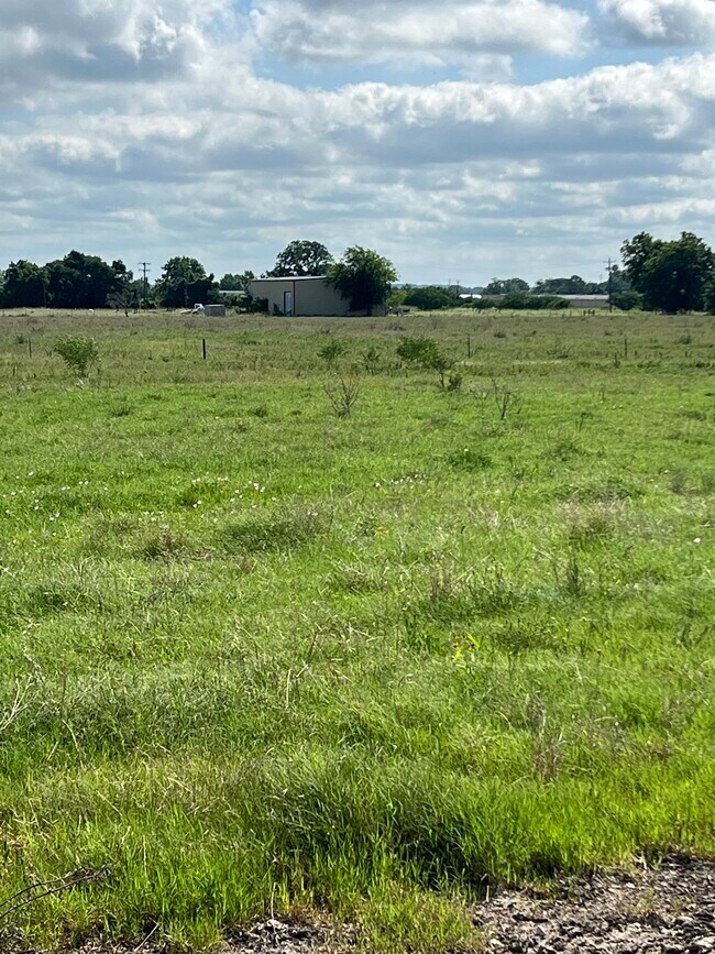
399 Prune Rd, La Grange, TX 78945


Property Detail
399 Prune Rd
R33813
ABS A097 TAYLOR WM H LG,40.0 ACRES,COMM/MET
Commercialnec
FAYETTE
B and X Area of moderate flood hazard, usually the area between the limits of the 100-year and 500-year floods.
Texas
2025
40 AC
2025
Central Texas Area
970302
Other Market Areas
4,000 SF
NEARBY LISTINGS FOR SALE OR LEASE
-
-
View all La Grange listings for sale on LoopNet.com
DEMOGRAPHICS near 399 Prune Rd
1 mile
3 mile
5 mile
2024 Total Population
113
851
8,437
2029 Population
115
873
8,992
Pop Growth 2024-2029
+ 1.77%
+ 2.59%
+ 6.58%
Average Age
45
45
43
2024 Total Households
43
321
3,342
HH Growth 2024-2029
0.00%
+ 1.87%
+ 6.07%
Median Household Inc
$61,875
$64,038
$55,887
Avg Household Size
2.60
2.50
2.40
2024 Avg HH Vehicles
2.00
2.00
2.00
Median Home Value
$285,713
$270,175
$239,980
Median Year Built
1982
1982
1982
Nearby Places
Map Layers
Map Styles
 Street
 Aerial
Transit
 Traffic
 Biking
Places
Listings with unknown addresses are not visible on the map
- Restaurants
- Banks
- Shops
- Fitness
- Groceries
SALE & LEASE HISTORY
LISTING DATE
SALE/LEASE

Jun 28, 2023
For Sale
Nearby Properties
Address
Land Use
TOTAL SIZE
Lot Size
Zoning
Address
Land Use
TOTAL SIZE
Lot Size
Zoning
119,697 SF
7.68 AC
Address
Land Use
TOTAL SIZE
Lot Size
Zoning
3,393 SF
314.41 AC
Address
Land Use
TOTAL SIZE
Lot Size
Zoning
4,888 SF
283.41 AC
Address
Land Use
TOTAL SIZE
Lot Size
Zoning
286.30 AC
Address
Land Use
TOTAL SIZE
Lot Size
Zoning
354.90 AC
Address
Land Use
TOTAL SIZE
Lot Size
Zoning
33,444 SF
11.59 AC
Address
Land Use
TOTAL SIZE
Lot Size
Zoning
216.38 AC
Address
Land Use
TOTAL SIZE
Lot Size
Zoning
1,454 SF
199.91 AC
Address
Land Use
TOTAL SIZE
Lot Size
Zoning
2,762 SF
621.48 AC
Address
Land Use
TOTAL SIZE
Lot Size
Zoning
1,490 SF
301.50 AC
Address
Land Use
TOTAL SIZE
Lot Size
Zoning
9,245 SF
182.28 AC
Address
Land Use
TOTAL SIZE
Lot Size
Zoning
38,804 SF
7.04 AC
Address
Land Use
TOTAL SIZE
Lot Size
Zoning
46,345 SF
6.64 AC
Address
Land Use
TOTAL SIZE
Lot Size
Zoning
27,766 SF
1.72 AC
Address
Land Use
TOTAL SIZE
Lot Size
Zoning
804 SF
176.92 AC
Address
Land Use
TOTAL SIZE
Lot Size
Zoning
2,239 SF
158.60 AC
Address
Land Use
TOTAL SIZE
Lot Size
Zoning
55,040 SF
5.36 AC
Address
Land Use
TOTAL SIZE
Lot Size
Zoning
672 SF
177.87 AC
Address
Land Use
TOTAL SIZE
Lot Size
Zoning
3,732 SF
103.61 AC
Address
Land Use
TOTAL SIZE
Lot Size
Zoning
43,886 SF
11.37 AC
Address
Land Use
TOTAL SIZE
Lot Size
Zoning
146.60 AC
Address
Land Use
TOTAL SIZE
Lot Size
Zoning
63,212 SF
6.49 AC
Address
Land Use
TOTAL SIZE
Lot Size
Zoning
21,364 SF
134.77 AC
Address
Land Use
TOTAL SIZE
Lot Size
Zoning
139.78 AC
Address
Land Use
TOTAL SIZE
Lot Size
Zoning
21,525 SF
49.90 AC
Address
Land Use
TOTAL SIZE
Lot Size
Zoning
276.42 AC
Address
Land Use
TOTAL SIZE
Lot Size
Zoning
69,321 SF
18.05 AC
Address
Land Use
TOTAL SIZE
Lot Size
Zoning
2,084 SF
127.88 AC
Address
Land Use
TOTAL SIZE
Lot Size
Zoning
1,772 SF
112.29 AC
Address
Land Use
TOTAL SIZE
Lot Size
Zoning
16,867 SF
1.90 AC
The World's #1 Commercial Real Estate Marketplace
Connect with us
© 2026 CoStar Group
The information above has been obtained from sources believed reliable. While we do not doubt its accuracy we have not verified it and make no guarantee, warranty or representation about it. It is your responsibility to independently confirm its accuracy and completeness. Any projections, opinions, assumptions, or estimates used are for example only and do not represent the current or future performance of the property. The value of this transaction to you depends on tax and other factors which should be evaluated by your tax, financial, and legal advisors. You and your advisors should conduct a careful, independent investigation of the property to determine to your satisfaction the suitability of the property for your needs.