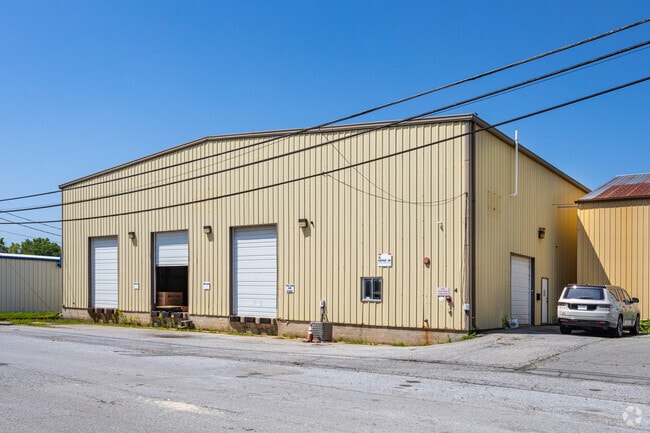
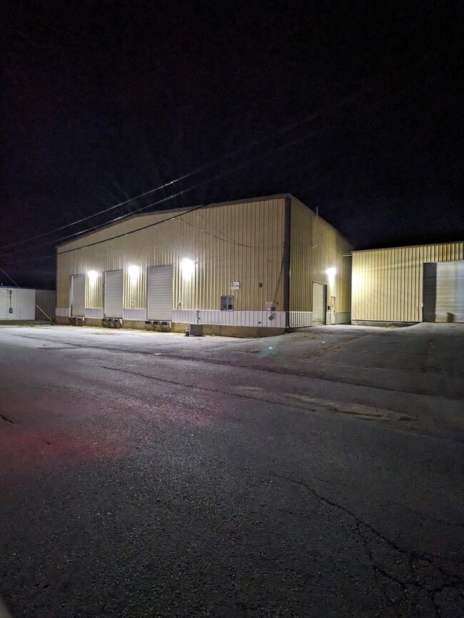
Property Record
4 Copper Dr, Wilmington, DE 19804

Current Lease Availabilities
Property Detail
4 Copper Dr
20-004.00-037
New Castle
Industrialgeneral
Delaware
20GI
4
C and X Area of minimal flood hazard, usually depicted on FIRMs as above the 500-year flood level.
1 AC
2025
Wilmington
2025
Philadelphia
012900
Philadelphia-Camden-Wilmington, PA-NJ-DE-MD
24,500 SF
NEARBY LISTINGS FOR SALE OR LEASE
DEMOGRAPHICS near 4 Copper Dr
1 mile
3 mile
5 mile
2025 Total Population
5,719
86,766
213,845
2030 Population
5,836
88,838
221,034
Pop Growth 2025-2030
+ 2.05%
+ 2.39%
+ 3.36%
Average Age
41
40
41
2025 Total Households
2,243
33,540
87,576
HH Growth 2025-2030
+ 2.18%
+ 2.51%
+ 3.54%
Median Household Inc
$85,274
$67,562
$69,963
Avg Household Size
2.50
2.50
2.40
2025 Avg HH Vehicles
2.00
2.00
2.00
Median Home Value
$258,899
$245,231
$274,383
Median Year Built
1954
1955
1960
Nearby Places
Map Layers
Map Styles
 Street
 Aerial
Transit
 Traffic
 Biking
Places
Listings with unknown addresses are not visible on the map
- Restaurants
- Banks
- Shops
- Fitness
- Groceries
PUBLIC TRANSPORTATION
COMMUTER RAIL
Wilmington (R2 - Southeastern Pennsylvania Transportation Authority Regional Rail (SEPTA Regional Rail))
Drive
Walk
Distance
Wilmington (R2 - Southeastern Pennsylvania Transportation Authority Regional Rail (SEPTA Regional Rail))
11 min
4.6 mi
Churchmans Crossing (R2 - Southeastern Pennsylvania Transportation Authority Regional Rail (SEPTA Regional Rail))
Drive
Walk
Distance
Churchmans Crossing (R2 - Southeastern Pennsylvania Transportation Authority Regional Rail (SEPTA Regional Rail))
10 min
5.1 mi
AIRPORT
Philadelphia International
Drive
Walk
Distance
Philadelphia International
38 min
26.6 mi
Freight Ports
Port of Wilmington, RI
Drive
Walk
Distance
Port of Wilmington, RI
13 min
6.5 mi
Nearby Properties
Address
Land Use
TOTAL SIZE
Lot Size
Zoning
Address
Land Use
TOTAL SIZE
Lot Size
Zoning
163,588 SF
1,229.95 AC
I
Address
Land Use
TOTAL SIZE
Lot Size
Zoning
624,255 SF
132.95 AC
SR
Address
Land Use
TOTAL SIZE
Lot Size
Zoning
22,013 SF
55.17 AC
S
Address
Land Use
TOTAL SIZE
Lot Size
Zoning
803,690 SF
155.50 AC
NCPUD
Address
Land Use
TOTAL SIZE
Lot Size
Zoning
819,930 SF
78.51 AC
HI
Address
Land Use
TOTAL SIZE
Lot Size
Zoning
871,571 SF
59.53 AC
OR
Address
Land Use
TOTAL SIZE
Lot Size
Zoning
186,374 SF
178.45 AC
SR
Address
Land Use
TOTAL SIZE
Lot Size
Zoning
116,042 SF
108.83 AC
SR
Address
Land Use
TOTAL SIZE
Lot Size
Zoning
38,900 SF
16.31 AC
BP
Address
Land Use
TOTAL SIZE
Lot Size
Zoning
30,127 SF
6.53 AC
CR
Address
Land Use
TOTAL SIZE
Lot Size
Zoning
12,500 SF
2.05 AC
26W4
Address
Land Use
TOTAL SIZE
Lot Size
Zoning
234,457 SF
18.18 AC
26R-3
Address
Land Use
TOTAL SIZE
Lot Size
Zoning
660 SF
291.15 AC
I
Address
Land Use
TOTAL SIZE
Lot Size
Zoning
269,354 SF
29.13 AC
NCPUD
Address
Land Use
TOTAL SIZE
Lot Size
Zoning
42,682 SF
108.06 AC
OR
Address
Land Use
TOTAL SIZE
Lot Size
Zoning
6,400 SF
1.51 AC
26W4
Address
Land Use
TOTAL SIZE
Lot Size
Zoning
212,416 SF
1.69 AC
26W2
Address
Land Use
TOTAL SIZE
Lot Size
Zoning
388,314 SF
22.06 AC
NCAP
Address
Land Use
TOTAL SIZE
Lot Size
Zoning
1,440 SF
0.72 AC
26W2
Address
Land Use
TOTAL SIZE
Lot Size
Zoning
9,558 SF
3.84 AC
26M-1
Address
Land Use
TOTAL SIZE
Lot Size
Zoning
2,368 SF
486.90 AC
SR
Address
Land Use
TOTAL SIZE
Lot Size
Zoning
236,182 SF
0.70 AC
26W4
Address
Land Use
TOTAL SIZE
Lot Size
Zoning
68,173 SF
16.18 AC
OR
Address
Land Use
TOTAL SIZE
Lot Size
Zoning
166,492 SF
19.73 AC
S
Address
Land Use
TOTAL SIZE
Lot Size
Zoning
220,880 SF
62.11 AC
HI
Address
Land Use
TOTAL SIZE
Lot Size
Zoning
9,490 SF
3.56 AC
26W4
Address
Land Use
TOTAL SIZE
Lot Size
Zoning
161,263 SF
2.68 AC
26W4
Address
Land Use
TOTAL SIZE
Lot Size
Zoning
56,352 SF
11.29 AC
I
Address
Land Use
TOTAL SIZE
Lot Size
Zoning
343,217 SF
28.26 AC
CR
Address
Land Use
TOTAL SIZE
Lot Size
Zoning
80,000 SF
5.71 AC
26W2
The World's #1 Commercial Real Estate Marketplace
Connect with us
© 2026 CoStar Group
The information above has been obtained from sources believed reliable. While we do not doubt its accuracy we have not verified it and make no guarantee, warranty or representation about it. It is your responsibility to independently confirm its accuracy and completeness. Any projections, opinions, assumptions, or estimates used are for example only and do not represent the current or future performance of the property. The value of this transaction to you depends on tax and other factors which should be evaluated by your tax, financial, and legal advisors. You and your advisors should conduct a careful, independent investigation of the property to determine to your satisfaction the suitability of the property for your needs.