Property Record
4 E Spring St, Buffalo, NY 14221
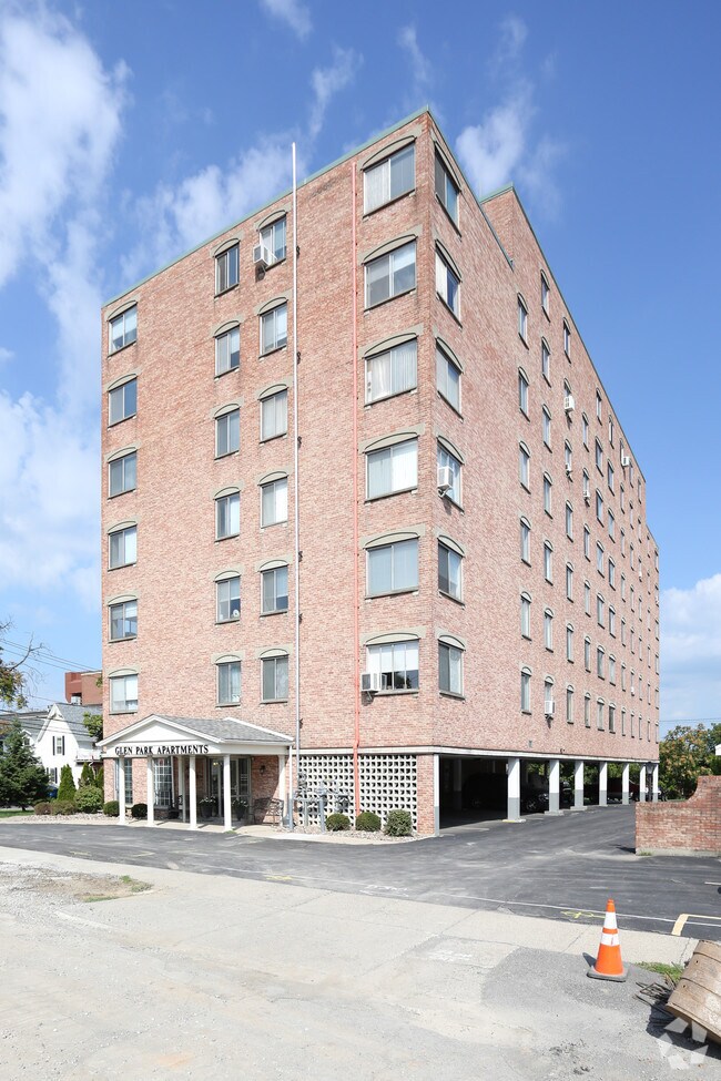


Property Detail
4 E Spring St
Buffalo-Cheektowaga, NY
NE COR CAYUGA RD 132 X 214
142201-080-080-0002-009-000
ERIE
Apartment
New York
B and X Area of moderate flood hazard, usually the area between the limits of the 100-year and 500-year floods.
9.000
2025
0.65 AC
2024
East Amherst/Williamsville
009011
Buffalo/Niagara Falls
49,079 SF
NEARBY LISTINGS FOR SALE OR LEASE
-
-
View all Buffalo listings for sale on LoopNet.com
DEMOGRAPHICS near 4 E Spring St
1 mile
3 mile
5 mile
2025 Total Population
10,540
87,403
268,379
2030 Population
10,643
87,784
268,458
Pop Growth 2025-2030
+ 0.98%
+ 0.44%
+ 0.03%
Average Age
47
43
41
2025 Total Households
4,990
37,846
109,760
HH Growth 2025-2030
+ 1.06%
+ 0.45%
+ 0.06%
Median Household Inc
$89,271
$87,825
$72,086
Avg Household Size
2.00
2.20
2.30
2025 Avg HH Vehicles
2.00
2.00
2.00
Median Home Value
$289,468
$267,557
$246,435
Median Year Built
1958
1960
1958
Nearby Places
Map Layers
Map Styles
 Street
 Aerial
Transit
 Traffic
 Biking
Places
Listings with unknown addresses are not visible on the map
- Restaurants
- Banks
- Shops
- Fitness
- Groceries
PUBLIC TRANSPORTATION
COMMUTER RAIL
Buffalo Depew Station (Empire Service - Amtrak, Lake Shore Limited - Amtrak, Maple Leaf - Amtrak)
Drive
Walk
Distance
Buffalo Depew Station (Empire Service - Amtrak, Lake Shore Limited - Amtrak, Maple Leaf - Amtrak)
10 min
4.3 mi
AIRPORT
Buffalo Niagara International
Drive
Walk
Distance
Buffalo Niagara International
5 min
2.2 mi
Niagara Falls International
Drive
Walk
Distance
Niagara Falls International
28 min
15.9 mi
Freight Ports
Albany, NY Port
Drive
Walk
Distance
Albany, NY Port
331 min
281.9 mi
Nearby Properties
Address
Land Use
TOTAL SIZE
Lot Size
Zoning
Address
Land Use
TOTAL SIZE
Lot Size
Zoning
462,256 SF
568.62 AC
05C
Address
Land Use
TOTAL SIZE
Lot Size
Zoning
308,191 SF
19.74 AC
CF
Address
Land Use
TOTAL SIZE
Lot Size
Zoning
132,940 SF
41.50 AC
CF
Address
Land Use
TOTAL SIZE
Lot Size
Zoning
Address
Land Use
TOTAL SIZE
Lot Size
Zoning
177,000 SF
14.91 AC
CF
Address
Land Use
TOTAL SIZE
Lot Size
Zoning
322,151 SF
44.99 AC
Address
Land Use
TOTAL SIZE
Lot Size
Zoning
24,600 SF
19.20 AC
00000
Address
Land Use
TOTAL SIZE
Lot Size
Zoning
82,802 SF
12.80 AC
05C
Address
Land Use
TOTAL SIZE
Lot Size
Zoning
172,400 SF
116.50 AC
Address
Land Use
TOTAL SIZE
Lot Size
Zoning
82.29 AC
05C
Address
Land Use
TOTAL SIZE
Lot Size
Zoning
260,326 SF
22.70 AC
Address
Land Use
TOTAL SIZE
Lot Size
Zoning
203,546 SF
13.55 AC
Address
Land Use
TOTAL SIZE
Lot Size
Zoning
216,724 SF
66.09 AC
05C
Address
Land Use
TOTAL SIZE
Lot Size
Zoning
12,576 SF
18.15 AC
Address
Land Use
TOTAL SIZE
Lot Size
Zoning
Address
Land Use
TOTAL SIZE
Lot Size
Zoning
71,053 SF
2.52 AC
OB
Address
Land Use
TOTAL SIZE
Lot Size
Zoning
8,296 SF
16.60 AC
Address
Land Use
TOTAL SIZE
Lot Size
Zoning
172,001 SF
23.49 AC
Address
Land Use
TOTAL SIZE
Lot Size
Zoning
Address
Land Use
TOTAL SIZE
Lot Size
Zoning
3,630 SF
10.50 AC
Address
Land Use
TOTAL SIZE
Lot Size
Zoning
7,744 SF
17.82 AC
Address
Land Use
TOTAL SIZE
Lot Size
Zoning
196,113 SF
21.09 AC
Address
Land Use
TOTAL SIZE
Lot Size
Zoning
54,109 SF
6.19 AC
OB
Address
Land Use
TOTAL SIZE
Lot Size
Zoning
Address
Land Use
TOTAL SIZE
Lot Size
Zoning
124,407 SF
10.38 AC
SC
Address
Land Use
TOTAL SIZE
Lot Size
Zoning
191,420 SF
59.30 AC
Address
Land Use
TOTAL SIZE
Lot Size
Zoning
11,520 SF
8.70 AC
Address
Land Use
TOTAL SIZE
Lot Size
Zoning
211,647 SF
1.76 AC
GB
Address
Land Use
TOTAL SIZE
Lot Size
Zoning
19,558 SF
11.07 AC
Address
Land Use
TOTAL SIZE
Lot Size
Zoning
146,776 SF
9.19 AC
The World's #1 Commercial Real Estate Marketplace
Connect with us
© 2026 CoStar Group
The information above has been obtained from sources believed reliable. While we do not doubt its accuracy we have not verified it and make no guarantee, warranty or representation about it. It is your responsibility to independently confirm its accuracy and completeness. Any projections, opinions, assumptions, or estimates used are for example only and do not represent the current or future performance of the property. The value of this transaction to you depends on tax and other factors which should be evaluated by your tax, financial, and legal advisors. You and your advisors should conduct a careful, independent investigation of the property to determine to your satisfaction the suitability of the property for your needs.