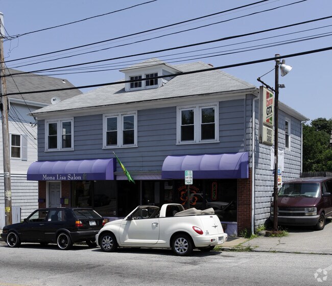
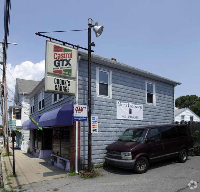
Property Record
4 Gansett Ave, Cranston, RI 02920

Property Detail
4 Gansett Ave
CRAN-000007-000005-003509
Providence
Commercialofficeresidentialmixeduse
Rhode Island
C2
3509
B and X Area of moderate flood hazard, usually the area between the limits of the 100-year and 500-year floods.
0.05 AC
2025
Cranston
2025
Providence
014000
Providence-Warwick, RI-MA
1,715 SF
NEARBY LISTINGS FOR SALE OR LEASE
DEMOGRAPHICS near 4 Gansett Ave
1 mile
3 mile
5 mile
2025 Total Population
17,905
183,057
359,577
2030 Population
18,324
187,405
369,552
Pop Growth 2025-2030
+ 2.34%
+ 2.38%
+ 2.77%
Average Age
40
38
39
2025 Total Households
7,060
70,148
141,678
HH Growth 2025-2030
+ 2.37%
+ 2.57%
+ 2.97%
Median Household Inc
$65,675
$68,610
$74,476
Avg Household Size
2.50
2.50
2.40
2025 Avg HH Vehicles
2.00
1.00
2.00
Median Home Value
$334,543
$347,340
$366,293
Median Year Built
1950
1949
1952
Nearby Places
Map Layers
Map Styles
 Street
 Aerial
Layers
 Traffic
 Biking
Places
Listings with unknown addresses are not visible on the map
- Restaurants
- Banks
- Shops
- Fitness
- Groceries
PUBLIC TRANSPORTATION
COMMUTER RAIL
Providence (Providence/Stoughton Line - Massachusetts Bay Transportation Authority Commuter Rail (Purple Line))
Drive
Walk
Distance
Providence (Providence/Stoughton Line - Massachusetts Bay Transportation Authority Commuter Rail (Purple Line))
6 min
4.0 mi
Tf Green Airport (Providence/Stoughton Line - MBTA)
Drive
Walk
Distance
Tf Green Airport (Providence/Stoughton Line - MBTA)
13 min
6.4 mi
AIRPORT
Rhode Island Tf Green International
Drive
Walk
Distance
Rhode Island Tf Green International
16 min
7.8 mi
Freight Ports
Port of Davisville, RI
Drive
Walk
Distance
Port of Davisville, RI
31 min
18.7 mi
SALE & LEASE HISTORY
LISTING DATE
SALE/LEASE

May 16, 2018
For Sale
Nearby Properties
Address
Land Use
TOTAL SIZE
Lot Size
Zoning
Address
Land Use
TOTAL SIZE
Lot Size
Zoning
8.93 AC
OS
Address
Land Use
TOTAL SIZE
Lot Size
Zoning
45,000 SF
22.22 AC
M2
Address
Land Use
TOTAL SIZE
Lot Size
Zoning
233,468 SF
1.55 AC
I-1-20
Address
Land Use
TOTAL SIZE
Lot Size
Zoning
244,872 SF
1.25 AC
D-1-12
Address
Land Use
TOTAL SIZE
Lot Size
Zoning
9.06 AC
PS
Address
Land Use
TOTAL SIZE
Lot Size
Zoning
174,352 SF
2.50 AC
I-1-20
Address
Land Use
TOTAL SIZE
Lot Size
Zoning
3.44 AC
D-1-20
Address
Land Use
TOTAL SIZE
Lot Size
Zoning
13.40 AC
C3
Address
Land Use
TOTAL SIZE
Lot Size
Zoning
91.15 AC
PUD
Address
Land Use
TOTAL SIZE
Lot Size
Zoning
36.43 AC
S1
Address
Land Use
TOTAL SIZE
Lot Size
Zoning
218,167 SF
2.74 AC
D-1-20
Address
Land Use
TOTAL SIZE
Lot Size
Zoning
97,097 SF
0.99 AC
D-1-20
Address
Land Use
TOTAL SIZE
Lot Size
Zoning
33.13 AC
S1
Address
Land Use
TOTAL SIZE
Lot Size
Zoning
129,144 SF
3.60 AC
PS
Address
Land Use
TOTAL SIZE
Lot Size
Zoning
164,581 SF
5.73 AC
D-1-30
Address
Land Use
TOTAL SIZE
Lot Size
Zoning
219,406 SF
1.03 AC
D-1-12
Address
Land Use
TOTAL SIZE
Lot Size
Zoning
456,246 SF
1.49 AC
DWTN -
Address
Land Use
TOTAL SIZE
Lot Size
Zoning
6.80 AC
R-3
Address
Land Use
TOTAL SIZE
Lot Size
Zoning
4,954 SF
11.22 AC
C5
Address
Land Use
TOTAL SIZE
Lot Size
Zoning
548,944 SF
D-1-30
Address
Land Use
TOTAL SIZE
Lot Size
Zoning
160,487 SF
0.84 AC
D-1-12
Address
Land Use
TOTAL SIZE
Lot Size
Zoning
126,703 SF
6.53 AC
I-2
Address
Land Use
TOTAL SIZE
Lot Size
Zoning
136,906 SF
4.96 AC
PS
Address
Land Use
TOTAL SIZE
Lot Size
Zoning
122,038 SF
0.84 AC
D-1-12
Address
Land Use
TOTAL SIZE
Lot Size
Zoning
96,639 SF
2.79 AC
C-2
Address
Land Use
TOTAL SIZE
Lot Size
Zoning
118,237 SF
2.90 AC
PS
Address
Land Use
TOTAL SIZE
Lot Size
Zoning
100,980 SF
0.59 AC
Address
Land Use
TOTAL SIZE
Lot Size
Zoning
1.37 AC
D-1-12
Address
Land Use
TOTAL SIZE
Lot Size
Zoning
1.46 AC
D-1-10
Address
Land Use
TOTAL SIZE
Lot Size
Zoning
174,406 SF
0.68 AC
D-1-10
The World's #1 Commercial Real Estate Marketplace
Connect with us
© 2026 CoStar Group
The information above has been obtained from sources believed reliable. While we do not doubt its accuracy we have not verified it and make no guarantee, warranty or representation about it. It is your responsibility to independently confirm its accuracy and completeness. Any projections, opinions, assumptions, or estimates used are for example only and do not represent the current or future performance of the property. The value of this transaction to you depends on tax and other factors which should be evaluated by your tax, financial, and legal advisors. You and your advisors should conduct a careful, independent investigation of the property to determine to your satisfaction the suitability of the property for your needs.