Property Record
40 Haynes St, Somerville, NJ 08876
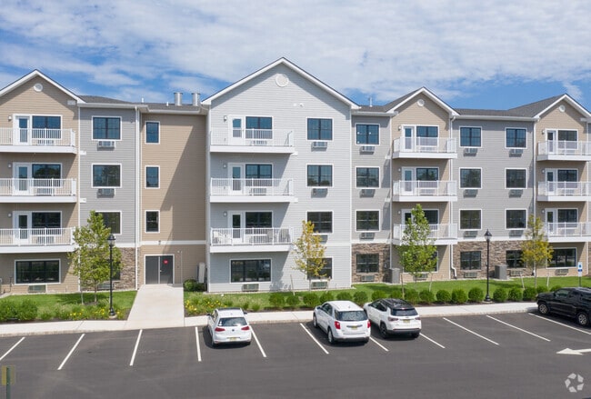

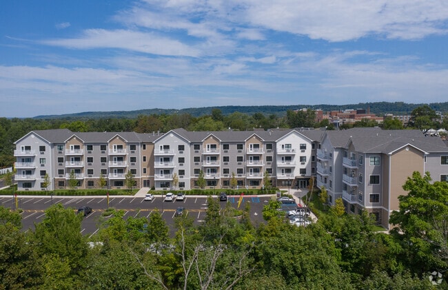
Property Detail
40 Haynes St
Lakewood-New Brunswick, NJ
ADDITIONAL LOTS: L4
18-00050-0000-00003
SOMERSET
Vacantlandnec
New Jersey
R-3
3
B and X Area of moderate flood hazard, usually the area between the limits of the 100-year and 500-year floods.
7.10 AC
2024
Outlying Somerset County
2025
Northern New Jersey
050600
NEARBY LISTINGS FOR SALE OR LEASE
DEMOGRAPHICS near 40 Haynes St
1 mile
3 mile
5 mile
2025 Total Population
12,461
63,283
141,077
2030 Population
13,119
65,968
146,818
Pop Growth 2025-2030
+ 5.28%
+ 4.24%
+ 4.07%
Average Age
40
41
42
2025 Total Households
4,784
24,170
52,623
HH Growth 2025-2030
+ 5.54%
+ 4.53%
+ 4.29%
Median Household Inc
$124,774
$116,008
$132,958
Avg Household Size
2.50
2.50
2.60
2025 Avg HH Vehicles
2.00
2.00
2.00
Median Home Value
$415,629
$455,697
$514,377
Median Year Built
1961
1967
1976
Nearby Places
Map Layers
Map Styles
 Street
 Aerial
Layers
 Traffic
 Biking
Places
Listings with unknown addresses are not visible on the map
- Restaurants
- Banks
- Shops
- Fitness
- Groceries
PUBLIC TRANSPORTATION
COMMUTER RAIL
Somerville (Raritan Valley Line - NJ Transit Commuter Rail (NJ Transit))
Drive
Walk
Distance
Somerville (Raritan Valley Line - NJ Transit Commuter Rail (NJ Transit))
4 min
1.2 mi
Raritan (Raritan Valley Line - NJ Transit Commuter Rail (NJ Transit))
Drive
Walk
Distance
Raritan (Raritan Valley Line - NJ Transit Commuter Rail (NJ Transit))
7 min
2.3 mi
AIRPORT
Trenton Mercer
Drive
Walk
Distance
Trenton Mercer
53 min
28.1 mi
Newark Liberty International
Drive
Walk
Distance
Newark Liberty International
45 min
30.6 mi
Freight Ports
New York Container Terminal
Drive
Walk
Distance
New York Container Terminal
43 min
31.5 mi
Nearby Properties
Address
Land Use
TOTAL SIZE
Lot Size
Zoning
Address
Land Use
TOTAL SIZE
Lot Size
Zoning
26.42 AC
C2
Address
Land Use
TOTAL SIZE
Lot Size
Zoning
108.74 AC
OM-3
Address
Land Use
TOTAL SIZE
Lot Size
Zoning
13.59 AC
H
Address
Land Use
TOTAL SIZE
Lot Size
Zoning
70.22 AC
B-I
Address
Land Use
TOTAL SIZE
Lot Size
Zoning
39.10 AC
C3
Address
Land Use
TOTAL SIZE
Lot Size
Zoning
22.36 AC
PAC
Address
Land Use
TOTAL SIZE
Lot Size
Zoning
22.75 AC
LC
Address
Land Use
TOTAL SIZE
Lot Size
Zoning
153 AC
Address
Land Use
TOTAL SIZE
Lot Size
Zoning
25.70 AC
PACD
Address
Land Use
TOTAL SIZE
Lot Size
Zoning
81.89 AC
M1
Address
Land Use
TOTAL SIZE
Lot Size
Zoning
310,200 SF
26.23 AC
B-I
Address
Land Use
TOTAL SIZE
Lot Size
Zoning
32.92 AC
B-I
Address
Land Use
TOTAL SIZE
Lot Size
Zoning
Address
Land Use
TOTAL SIZE
Lot Size
Zoning
66.08 AC
M3
Address
Land Use
TOTAL SIZE
Lot Size
Zoning
34.80 AC
OM-3
Address
Land Use
TOTAL SIZE
Lot Size
Zoning
82.79 AC
M2
Address
Land Use
TOTAL SIZE
Lot Size
Zoning
19.36 AC
M1
Address
Land Use
TOTAL SIZE
Lot Size
Zoning
19.34 AC
M1
Address
Land Use
TOTAL SIZE
Lot Size
Zoning
10.31 AC
PDRD
Address
Land Use
TOTAL SIZE
Lot Size
Zoning
2,488 SF
16.46 AC
PAC
Address
Land Use
TOTAL SIZE
Lot Size
Zoning
5.60 AC
CG
Address
Land Use
TOTAL SIZE
Lot Size
Zoning
8.26 AC
R40
Address
Land Use
TOTAL SIZE
Lot Size
Zoning
13.38 AC
B2
Address
Land Use
TOTAL SIZE
Lot Size
Zoning
1,056 SF
0.07 AC
Address
Land Use
TOTAL SIZE
Lot Size
Zoning
10.47 AC
C2
Address
Land Use
TOTAL SIZE
Lot Size
Zoning
9.91 AC
C2
Address
Land Use
TOTAL SIZE
Lot Size
Zoning
8.60 AC
C2
Address
Land Use
TOTAL SIZE
Lot Size
Zoning
19.63 AC
B-I
Address
Land Use
TOTAL SIZE
Lot Size
Zoning
394 SF
36.05 AC
M105
Address
Land Use
TOTAL SIZE
Lot Size
Zoning
43.63 AC
M1B
The World's #1 Commercial Real Estate Marketplace
Connect with us
© 2026 CoStar Group
The information above has been obtained from sources believed reliable. While we do not doubt its accuracy we have not verified it and make no guarantee, warranty or representation about it. It is your responsibility to independently confirm its accuracy and completeness. Any projections, opinions, assumptions, or estimates used are for example only and do not represent the current or future performance of the property. The value of this transaction to you depends on tax and other factors which should be evaluated by your tax, financial, and legal advisors. You and your advisors should conduct a careful, independent investigation of the property to determine to your satisfaction the suitability of the property for your needs.