Property Record
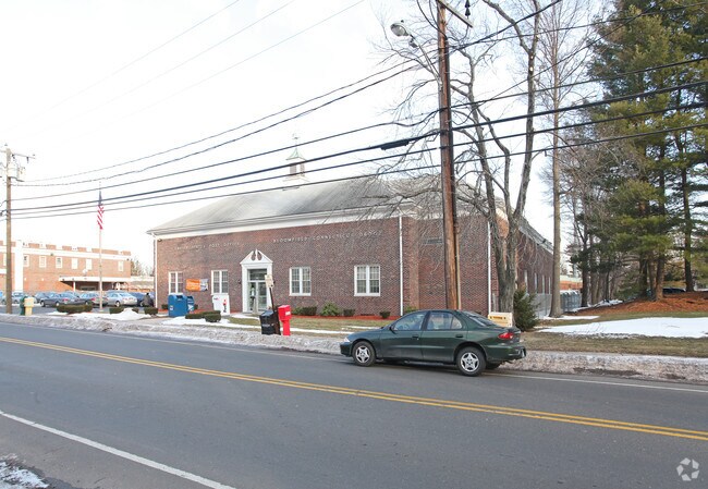
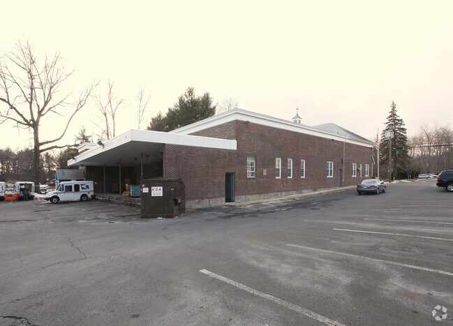
40 Jerome Ave, Bloomfield, CT 06002

Property Detail
40 Jerome Ave
BLOO-001773-000000-000002-000003
HARTFORD
Commercialbuilding
Connecticut
BCD
2
B and X Area of moderate flood hazard, usually the area between the limits of the 100-year and 500-year floods.
0.80 AC
2024
Bloomfield
2025
Hartford
471300
Hartford-West Hartford-East Hartford, CT
9,412 SF
NEARBY LISTINGS FOR SALE OR LEASE
-
-
View all Bloomfield listings for sale on LoopNet.com
DEMOGRAPHICS near 40 Jerome Ave
1 mile
3 mile
5 mile
2025 Total Population
6,267
40,661
142,598
2030 Population
6,532
41,607
145,423
Pop Growth 2025-2030
+ 4.23%
+ 2.33%
+ 1.98%
Average Age
45
43
41
2025 Total Households
2,736
15,511
57,624
HH Growth 2025-2030
+ 4.06%
+ 2.46%
+ 2.07%
Median Household Inc
$107,337
$101,418
$80,805
Avg Household Size
2.20
2.40
2.30
2025 Avg HH Vehicles
2.00
2.00
1.00
Median Home Value
$283,582
$306,903
$339,807
Median Year Built
1974
1965
1959
Nearby Places
Map Layers
Map Styles
 Street
 Aerial
Transit
 Traffic
 Biking
Places
Listings with unknown addresses are not visible on the map
- Restaurants
- Banks
- Shops
- Fitness
- Groceries
PUBLIC TRANSPORTATION
COMMUTER RAIL
Hartford (Hartford Line - CONN DOT)
Drive
Walk
Distance
Hartford (Hartford Line - CONN DOT)
11 min
6.1 mi
Hartford Amtrak Station (Amtrak Hartford Line - Amtrak, Northeast Regional - Amtrak, Valley Flyer - Amtrak, Vermonter - Amtrak)
Drive
Walk
Distance
Hartford Amtrak Station (Amtrak Hartford Line - Amtrak, Northeast Regional - Amtrak, Valley Flyer - Amtrak, Vermonter - Amtrak)
11 min
6.3 mi
AIRPORT
Bradley International
Drive
Walk
Distance
Bradley International
29 min
12.3 mi
Freight Ports
Port of New Haven
Drive
Walk
Distance
Port of New Haven
62 min
45.5 mi
Nearby Properties
Address
Land Use
TOTAL SIZE
Lot Size
Zoning
Address
Land Use
TOTAL SIZE
Lot Size
Zoning
15,871 SF
42.80 AC
PO
Address
Land Use
TOTAL SIZE
Lot Size
Zoning
66.60 AC
I-2
Address
Land Use
TOTAL SIZE
Lot Size
Zoning
802,150 SF
96.24 AC
I-2
Address
Land Use
TOTAL SIZE
Lot Size
Zoning
5.56 AC
CAMP
Address
Land Use
TOTAL SIZE
Lot Size
Zoning
68.36 AC
Address
Land Use
TOTAL SIZE
Lot Size
Zoning
7.45 AC
CAMP
Address
Land Use
TOTAL SIZE
Lot Size
Zoning
227,898 SF
5.33 AC
BCD
Address
Land Use
TOTAL SIZE
Lot Size
Zoning
310,901 SF
28.75 AC
MX-2
Address
Land Use
TOTAL SIZE
Lot Size
Zoning
15.31 AC
DDZ
Address
Land Use
TOTAL SIZE
Lot Size
Zoning
433,356 SF
45.53 AC
I-2
Address
Land Use
TOTAL SIZE
Lot Size
Zoning
211,308 SF
55.90 AC
R-13
Address
Land Use
TOTAL SIZE
Lot Size
Zoning
65,042 SF
36.76 AC
I-2
Address
Land Use
TOTAL SIZE
Lot Size
Zoning
772,060 SF
17.90 AC
DDZ
Address
Land Use
TOTAL SIZE
Lot Size
Zoning
23.10 AC
R-20
Address
Land Use
TOTAL SIZE
Lot Size
Zoning
23.07 AC
CAMP
Address
Land Use
TOTAL SIZE
Lot Size
Zoning
161,576 SF
4 AC
BCD
Address
Land Use
TOTAL SIZE
Lot Size
Zoning
39,281 SF
678.81 AC
R-80
Address
Land Use
TOTAL SIZE
Lot Size
Zoning
102,949 SF
59.10 AC
PEC
Address
Land Use
TOTAL SIZE
Lot Size
Zoning
82,938 SF
62.53 AC
I-1
Address
Land Use
TOTAL SIZE
Lot Size
Zoning
77,497 SF
14.17 AC
R-20
Address
Land Use
TOTAL SIZE
Lot Size
Zoning
135,344 SF
17.85 AC
PO
Address
Land Use
TOTAL SIZE
Lot Size
Zoning
180,964 SF
32.10 AC
R-15
Address
Land Use
TOTAL SIZE
Lot Size
Zoning
14.02 AC
PLR
Address
Land Use
TOTAL SIZE
Lot Size
Zoning
39.47 AC
R-15
Address
Land Use
TOTAL SIZE
Lot Size
Zoning
184,831 SF
40 AC
R-13
Address
Land Use
TOTAL SIZE
Lot Size
Zoning
451,806 SF
37.82 AC
I-2
Address
Land Use
TOTAL SIZE
Lot Size
Zoning
122,329 SF
4.49 AC
MX-2
Address
Land Use
TOTAL SIZE
Lot Size
Zoning
121,984 SF
16.35 AC
MX-2
Address
Land Use
TOTAL SIZE
Lot Size
Zoning
72.46 AC
MX-2
Address
Land Use
TOTAL SIZE
Lot Size
Zoning
53.78 AC
R-30
The World's #1 Commercial Real Estate Marketplace
Connect with us
© 2026 CoStar Group
The information above has been obtained from sources believed reliable. While we do not doubt its accuracy we have not verified it and make no guarantee, warranty or representation about it. It is your responsibility to independently confirm its accuracy and completeness. Any projections, opinions, assumptions, or estimates used are for example only and do not represent the current or future performance of the property. The value of this transaction to you depends on tax and other factors which should be evaluated by your tax, financial, and legal advisors. You and your advisors should conduct a careful, independent investigation of the property to determine to your satisfaction the suitability of the property for your needs.